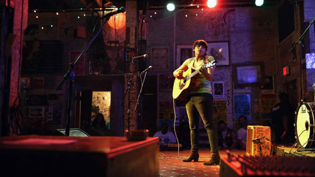
A Music Lover's Guide To The South
Guide to five of the most important cities to visit in the South for music lovers
Watch CBS News
Guide to five of the most important cities to visit in the South for music lovers
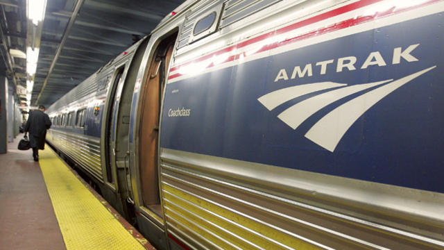
Enjoy the ride and check out the sights in both cities.
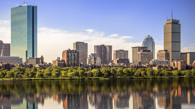
After completing its annual cost-comparison study, TripAdvisor announced Thursday that Boston is the third-most expensive city for travelers.

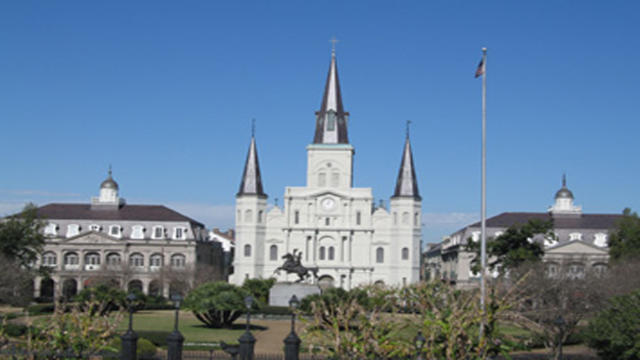
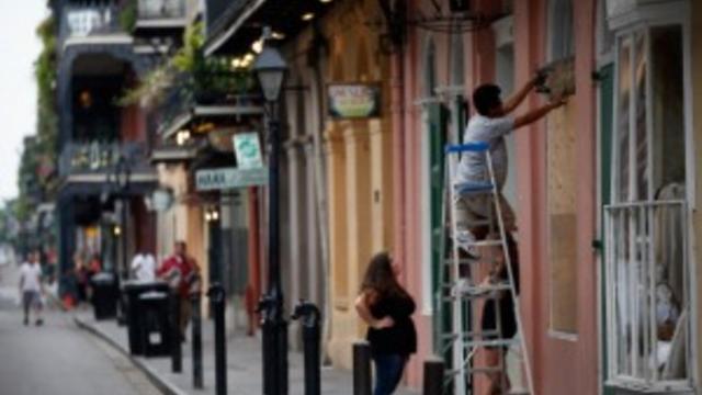
There are so many things to see and do in the New Orleans area, but only a handful are sights you do not want to miss seeing.
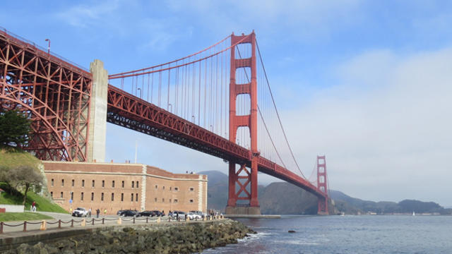
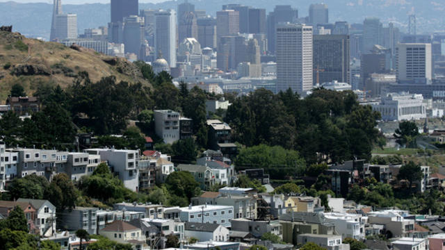
Most every popular destination in America shares something in common — a waterfront setting.

Police say they are aware of the connection between millionaire Robert Durst and the disappearance of Middlebury College student Lynne Schulze in Vermont in 1971.

Springtime is one of the best times of the year to visit a romantic destination in America.
Make plans to enjoy a vacation at some of the most gay-friendly destinations in America. All of these cities offer plenty of things to do, places to eat and opportunities to show your pride.

"NCIS: New Orleans" is a drama about the local field office that investigates criminal cases affecting military personnel in New Orleans.

New York City has many of the country's best restaurants but other foodie towns give the city some competition. For instance, Chicago's Alinea and the Napa Valley's Restaurant at Meadowood also deserve merit.
Featuring many of America's oldest cities, superb food, refined beauty and world famous attractions, the South has something to offer for all walks of life.

A woman wanted for allegedly kidnapping her daughter in New Orleans was arrested during a traffic stop on Interstate 95 in New Hampshire. The girl was found in Dorchester.
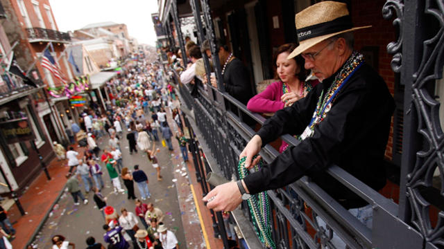
Mardi Gras 2014 may be a few weeks away, but Carnival season has already begun in New Orleans, with brightly colored parades throughout the city and much more to come.

Among the best American destinations to travel to for a bachelorette or bachelor party are Las Vegas, Los Angeles, South Beach Miami, New Orleans and New York City.
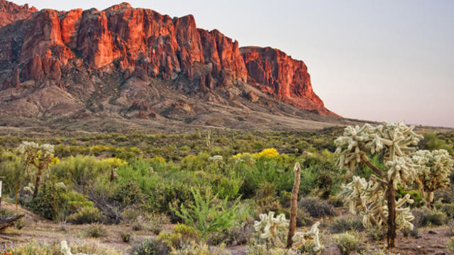
New Orleans, Orlando, Maui, Phoenix, and San Francisco are among the best places to visit in the U.S. in the off season.
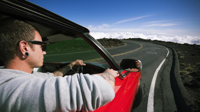
A road trip might be the rare occasion for guys to get away from it all and share a few drinks and laughs with their best buddies. Here are five of the best places to go on your guys' only road trip.

This video is part two of the Jay Talking cross-country rail trip from New Orleans to Los Angeles.
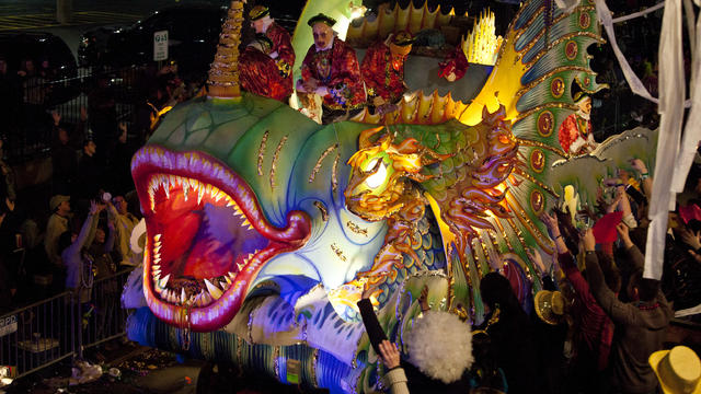
During Mardi Gras, dancing, drinking and every sort of excess are celebrated with the sort of infectious energy which could only emanate from the city of New Orleans, with all of its steeped history and tradition.
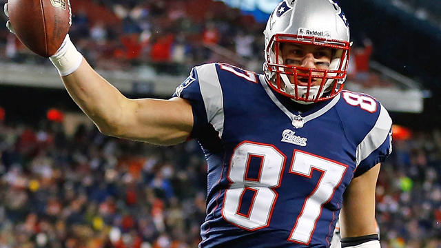
Patriots tight end Rob Gronkowski is making the rounds down in New Orleans, and making some friends in the process.

Every so often, Toucher & Rich employ the help of Tony Massarotti's randy alter ego "Naughty Massarotti." Felger & Massarotti are down in New Orleans for the Super Bowl -- a town with so much fun to be had it was only a matter of time before Naughty Mazz showed up.
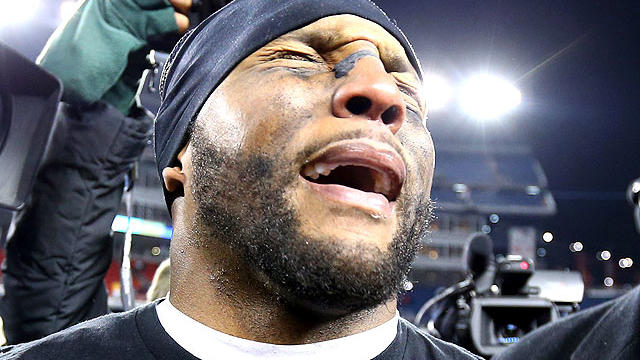
Baltimore Ravens linebacker Ray Lewis said he holds nothing against Anna Burns Welker -- the wife of Patriots receiver Wes Welker -- for a facebook post she made following Baltimore's AFC Championship win over New England.
Gresh and Zo debate if's time for fans to get away from Patriots talk and focus on the Celtics' struggles.
As Hurricane Isaac threatens the Gulf again, we will see if Katrina and Isaac serve as bookends of GOP hostility to federal disaster relief. An odd stance for a party that claims to "choose life" while watching people die in natural disasters rather than provide an adequate response.

What should the Republicans do with their convention if the big storm hits New Orleans? Why not seize the chance to explain how they can help it recover?
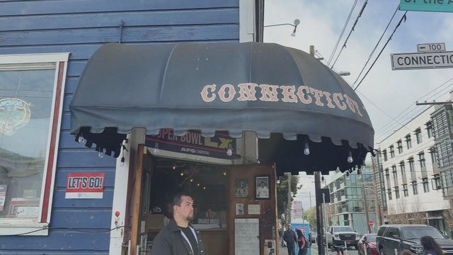
It's a home away from home for Boston fans in San Francisco, and it's where many are stopping in ahead of the New England Patriots facing the Seattle Seahawks in Super Bowl LX on Sunday.
Bad Bunny is set to take the stage at halftime for the 2026 Super Bowl. Here's who else is performing at Super Bowl 60.
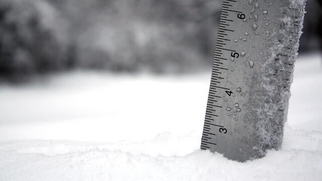
Plowable snow fell in Massachusetts on Saturday. Here's how much your area has gotten.
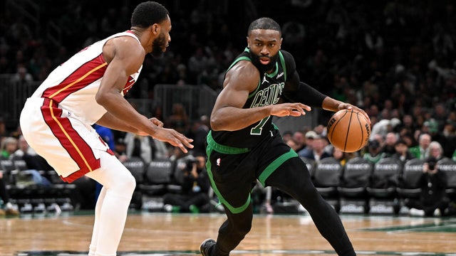
Jaylen Brown had 29 points and Payton Pritchard scored 24 points to help the Boston Celtics beat the Miami Heat 98-96 on Friday night.
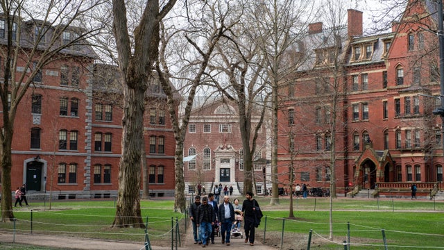
The Pentagon says it will cut ties with Harvard University, ending graduate-level military training, fellowship and certificate programs.
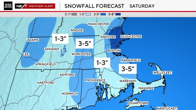
We've got yet another very cold and snowy weekend on tap in Boston. Here's what the weather forecast maps show.
Plowable snow is currently falling in Massachusetts. Here's how much your area has gotten.
It's a home away from home for Boston fans in San Francisco, and it's where many are stopping in ahead of the New England Patriots facing the Seattle Seahawks in Super Bowl LX on Sunday.
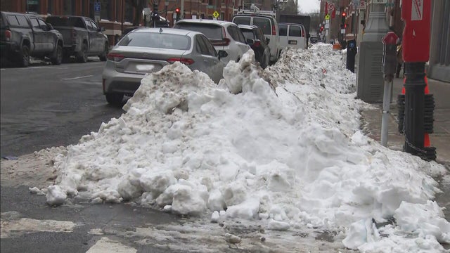
Boston Mayor Michelle Wu is defending the city's snow removal progress nearly two weeks after the storm hit.
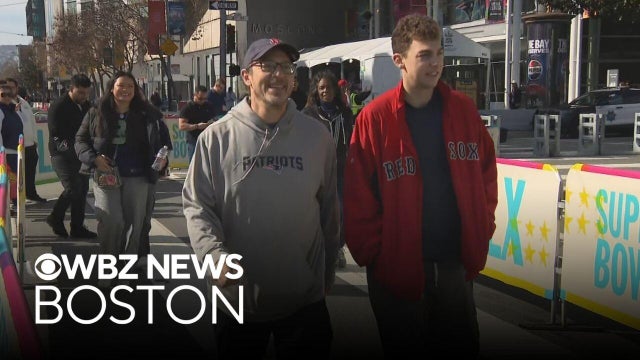
Patriots fans will have the memories for a lifetime after traveling for Super Bowl LX.

There's a new drug that can help early morning shift workers stay awake and alert, a study out of Boston found.

As millions of Americans struggle with paying for health care, doctors and health experts discuss how medical care is being eroded by insurers denying necessary tests and treatment, making it "more difficult to be healthy in the United States."

Flu cases are rising rapidly, especially among kids in Boston, where hospitalizations of children under five have increased 150% over the last two weeks.

Four children have died from the flu in Massachusetts so far this season, public health officials say.

Fewer people in Massachusetts are getting their seasonal flu and COVID vaccinations as the number of respiratory infections in the state continues to rise.
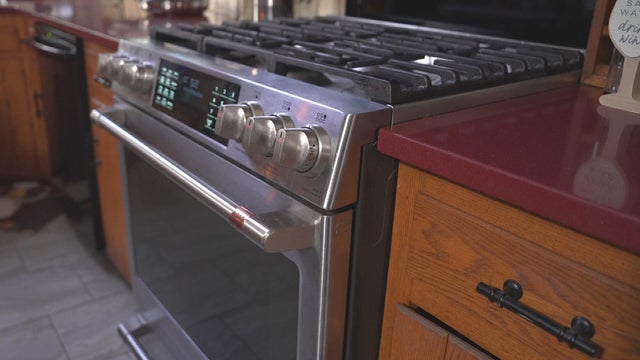
After I-Team reports about a Foxboro woman's frustration with her GE gas range, the company has agreed to give her a refund.
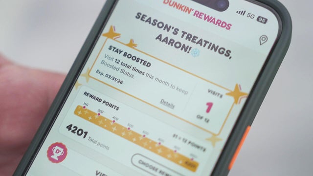
It took Aaron Braun years to get more than 93,000 Dunkin' rewards points, but after a policy change he's left with a fraction of that.

In the last three years, the Better Business Bureau has received thousands of complaints about GE.
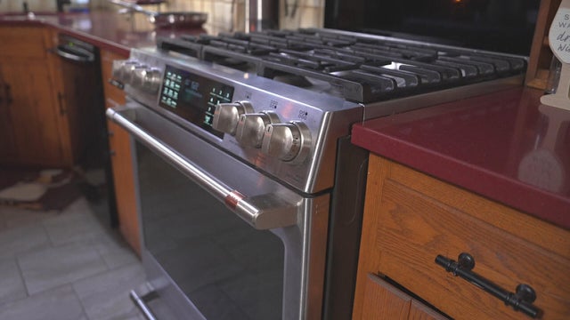
A home baker from Foxboro, Massachusetts is frustrated that the pricy oven she bought from GE wasn't working properly. Attempts to fix it failed.
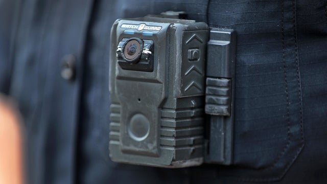
Eight states have laws making police body cameras mandatory. Massachusetts isn't one of them.

Both the Trump and Healey administrations are using government websites to blame each other for the shutdown.

Which party stands to take more of the blame from voters for the government shutdown? Here's what a new poll says.

A UNH Survey Center/Granite State poll shows John Sununu crushing Scott Brown by 23 points among likely primary voters in New Hampshire.

Seth Moulton said he's running against Sen. Ed Markey because "our party leaders are clinging to that old playbook."

Maine Governor Janet Mills' run for Senate comes with an unusual promise - she will only serve one six-year term.
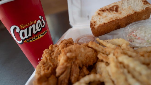
Raising Cane's claims a Boston landlord has threatened to evict one of its locations in the Back Bay because the restaurant "smells like chicken fingers."
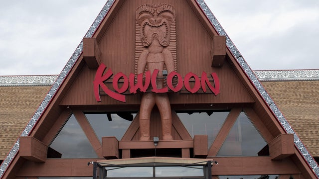
The Kowloon is coming to Revere Beach.
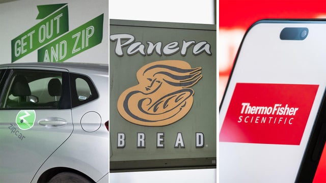
Panera, Zipcar and Thermo Fisher are all closing facilities or offices in Massachusetts.
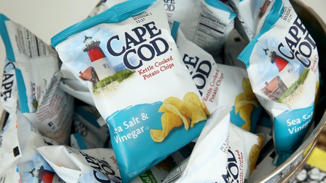
Cape Cod potato chips will no longer be made on Cape Cod as of this spring.
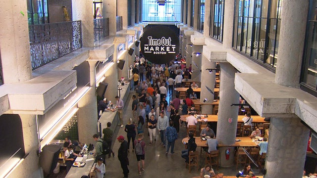
Time Out Market Boston, a food hall that opened in the Fenway neighborhood in 2019, won't be closing after all.

Just steps from the water's edge along Lake Winnipesaukee, a spectacular estate mixes modern architecture with breathtaking views.

An innovative craft winery located in downtown Meredith, New Hampshire, Hermit Woods is taking a different approach to winemaking.

Located on the water's edge along New Hampshire's Lake Winnipesaukee, Mill Falls blends elegant luxury with spectacular vistas.

Kohler Store by Supply New England and an interior designer showcases how beauty and functionality can breathe new life into a project.

James Beard-nominated pastry chef and co-founder of Bakey in Boston gives insight on how to make his world-famous babka.
Bad Bunny is set to take the stage at halftime for the 2026 Super Bowl. Here's who else is performing at Super Bowl 60.
Jaylen Brown had 29 points and Payton Pritchard scored 24 points to help the Boston Celtics beat the Miami Heat 98-96 on Friday night.
Jayson Tatum is not ready to come back yet this season, Boston Celtics president Brad Stevens said Friday.
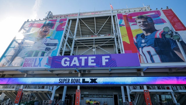
Eager to attend this year's Super Bowl? Be prepared to pay four figures for the ticket alone — and those are the cheap seats.
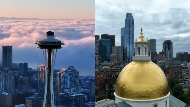
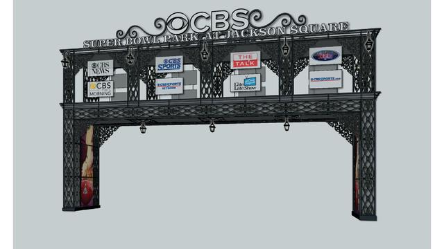
While the Seahawks and Patriots will face off on the field, the NFL cities look to outshine each other.
Raising Cane's claims a Boston landlord has threatened to evict one of its locations in the Back Bay because the restaurant "smells like chicken fingers."
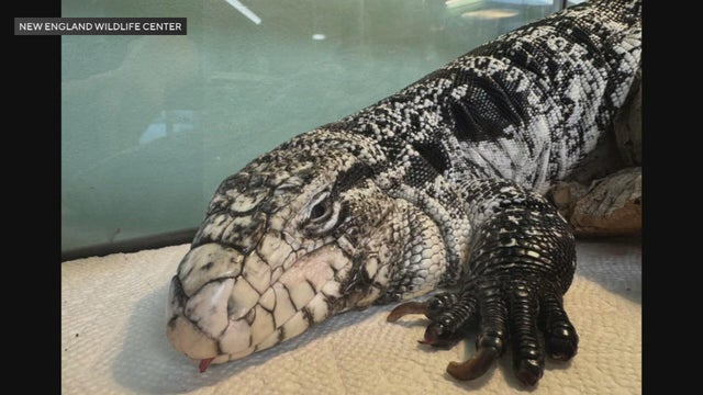
A tegu lizard was found buried beneath the snow in Providence, Rhode Island.

A gathering of North Atlantic right whales off Massachusetts over the weekend appears to have set a new monthly record.
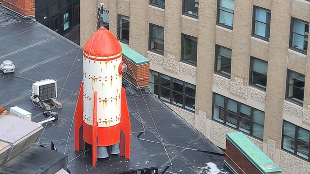
A rocketship on a downtown Boston roof is part of the new Winteractive 2026 public art installation.

The overpowering scent of Dunkin' donuts in the air has some Haverhill residents complaining.