
5 Best Beach Towns In Texas
A visit to the Texas Coast is a great way to stay cool over the summer.
Watch CBS News

A visit to the Texas Coast is a great way to stay cool over the summer.
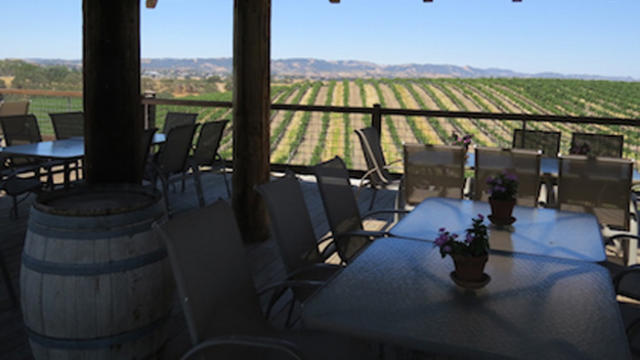
Travelers looking to visit someplace new should consider these five up-and-coming American travel destinations in 2015.
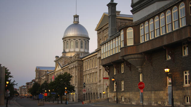
Many international destinations close to home may prove to be a better option than South Beach or Miami. Among the best international trips that can be done in a weekend are the Bahamas, Cabo San Lucas, Cancun, Montreal and Vancouver.

A glorious day across the region with sunshine, light west winds, lowered humidity and temps warming into the mid-upper 80's. Just an incredible beach day which could not happen at a better time.

One of the largest tornado outbreaks in recent history occurred this past weekend with close to 200 tornadoes moving from the Plains to the Gulf to the Carolinas.


Behind the departing low, some early sunshine this morning, but as the ground warms clouds and the wave passes through expect more clouds to rotate through, as well as the slight risk for a few passing light showers or sprinkles. Behind the short wave, skies should be breaking this afternoon for some increasing sunshine with a breezy west wind. Highs will be in the 40's in the clouds, Lwr 50's in the sunshine towards the coastal plain. Most of the sun today will be found in the south...yet most should be clearing as we head towards evening.

Clouds will be on the increase tonight. These clouds will trap in todays warmth. This along with south winds should help to keep temps pleasantly mild through the overnight in the 40's. Temps will be climbing right back into the 50's tomorrow as warmer air remains in place along the eastern seaboard ahead our approaching rainfall.

Talk about a Super Sunday! So nice outside. In fact this is the warmest we have been since January 2nd when we reached 51 degrees. Nice to finally thaw a bit. Highs today will climb to 40 to 46 degrees in the sunshine and diminishing wind behind our departing low whose low pressure has dropped down to 981 mb over Nova Scotia.

Clouds rolling through this morning as another shortwave pushes through. Scattered flurries are possible with the passage of an arctic front which will be off the coast this afternoon with clearing skies later in the day. Cold air settles in overnight with lows in the single digits and teens, NW valleys below zero. Arctic sunshine in place for Monday with highs in the teens and Lwr 20's.

A mix of sun and clouds will fade to increasing clouds as the disturbance moves through. Upper level winds are helping to shear this apart with snow weakening over PA and NY. This disturbance will try to provide a little light snow shower activity and flurries south of the Pike for the mid-late afternoon into the early evening. Not expecting much more than a coating to 1" in places especially in CT, RI and Southeast MA...if at all as most of the snow will fall apart and stay away.

Just like in a basketball game, suddenly this winter has gone on the offensive and is going into a full court press. You may not know it yet..but the weather is starting to line up for plenty of cold with the chance for a few snowstorms before the month is through.

At this point there are still more questions than answers in regards to the upcoming storm. We are still playing a game of "Wait and See". Not just what the models are going to say..but also how the actual weather is going to behave.

The final batch of light snow is pushing from Southern Maine into Eastern Mass for the late morning and midday. Light snow will be tapering off this afternoon...but it could take the Cape and islands most of the day for the snow to finally end. Temps will be warming into the upper 30's, so some of this light snow at the coast may start to mix with a light rain.

The snow will ease up this evening in intensity...light snow/flurries..Heavier west of Boston...but watch for another band of heavy snow to slide down the coast early tomorrow just before dawn. It will be snowing tomorrow morning at the coast and this could last until 9-10 AM...with additional minor accumulations....but low visibility..and just a few inches can make driving hazardous from the Cape to the South Shore. Expect a slow go.

A cold front is pushing through New England tonight. An upper level short wave is providing enough instability and lift that showers are developing along this boundary. On the cooler side of the front, light snow has developed in Pittsfield, Springfield, Orange, Hartford, Windsor Locks, and Gardner. Worcester will be changing over to snow this evening as well. In fact this upper level disturbance has the potential to provide scattered rain/snow showers across much of the region as the front approaches the coast. As temperatures fall behind the front, there is the potential for black ice to develop after midnight

Upper Level winds are steering clouds and moisture from the tropics right up the Eastern searboard into New England today. A cloudy cool overcast kind of day can be expected with temps remaining in the 40's with cool NNE winds which are helping to push away any sort of warmth left over from yesterday.

Oil has been spilling into the Gulf of Mexico for 72 days; more than 140 million gallons and it keeps flowing. The question many in New England are...
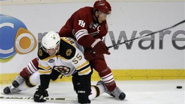
Scientists are trying to figure out what is going to happen with the oil spill in the Gulf of Mexico when hurricane season approaches . Jerry from...


Jayson Tatum could make his season debut with the Boston Celtics Friday night. The Celtics upgraded Tatum to questionable Thursday.
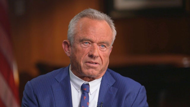
HHS Secretary RFK Jr. wants the popular coffee chains to prove their surgery drinks are safe for teens and suggested the Trump administration could place limits on your cup of coffee.
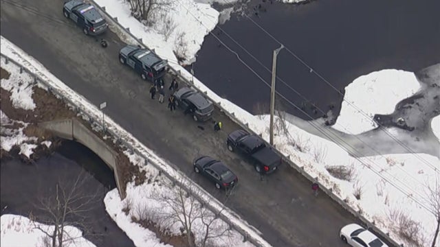
A body part was found in a pond in Shirley, Massachusetts and investigators said foul play is suspected.

The Boston Fleet has sold out a game at TD Garden for the first time, the team announced Thursday
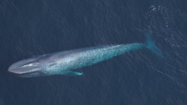
Blue whales, the largest animals on Earth, have been spotted not far off the coast of Massachusetts.

Jayson Tatum could make his season debut Friday night. The Celtics upgraded him to questionable Thursday.
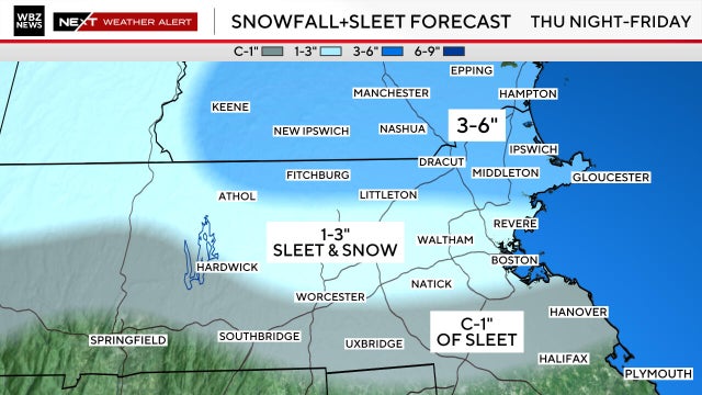
The greatest impacts and most treacherous travel will occur between 9 p.m. Thursday and 9 a.m. Friday.

A body part was found in a pond in Shirley, Massachusetts and investigators said foul play is suspected.

Blue whales, the largest animals on Earth, have been spotted not far off the coast of Massachusetts.

The Boston Fleet has sold out their first-ever game at TD Garden, the team announced Thursday

HHS Secretary RFK Jr. wants the popular coffee chains to prove their surgery drinks are safe for teens and suggested the Trump administration could place limits on your cup of coffee.
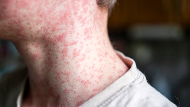
Two Massachusetts residents have been diagnosed with measles, the Department of Public Health confirmed Friday.

There's a new drug that can help early morning shift workers stay awake and alert, a study out of Boston found.
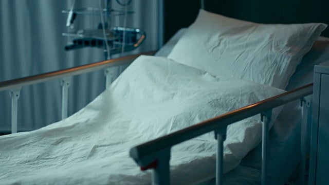
As millions of Americans struggle with paying for health care, doctors and health experts discuss how medical care is being eroded by insurers denying necessary tests and treatment, making it "more difficult to be healthy in the United States."

Flu cases are rising rapidly, especially among kids in Boston, where hospitalizations of children under five have increased 150% over the last two weeks.

In the last four years there were 168 threats made against trial court judges in Massachusetts, according to state records.
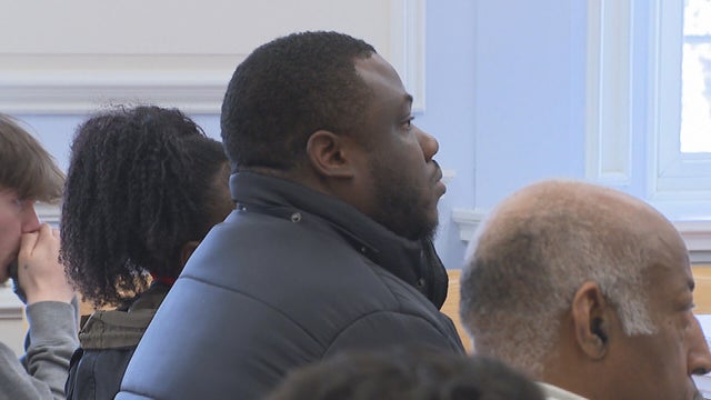
A former staff member at a Massachusetts residential program for children living with autism is accused of breaking a teenage student's arm.

The ads for the Find Mass Money website in Massachusetts make it seem easy. But one couple struggled to get their $11,000.

Four Massachusetts State Police instructors have been charged following an investigation into the 2024 death of state police recruit Enrique Delgado-Garcia.

After I-Team reports about a Foxboro woman's frustration with her GE gas range, the company has agreed to give her a refund.

Both the Trump and Healey administrations are using government websites to blame each other for the shutdown.
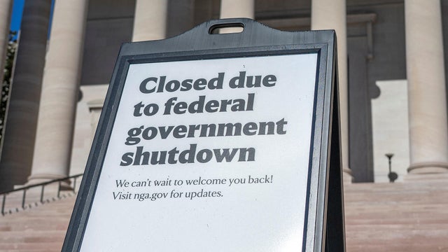
Which party stands to take more of the blame from voters for the government shutdown? Here's what a new poll says.
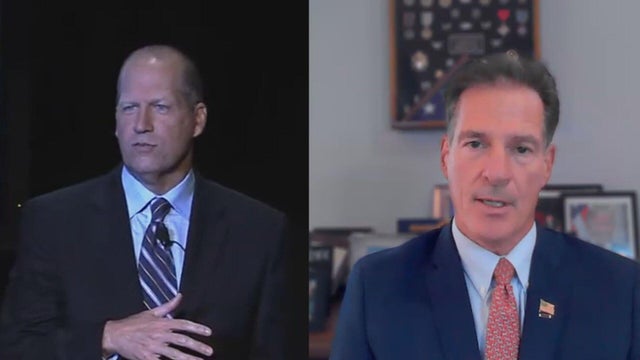
A UNH Survey Center/Granite State poll shows John Sununu crushing Scott Brown by 23 points among likely primary voters in New Hampshire.

Seth Moulton said he's running against Sen. Ed Markey because "our party leaders are clinging to that old playbook."

Maine Governor Janet Mills' run for Senate comes with an unusual promise - she will only serve one six-year term.
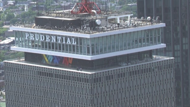
The restaurants at View Boston are closing this spring.

Uno Pizzeria and Not Your Average Joe's are closing more restaurants in Massachusetts.
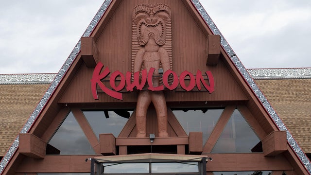
Kowloon is expected to draw big crowds to Revere, Massachusetts when it opens a new tiki bar.

Two more movie theater chains are closing locations in Massachusetts. Experts say megaplexes need to make major changes.
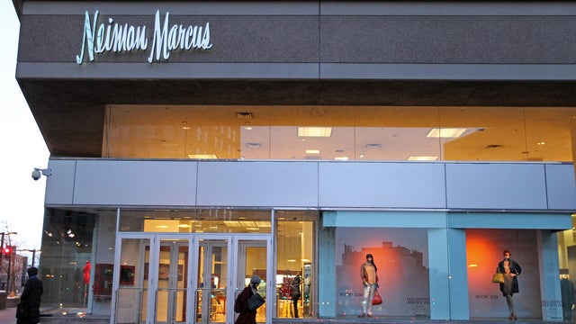
The Neiman Marcus store at Copley Place in Boston is closing, Saks Global announced.
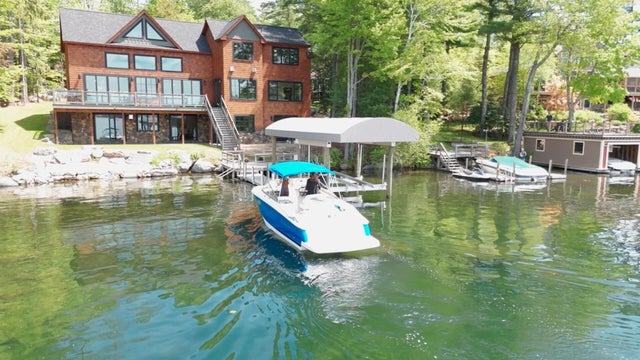
Just steps from the water's edge along Lake Winnipesaukee, a spectacular estate mixes modern architecture with breathtaking views.

An innovative craft winery located in downtown Meredith, New Hampshire, Hermit Woods is taking a different approach to winemaking.
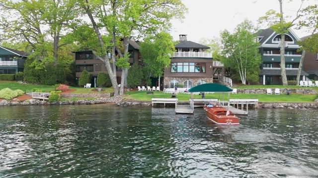
Located on the water's edge along New Hampshire's Lake Winnipesaukee, Mill Falls blends elegant luxury with spectacular vistas.

Kohler Store by Supply New England and an interior designer showcases how beauty and functionality can breathe new life into a project.

James Beard-nominated pastry chef and co-founder of Bakey in Boston gives insight on how to make his world-famous babka.

Jayson Tatum could make his season debut with the Boston Celtics Friday night. The Celtics upgraded Tatum to questionable Thursday.

The Boston Fleet has sold out a game at TD Garden for the first time, the team announced Thursday

The Charlotte Hornets extended their win streak to six games with a 118-89 win over the Boston Celtics on Wednesday night.

The New England Patriots are set to release star wide receiver Stefon Diggs, according to reports.

Marat Khusnutdinov and Casey Mittelstadt scored less than a minute apart early in the first period and the Boston Bruins held on for a 2-1 victory over the Pittsburgh Penguins on Tuesday night.

Blue whales, the largest animals on Earth, have been spotted not far off the coast of Massachusetts.
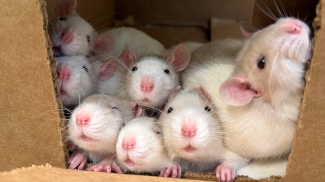
The MSPCA-Angell is looking to find homes for 163 rats that were surrendered in Massachusetts.
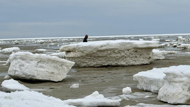
Cape Cod beaches are covered with chunks of ice amid an abnormally cold winter in Massachusetts.
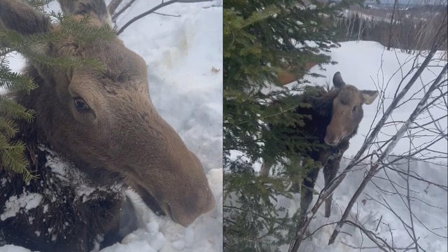
Snowmobilers came to the rescue of a moose that was buried up to its neck in snow off a New England trail on Tuesday.
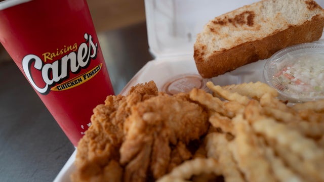
Raising Cane's claims a Boston landlord has threatened to evict one of its locations in the Back Bay because the restaurant "smells like chicken fingers."