
Captain Describes Rescue After Boat Capsizes Off Wareham
An 8-year-old boy is in a Boston hospital Thursday, a day after a boat carrying 12 people capsized in the waters off Wareham.
Watch CBS News
An 8-year-old boy is in a Boston hospital Thursday, a day after a boat carrying 12 people capsized in the waters off Wareham.

Twelve people have been rescued after a boat overturned in Wareham near the Cape Cod Canal Wednesday afternoon.

The "Dream Day" camp is designed for children dealing with serious and even life-threatening illnesses.

If you spent the long Fourth of July weekend down the Cape, you weren't alone--the CEO of the Cape Cod Chamber of Commerce says it may have been their best tourism weekend ever.

According to the WBZ Weather Team, nearly double the average rainfall for the entire month of July fell in a matter of hours.
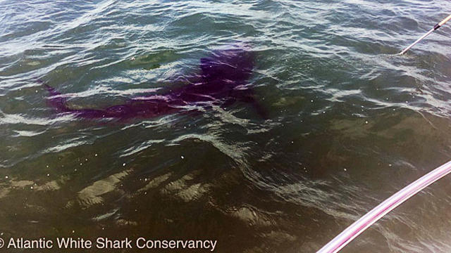
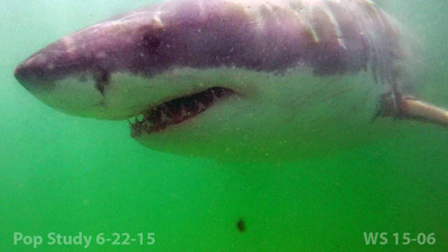
The 13-foot shark was tagged off North Beach Island.

So far there are no clear answers about what is killing the Northern Gannets.

Two kittens, a dog, and a rabbit up for adoption from the MSPCA Cape Cod Adoption Center were featured on the Pet Parade Sunday.

Coastal researchers in Massachusetts say they found more endangered right whales in Cape Cod Bay recently than on any one day in recent history.
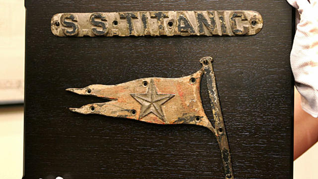
The National Park Service is commemorating a Cape Cod communication station's role in saving hundreds of passengers from the sinking of the Titanic.

A Cape Cod man was arrested Sunday morning after a drug task force raided his house and found what authorities said was an illegally-possessed AR-15 style rifle.

March has certainly been a cruel month along the coast and the onslaught continued, wind and waves battering an already weary shoreline.
Researchers are planning what they say is the first manned submersible expedition to the Titanic since 2005.
The latest data from a multiyear study of the ocean predators found that the number of sharks in waters off the vacation haven appears to be on the rise.

A dog, two cats, and a rabbit, all up for adoption from the Cape Cod MSPCA, were featured on the Pet Parade Sunday morning.
Life is good on the Cape, according to a new survey.

A Barnstable man was arraigned on murder charges in the killing of his wife early Tuesday morning.

The vehicle was buried under sand for decades in the garage of an old cottage.

Sand dunes on Cape Cod are no match for the winter storms that have hit the region recently.
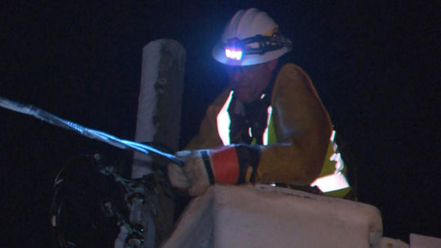
More than 50,000 customers lost power on Cape Cod during Thursday's storm.
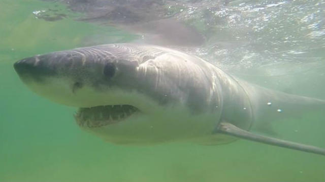
When the summer months roll around, reports of shark attacks are sure to follow in North America.

Three people were arrested in a drug bust at a multi-million dollar Cape Cod home owned by the Shriver family.

While crews were working to pluck the man from the icy waters off of McMillan Pier, they faced difficulty from the heavy winds and snow.

Portions of the Massachusetts coast are under a blizzard warning as a storm that has wreaked havoc in southern states makes its presence known in New England.
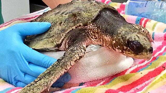
Over a dozen endangered sea turtles rescued from cold waters off Massachusetts have arrived in the Florida Keys for rehabilitation.

Plowable snow is currently falling in Massachusetts. Here's how much your area has gotten.
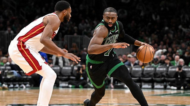
Jaylen Brown had 29 points and Payton Pritchard scored 24 points to help the Boston Celtics beat the Miami Heat 98-96 on Friday night.
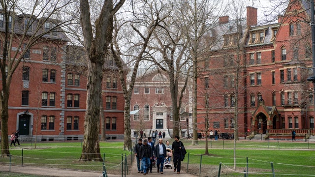
The Pentagon says it will cut ties with Harvard University, ending graduate-level military training, fellowship and certificate programs.
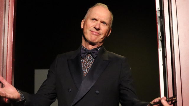
Actor Michael Keaton was roasted before receiving the 2026 Man of the Year by Harvard University's Hasty Pudding Theatricals.

A Wellesley, Massachusetts day care was shut down after a dozen children came in contact with an irritant that left their hands red.
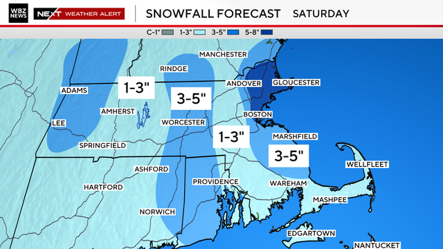
We've got yet another very cold and snowy weekend on tap in Boston. Here's what the weather forecast maps show.
A Wellesley, Massachusetts day care was shut down after a dozen children came in contact with an irritant that left their hands red.
Plowable snow is currently falling in Massachusetts. Here's how much your area has gotten.
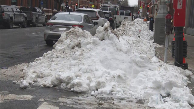
Boston Mayor Michelle Wu is defending the city's snow removal progress nearly two weeks after the storm hit.

Drake Maye and the Patriots have been wearing "Be A Blessing" sweatshirts. Here's what to know about the Nike hoodie.

There's a new drug that can help early morning shift workers stay awake and alert, a study out of Boston found.

As millions of Americans struggle with paying for health care, doctors and health experts discuss how medical care is being eroded by insurers denying necessary tests and treatment, making it "more difficult to be healthy in the United States."

Flu cases are rising rapidly, especially among kids in Boston, where hospitalizations of children under five have increased 150% over the last two weeks.

Four children have died from the flu in Massachusetts so far this season, public health officials say.

Fewer people in Massachusetts are getting their seasonal flu and COVID vaccinations as the number of respiratory infections in the state continues to rise.

After I-Team reports about a Foxboro woman's frustration with her GE gas range, the company has agreed to give her a refund.
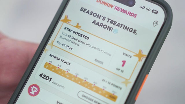
It took Aaron Braun years to get more than 93,000 Dunkin' rewards points, but after a policy change he's left with a fraction of that.

In the last three years, the Better Business Bureau has received thousands of complaints about GE.
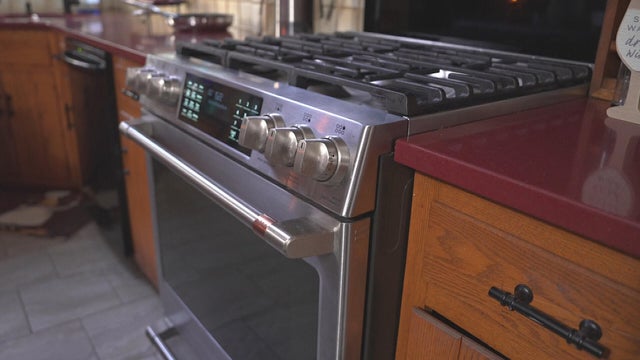
A home baker from Foxboro, Massachusetts is frustrated that the pricy oven she bought from GE wasn't working properly. Attempts to fix it failed.
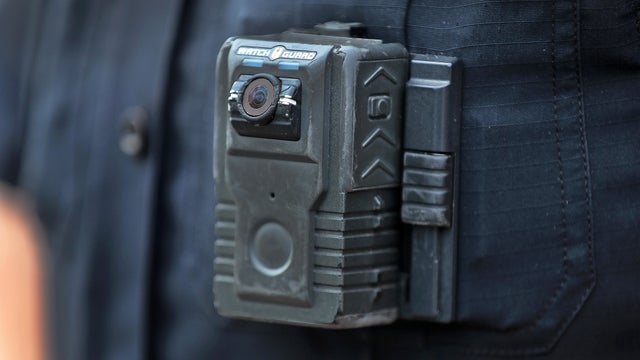
Eight states have laws making police body cameras mandatory. Massachusetts isn't one of them.

Both the Trump and Healey administrations are using government websites to blame each other for the shutdown.

Which party stands to take more of the blame from voters for the government shutdown? Here's what a new poll says.

A UNH Survey Center/Granite State poll shows John Sununu crushing Scott Brown by 23 points among likely primary voters in New Hampshire.

Seth Moulton said he's running against Sen. Ed Markey because "our party leaders are clinging to that old playbook."

Maine Governor Janet Mills' run for Senate comes with an unusual promise - she will only serve one six-year term.
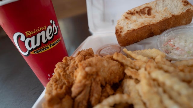
Raising Cane's claims a Boston landlord has threatened to evict one of its locations in the Back Bay because the restaurant "smells like chicken fingers."
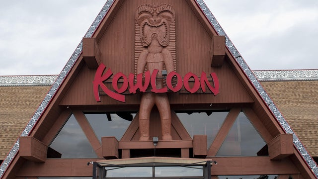
The Kowloon is coming to Revere Beach.
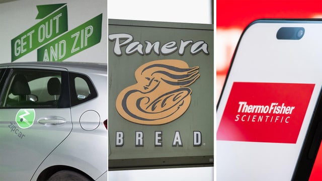
Panera, Zipcar and Thermo Fisher are all closing facilities or offices in Massachusetts.
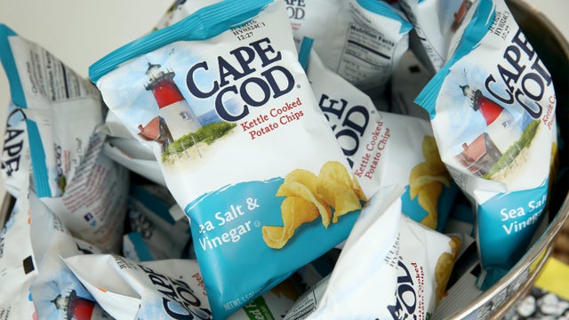
Cape Cod potato chips will no longer be made on Cape Cod as of this spring.
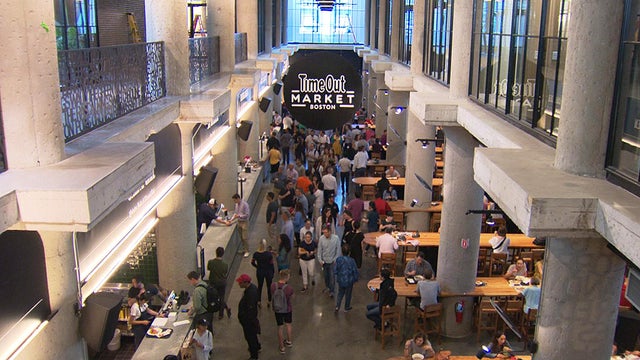
Time Out Market Boston, a food hall that opened in the Fenway neighborhood in 2019, won't be closing after all.

Just steps from the water's edge along Lake Winnipesaukee, a spectacular estate mixes modern architecture with breathtaking views.

An innovative craft winery located in downtown Meredith, New Hampshire, Hermit Woods is taking a different approach to winemaking.

Located on the water's edge along New Hampshire's Lake Winnipesaukee, Mill Falls blends elegant luxury with spectacular vistas.

Kohler Store by Supply New England and an interior designer showcases how beauty and functionality can breathe new life into a project.

James Beard-nominated pastry chef and co-founder of Bakey in Boston gives insight on how to make his world-famous babka.
Jaylen Brown had 29 points and Payton Pritchard scored 24 points to help the Boston Celtics beat the Miami Heat 98-96 on Friday night.

Jayson Tatum is not ready to come back yet this season, Boston Celtics president Brad Stevens said Friday.

Eager to attend this year's Super Bowl? Be prepared to pay four figures for the ticket alone — and those are the cheap seats.

While the Seahawks and Patriots will face off on the field, the NFL cities look to outshine each other.
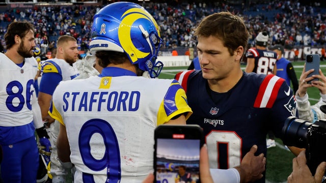
Rams quarterback Matthew Stafford topped Patriots rising star Drake Maye in the MVP voting.
Raising Cane's claims a Boston landlord has threatened to evict one of its locations in the Back Bay because the restaurant "smells like chicken fingers."
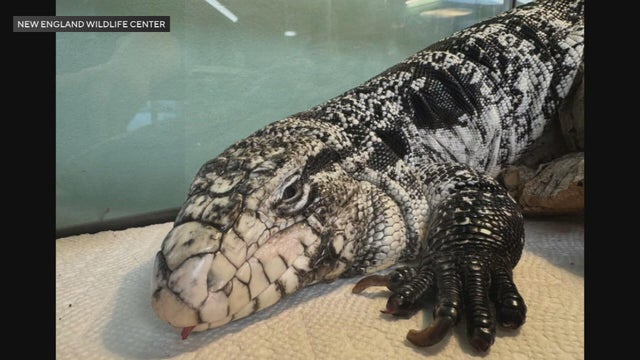
A tegu lizard was found buried beneath the snow in Providence, Rhode Island.
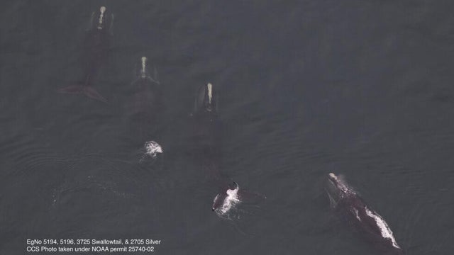
A gathering of North Atlantic right whales off Massachusetts over the weekend appears to have set a new monthly record.

A rocketship on a downtown Boston roof is part of the new Winteractive 2026 public art installation.

The overpowering scent of Dunkin' donuts in the air has some Haverhill residents complaining.