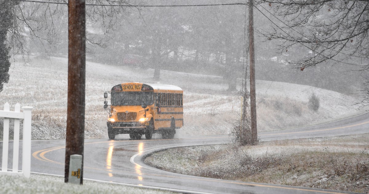
Yikes...Snow!
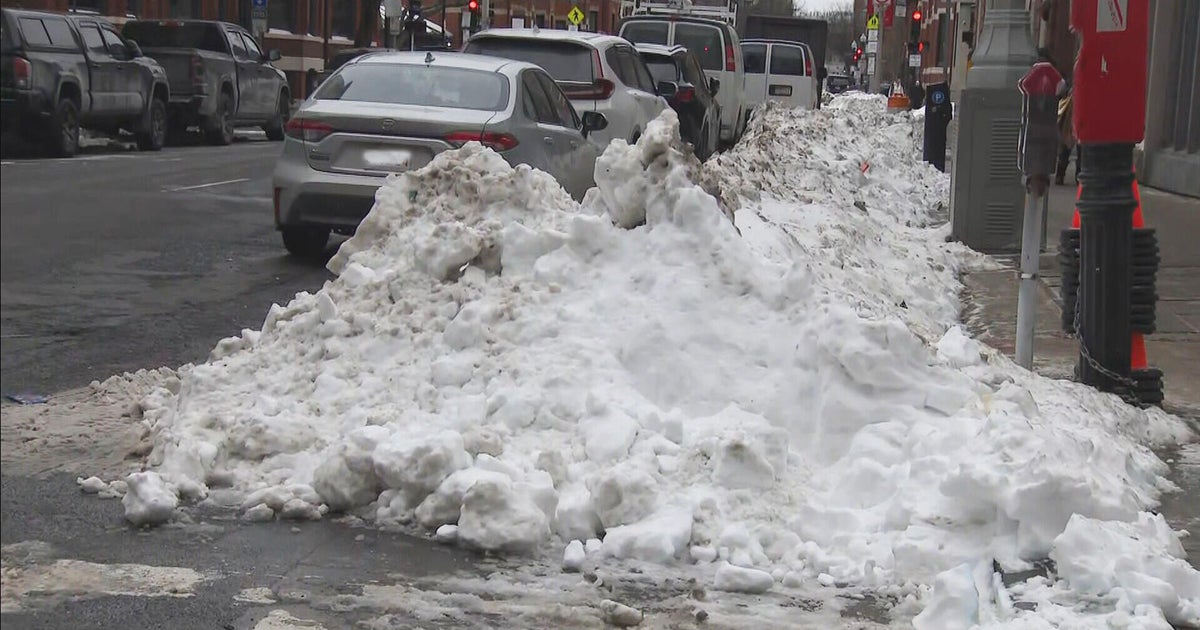
It's not unheard of to get snow this late in the season...in fact one of the largest snowstorms to ever hit Southern New England fell over April Fool's Day back in 1997. Two feet of snow fell in Boston on that date and it was the largest snowstorm ever in Worcester...33 inches! Just last year, Boston had 1.5" and Worcester picked up almost half a foot as we turned the calendar from March to April.
What we see this weekend won't come even close to either storm. There is a lot working against this system. A ton of dry air in place will chew up moisture on the northern side of the storm...where we are. The ground is abnormally warm thanks to the 80s last week. And anything that falls shortly after sunrise will not accumulate as the sun angle is much higher and even with clouds it will be much brighter offering up some warmth keeping temps above freezing. With that said, precip will break out late tonight and will taper off tomorrow early in the afternoon. The heaviest will fall south of Boston and that's where the highest amounts of snow will be seen. Elevated areas near the RI & CT border will pick up an inch or two of slushy snow, elsewhere, a thin coating will be possible on the grass and back deck. That system will pull away in the afternoon and we will be clearing in the evening. Sunday will consequently start out sunny but with another system racing in from the west, clouds will increase and sun will fade. By the second half of the afternoon, the shower threat will be on the rise again. My current feeling is that any wet weather will hold off until evening leaving most of Sunday dry.
