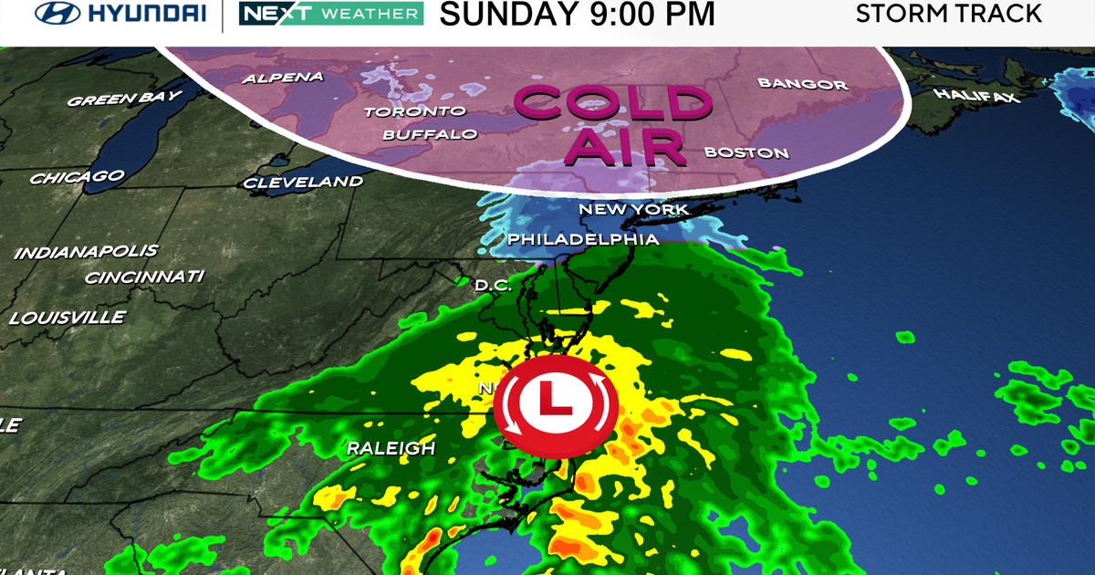
Ironically on this date back in 1979 Boston received it's largest snowfall in history during the month of October…1.1″…that will fall along with countless other records in the Northeast and Mid-Atlantic from this early season Nor'easter. We are witnessing a truly incredible event, an unprecedented event one that will cause major tree damage and the power outages will be in the hundreds of thousands. We have already seen the cold winning out with this storm as the wind has already backed in Boston to the N and the temps has gone from the 40s to the mid 30s in just a few hours this should continue to fall through the night as the low center gets closer and stronger and ageostrophic flow wins out. Thus while most outside of 495 has seen snow rates of 1-3″ per hour the worst for the Boston Metro area won't occur until overnight when the upper level low cuts off off right over us. Additional thundersnow will be possible during that time and most of Logan's
accumulation will be picked up between 2-6AM. Amounts along the coast are still hard and there will likely be a sharp gradient west of the city…with most falling in the 6+" zone. Incredible snows are occurring through Central and Western Mass where some spots already have over a foot…20″ is not out of the question. Northwest winds in the wake of the upper level 500mb feature will start bringing in dry air around dawn and the snow will taper off very quickly tomorrow morning.
After midnight when the low is sliding by close to Nantucket…the wind will be cranking and gusts could exceed 60 mph on the Cape. The strongest wind will coincide with the heaviest snow creating near whiteout conditions in Boston for a time. It will also complicate the power outage situation. For most, 3″ of heavy wet snow and a little wind has been enough to knock out power…my fear is that the power outages overnight will start collapsing toward Boston…and frankly it's hard to argue against it…especially when that wind picks up later tonight.
Lastly, our next high tide after midnight while it is a little lower than the exceptional tides over the last few days, will still be problem maker. All guidance is point to a minor to moderate coastal flooding event with a 2-3 foot storm surge. Thus, some problems , yes, but major ones at this time don't look plausible.
So again, the worst for Central and Eastern MA is ongoing but the worst for Eastern MA hasn't arrived yet…2-6AM…heavy snow, damaging wind and power outages. Good luck tonight!
