Winter's Last Gasp
Hard to believe after the record warmth of yesterday we are now talking snow...but that is no real surprise is it? These kind of quick changes are very typical for New England. Cold air is once again on the move tonight. A front pushed through last night which brough a cooler Friday with highs in the lwr-mid 40's. Now another wave of low pressure is pushing through tonight which will be followed with another shot of colder air for Saturday. After that....? Well, let's just say Spring has sprung!
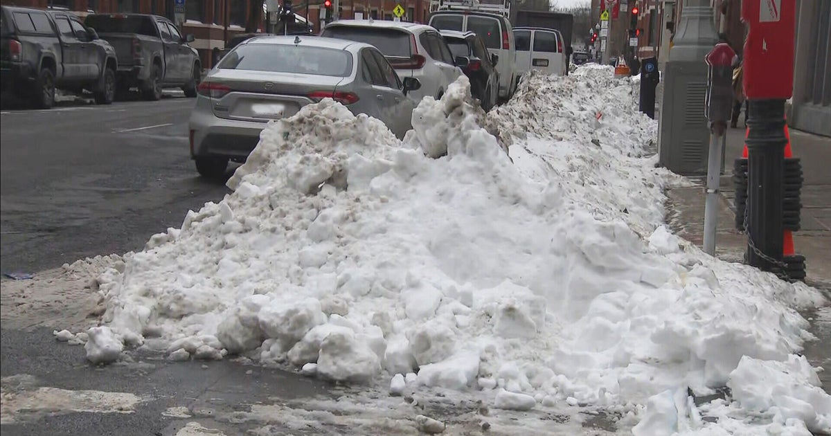
On to the details...an upper level short wave is cruising through tonight bring very cold air aloft which is making for steepening lapse rates and a very unstable environment. A pattern more typical for summer time with your garden-variety shower activity, that is what our radar looks like this evening. instability scattered snow showers are tracking from west to east. The batches of snow showers are very spotty and light so this will keep accumulations down. As the low tracks through tonight is should keep the heaviest snow across SVT, SNH and N. MA. Though snow will start off light, heavier bands may try to develop overnight into the early morning Saturday. As the wave of low pressure pulls off the coast, a NorLun trof may try to develop as cool NNE winds over the warmer water may enhance some banding of snow from SE NH to NE MA. These areas have the best chance of 1-3" of snowfall accumulating by Sat AM. The rest of us is a coating to an 1" more likely with higher amounts likely at the coast with a few lingering bands right through Saturday morning. Lingering ocean effect snow showers may linger on the Cape into the afternoon. Brighter skies will be found inland with a cooler feel. Highs will only be in the 30's Saturday with skies becoming partly sunny by afternoon.
A deck of clouds will move in Saturday night along with a warm front...but this will quickly push through. Sunday will feature mostly sunny skies with warming SW winds. High temps will rebound into the 50's. The upper level ridge along the east coast will hold with SW winds right into Monday and Tuesday with highs in the mid-60's...the return of that lovely spring feel. A cold front Tuesday will bring clouds and a shower. Clouds will linger into the midweek with another surge of warmth Thursday. Before another brief cool down and another surge of warmth by the week there after. The Climate Prediction Center has our 8-14 day outlook very warm. By the the 19th we will likely have temps in the 70's! This March has a very warm looking signal for the next two weeks. It makes me say this winter is toast! The fat lady has sung! We have turned the page! Enter any cliché you wish.
Looking forward to those later sunsets already! Sunday Sunset: 6:47 PM Daylight Savings Begins.


