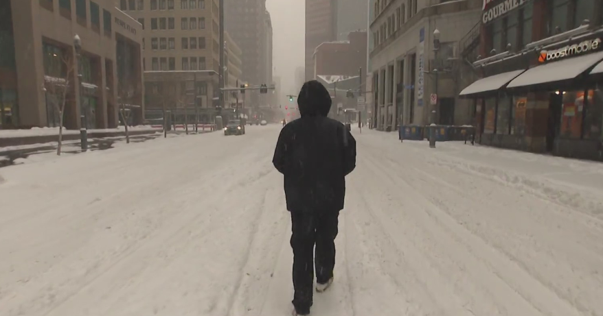
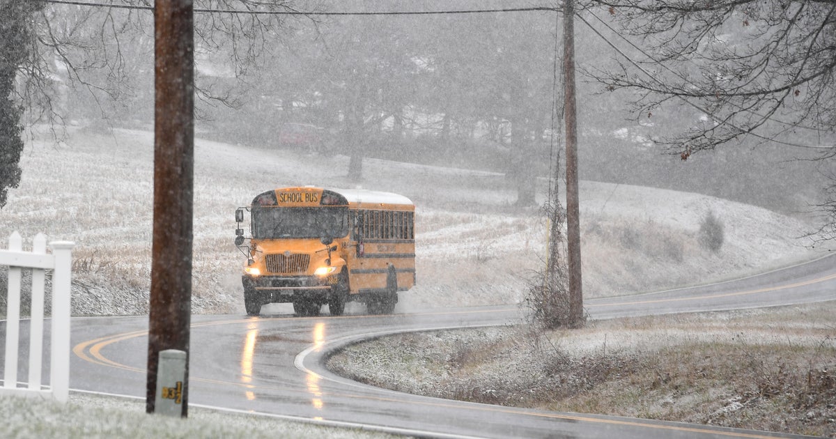
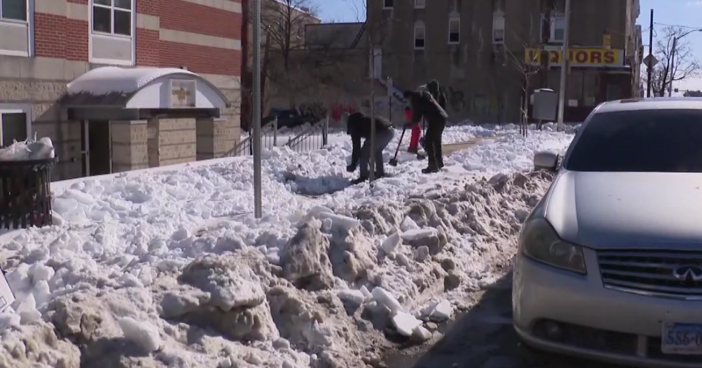
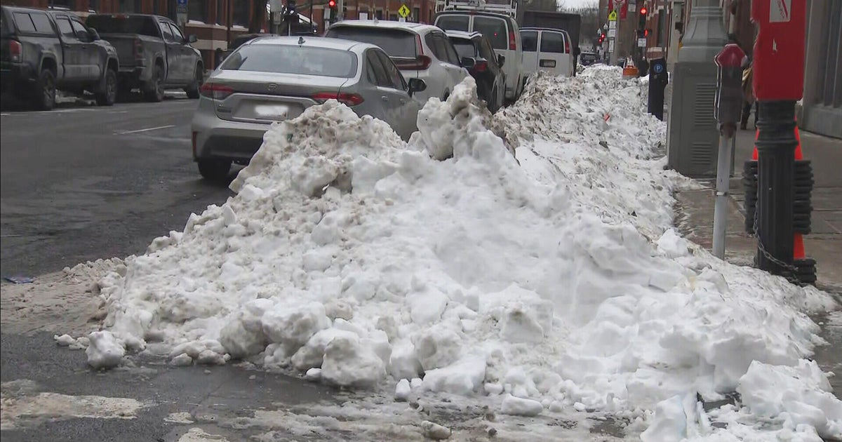
Winter Returns...
50s, thunderstorms and hail today...30s, snow and sleet tomorrow...gotta love New England. Showers gave way to sunshine this afternoon as gusty NW winds on the backside of a departing low brought in drier air. The sky is still clear this evening and we will have an opportunity to cool into the 30s later tonight before our next storm system arrives. The storm is currently in the Midwest and is strung out...it will arrive for us in pieces...one early and the other late tomorrow. The concern with the first wave of moisture tomorrow morning is the potential for snow and the fact that it will be falling during the morning commute. This has been a huge dilemma over the last couple of days as the air proceeding this storm is so warm and there really isn't any cold air near us to support colder, snowier model solutions. In fact, this storm will have to manufacture its own cold by drawing it down from thousands of feet in the air in heavier precip bursts and by evaporation at the onset of precip (a cooling mechanism). Even with that, temps will struggle to get down to 32 and I really don't see many in Eastern MA getting there so even with snow falling it will have a very tough time accumulating on roads and accumulations will primarily be seen on the grass, cartops and decks with roads staying mainly wet. It will be a slightly different story as you get out beyond 128 closer to 495 where the air will be slightly colder and some less traveled roads may get a bit snow covered. Beyond 495, 1-3" of snow is likely especially in the hills this will certainly make for some tricky travel. Getting much more than 3" seems to be a stretch as the only way this first wave will be able to manufacture moisture is from warm air advection, and good positioning from the 300mb jet but at 500mb there isn't much. So I can't see more than .4" liquid from the first batch and ratios will be less than 10:1...3" seems like the high end from first wave.
We will get a break in the action midday as with the warm air advection lift fading so clouds and drizzly conditions for several hours. But in the evening the second piece will arrive and this has more mid level support that will spin up an area of low pressure over SE Mass that will focus heavier precip over us...by then the atmosphere will have warmed just enough so that all precip will be rain except in Northern New England and that, along with good upslope conditions through Saturday will result in most of the mountain snow...6+"!


