Major Nor'Easter To Dump More Snow On Southern New England
October 28, 2011
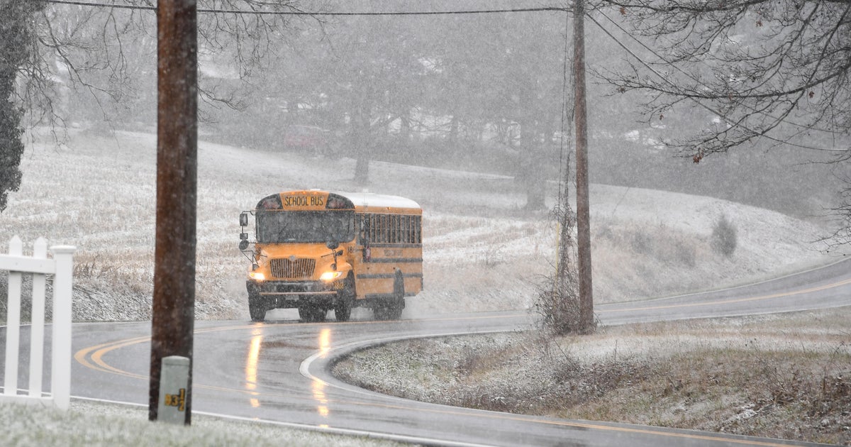
BOSTON (CBS) - A major nor'easter is about to pound southern New England with heavy rain, snow and wind.
Check: Latest Blog Updates
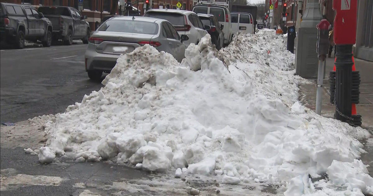
In more than 100 years of record keeping in Boston the most snow the city has ever seen in the month of October is 1.1 inches, six years ago on October 29, 2005.
Check: Current Conditions | Weather Map Center | Interactive Radar
This storm is almost certain to be one for the record books in all of southern New England.
Check: WBZ-TV Forecast Maps
TIMELINE
The precipitation will begin Saturday afternoon between 3 and 5 p.m., as mainly rain for all of eastern Massachusetts, a mix in higher elevations to the west.
The intensity of the precipitation will increase rapidly over the next several hours and the rain-snow line will collapse to the south and east as colder air is drawn into the deepening storm on shifting winds to the north.
By midnight, it will be snowing just about everywhere with the exception of southeastern Mass. where it will continue to rain very heavily.
The rain-snow line will collapse further southeast to around the Cape Cod Canal in the pre-dawn hours of Sunday morning before the storm system pulls away and the precipitation shuts off just after dawn.
SNOW
In October, there are many factors working against big accumulating snowfall including a very warm Atlantic Ocean and an unfrozen, mild ground surface.
This storm will be so intense it should be able to overcome these typical October atmospheric issues and draw down very cold air from aloft.
The highest snow totals will be in the higher elevated areas including Worcester County, southwestern New Hampshire, the Berkshires and many of the mountains of central and northern New England.
These areas, above 1,000 feet in elevation could easily see 6-to-10 inches of snowfall from this event.
Areas closer to Interstate 495 would likely fall in the 3-to-6 inch range and closer to the coast including the city of Boston 1-to-3 inches.
These totals could shift based upon the timing of the rain-snow change, if it occurs faster in eastern Massachusetts the totals could go higher.
RAIN
Areas southeast of Boston and Providence will receive very heavy rainfall, many towns exceeding 2". This will result in urban and poor drainage flooding and cause many rivers and streams to rise near bankful.
WIND
Strong NE-N winds will batter the coastline, with gusts 25-to-50 mph.
Inland locations could see frequent gusts 25-to-35 mph.
This could pose a significant problem coupled with the heavy, wet snow and lots of foliage still on the trees.
Tree and limb damage is almost certain and numerous power outages are expected.
There will be a major leaf drop with this storm as well.
Most of southern New England will go from near peak foliage conditions to bare in the span of 12 hours.
COASTAL FLOODING
The storm is coming during a new moon phase and very high astronomical tides.
The good news is that the high tides times do not seem to line up with the brunt of the storm and northeast winds.
High tides are at 1:30 p.m. Saturday and 2 a.m. Sunday - the very beginning and tail end of the storm.
This will prevent what could have been a major coastal flooding event.
Minor coastal flooding is still likely during both high tide cycles for all of east coastal Massachusetts, Cape Cod and the Islands.
Watch Todd Gutner's Forecast:
This storm will be far reaching and will affect the entire East Coast.
Hartford, New York City, Philadelphia and even Baltimore and Washington, D.C. could see a mix and change to snow after a heavy dose of rainfall.
You can follow Terry Eliasen on Twitter at @TerryWBZ .
