Winter Is Back
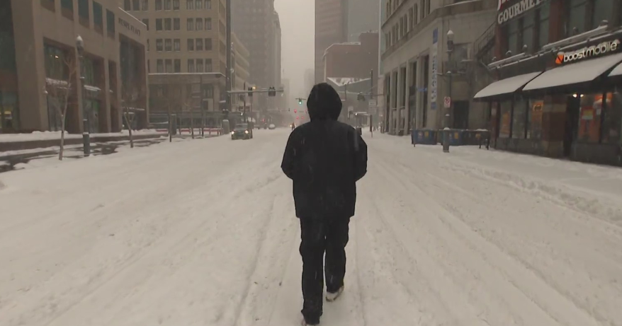
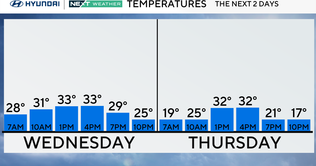
A general 3-5" blanketed the ground quickly on Wednesday morning, but some melting occurred yesterday afternoon. Consequently, below normal temperatures this morning will lend to icy spots this morning. Be extra cautious whil driving on untreated roadways, bridges, and overpasses. Also, walk slowly in parking lots and on sidewalks where ice may have formed.
A chilly start this morning will lead to a seasonable afternoon with high temperatures in the upper 30s northwest to lower 40s southeast. Clouds will begin filling-in this afternoon as another wave of low pressure treks toward the northeast.
Tonight will be partly cloudy far north and west to cloudy with a few snow showers for southern Plymouth and Bristol counties as well as Cape Cod and the Islands. A quick coating to 2" may fall for Cape Cod and the Islands between 12 midnight and 6am on Friday morning. Lows will be in the teens for nearly the entire viewing area. The exception will be some cities and towns in southern NH where temps may tumble into the single digits.
Friday will turn out to be sunny and colder with highs in the middle to upper 20s.
This weekend will remain quiet on the storm front. Saturday will be cloudiest north as a warm front will be situated near Northern New England. This front will produce snow showers for ski country. Highs will be in the lower to middle 40s on Satursday. Sunday will be partly cloudy to partly sunny with a slight chance of a few snowflakes during the morning hours along with a 'dry' cold front. Highs will be near 40F before taking a 'plunge'. So, the kick-off forecast for the Pats will be dry. However,temps will be falling, and the wind will be active.
The beginning of next week will mark the coldest air that we've felt so far this winter season. Highs will be in the 20s with the possibility a day or two only reaching the teens.
~Melissa :)

