Winding Down, On to the Next...
Well, considering how complicated cold air damming situations are I'm pretty happy with how everything is working out...although we were a little low on snow amounts. The storm is winding sown now and all the lingering lift is low level meaning so just light precip through late evening. The problem is that temps are still at or below freezing for much of Central & Western Mass along with Northern New England and light freezing rain and drizzle will persist for a few more hours. Ironically, the lighter the freezing rain the more it builds up...heavy freezing rain runs right off while drizzle lands, stays and sticks...so tree limbs and power lines may start to droop but widespread problems will not occur this time around.
There will NOT be a flash freeze tonight but temps across the area will be a tough call. First off Central & Western Mass along with Northern New England will pretty much stay at or below freezing the rest of the night and most of tomorrow. Eastern Mass, which is above freezing now and close to 40 will continue around that temp through midnight then NW winds begin advecting cold air into the region so temps will fall overnight...level off a little midday in the mid 30s then fall again later in the day into the lower 30s. This means the high for tomorrow will likely be just after midnight tonight.
As temps are falling tomorrow afternoon, the next little weather maker passes through. It's a piece of energy at 500mb that will produce a ribbon of moisture across the area. With temps in the mid 30s when it arrives rain should be present in Boston but as they fall that rain should transition to snow and coating will be possible during tomorrow evening's commute. There are some indications that an inverted type trough will set up north of Boston probably on the NH Coast and could enhance snow totals a bit to our north...say 1-2".
Thursday will be a nice, bright break with lots of sun but late in the day cirrus will be streaming in out ahead of our next storm. That is still expected to hit Friday morning and is still expected to deliver a plowable snow. Right now I'm still thinking a moderate snow (around 6") due to the lack of complete phasing and the speed / progressiveness of the system. While the upper level energy is potent it doesn't show signs of cutting off which again is why I'm sticking with a solid 6" thumping. Also, due to the position of the developing low, there is a chance that some rain works in over far SE Mass.
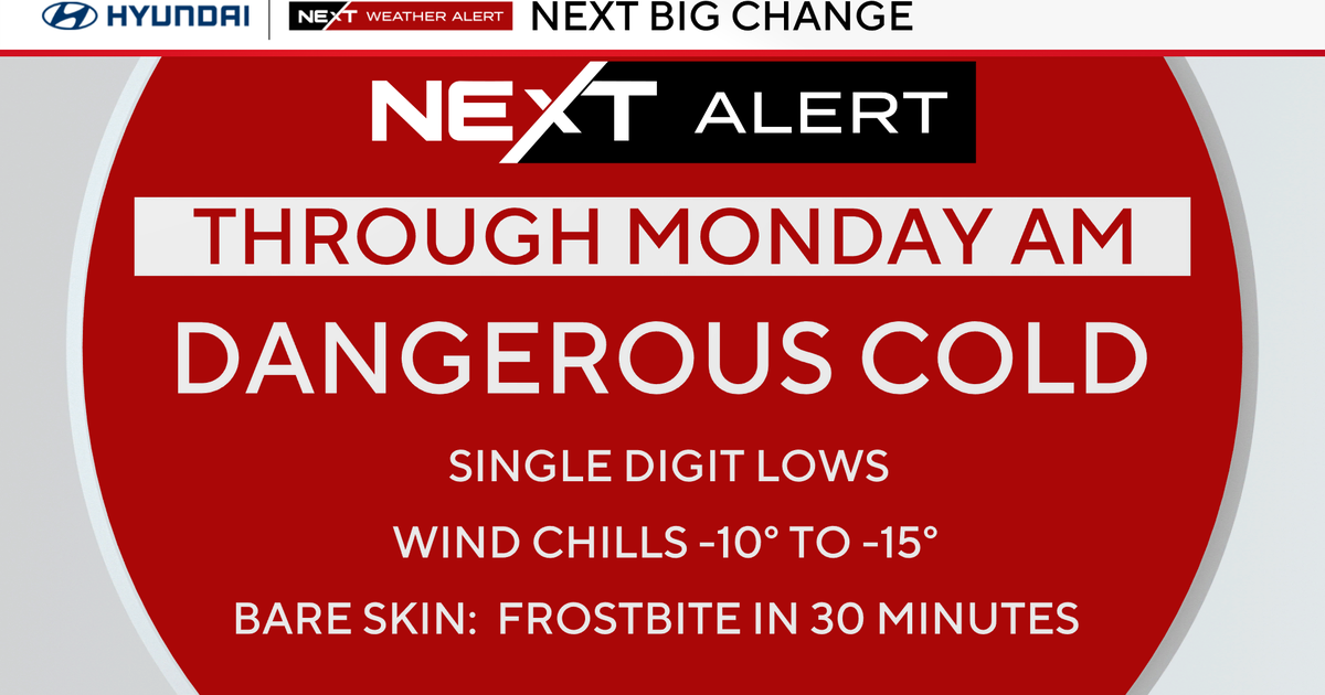
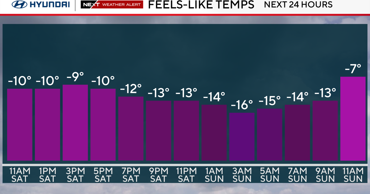
Unfortunately, a blast of arctic air is still in the cards following the Friday storm and will be hanging around for several days...yuck!
