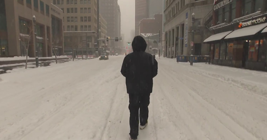
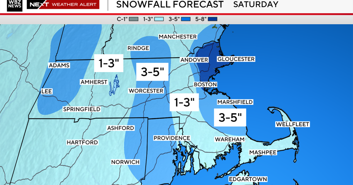
Will There Be Snow?
The 3-day warm stretch began yesterday, and today will be even milder.
Check: Current Conditions | Weather Map Center | Interactive Radar
Clouds will produce a few flurries this morning as a warm front travels northward.
Watch Melissa's forecast:
Skies will gradually become partly cloudy later this afternoon. Highs will reach the lower to middle 40s.
Weekend Forecast:
The warmest day will be on Saturday when some neighborhoods will rise to the 50F degree mark.
Other areas will come close as thermometers will be reading 45-50F all across southern New England.
Partly cloudy skies will accompany this unseasonably warm winter air.
Northern New England may see a few scattered snow showers as a moisture-starved cold front heads our way.
Sunday will be slightly cooler behind that cold front. The sun will be shining though as temperatures make a run for the lower 40s.
Next Week:
Next week is still hinting at above normal temperatures.
This leads me to believe that a moisture-laden low pressure system that affects us on Thursday will be in the form of rain.
However, the track will need to be watched closely.
This has the potential of producing snow for higher elevations inland as well as a rain-snow mix as the low exits the region late-day Thursday.
That being said, this is still 7 days away.
On another note, skiers and snow-lovers, later this month (around/after January 20), some long-range models are showing more numerous, short-lived cold spells that would be more conducive of snow.
I hope this can pacify you for the moment! :)
Happy FRRRiday!
Melissa :)


