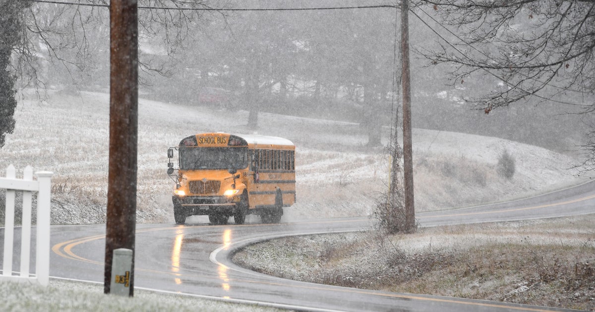
Where Is The Snow?
BOSTON (CBS) - Love it or hate it, you have to admit that a nice white blanket of snow does add a certain "feel" to the season. If nothing else, it sparks some emotion in an otherwise dark and dreary season.
Granted, if you are a daily commuter or a home owner, not all the emotions associated with snow are positive ones. I doubt many of you miss the stress of driving on white roads or shoveling back-breaking piles of snow at the end of the driveway.
But, driving up Routes 3 or 93 towards the mountains just isn't the same this time of year when the countryside is brown and gray rather than white.
Check: Interactive Radar | Weather Blog | Current Conditions | Share Photos
So, what's the deal? Where's the snow?
Back in November, all signs pointed towards a cold and snowy winter.
The monthly average temperatures were well below normal and several blasts of Arctic air had already started pouring south from Canada. Most of us woke up Thanksgiving morning to a sloppy, snowy mess, leaving many in New Hampshire without power for several days. And it was only November.
Download: CBS Boston Weather App
With an active storm track setting up for December, it seemed we were destined for an abundance of snow and holiday travel headaches.
The weather was anything but quiet as storm after storm brought an abundance of precipitation to New England.
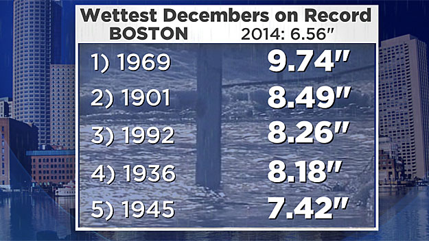
In fact, Boston finished just out of the top ten for all-time wettest Decembers with more than 6.5 inches of liquid.
Only one thing was missing - the bitter cold air.
Just about everything that fell from the sky last month was wet, not white.
WHY JUST RAIN?
Without any atmospheric blocking in the northern latitudes (something critical to getting cold and big snows in New England this time of year), most of the storms have been tracking to our west, drawing up mild air from the south.
Boston finished the month with just 0.3 of an inch of snow, nearly a full foot below the average.
The same story was present in Worcester (1.5 inches in December, the 8th lowest in recorded history), Hartford (9th least snowy), and all the major cities in southern New England.
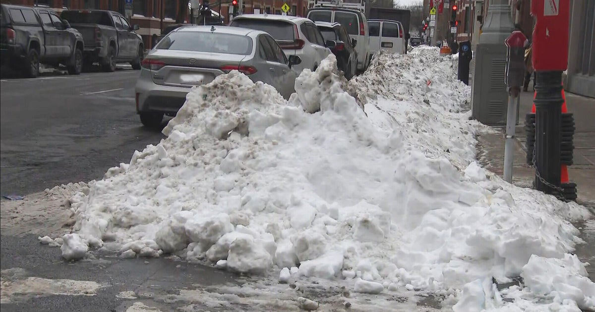
As we turn the page to January, the only solid snow cover in New England is up in the highest elevations and ski areas, where they have finally been able to make some snow.
The snow drought extends beyond New England.
Current snow depth maps of the United States shows a fairly large void of snow everywhere east of The Rockies.
Snowless cities as of January 1st include; Boston, New York, Philly, DC, Chicago, St. Louis, Detroit, and the list goes on and on.
WHAT CAN WE EXPECT?
So where do we go from here?
Looking strictly at statistics, there is some conflicting data:
- Years when Boston received more than 1 inch of snow in November almost always led to above average seasonal snowfall (Boston had 2.6 inches this Nov.)
But...
- Years when Boston received less than 1 inch of snow in December almost always led to below average seasonal snowfall (Boston had 0.3 inch this Dec.)
- There was only one other time in recorded history when both of these oddities occurred in the same season, way back in 1936. What followed that season, the least snowiest winter in 125 years of record keeping! Just 9.0 inches fell for the entire season!
We are certainly NOT predicting that to happen again this season, but it does make you wonder.
January is typically our coldest and snowiest month of the year, averaging nearly 15 inches of snowfall. Looking back at just the last five Januarys we have seen quite a range of snow totals - from 21.8 inches last year to just 5 inches in 2013 before to a whopping 38.3 inches back in 2011.
One or two storms taking just the right (or wrong) track can mean all the difference between a thumping of snow or nearly nothing.
THE COLD IS BACK
As of this writing, snow lovers have one thing going for them, the cold is back.
Canada is back open for business and it appears our temperatures will be well below average for at least the next two weeks.
The big question, will there be any snow to go with it?
Right now it appears the snow will be minimal for the first half of the month.
Our first storm in 2015, coming Saturday night and Sunday, will once again take a track to our west. Even though it will be cold enough to start as snow, inevitably all of southern New England is destined to change to rain by Sunday morning after just a few inches of snow.
Another blast of Arctic air will follow for next week, but at this time it looks mainly dry.
We certainly aren't ready to call for a below average snow season just yet, but if we get deep into January without any major snow events, time will start to run out on the 2014-2015 season.
So stay tuned.
We are monitoring several factors in the coming weeks including an oncoming El Nino and a warm pool of water which has existed south of Alaska for several months now which will continue to have large scale effects on the jet stream and weather patterns across the United States.
Winter can come on in a hurry, but then again, so can spring!
Follow Terry on Twitter @TerryWBZ
MORE LOCAL NEWS FROM CBS BOSTON
