What a Day!
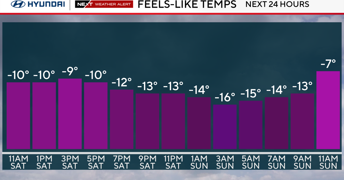
Another gem of a day in the middle of Winter...this is becoming old hat! Many towns touched 60 and joined the 60 degree club, Boston just missed it with a high of 59 making today the second warmest day of the Winter behind the 60 back on January 7th. This will be the last time we see balmy temps for a while...a coldfront is marching through and winds will swing into the north tomorrow tapping colder air for the end of the week and over the weekend. Temperatures will be in the lower 40s tomorrow and then slip into the 30s Friday through Sunday...an extended stretch of cold for a change.
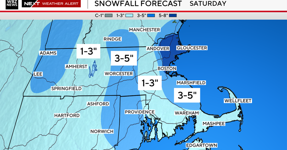
With the cold settling in we then obviously look snow chances and there will be a couple but right now it looks like the storm track will be just south of New England and through the Mid-Atlantic instead. In fact there could be a coating of snow around the Nation's Capitol tomorrow morning. The bigger threat looks to be over the weekend but despite a moisture loaded system coming out of the Southern Plains and heading toward the Northeast the phasing with the northern shortwave appears to happen too late. Thus, the storm either stalls to our west or misses us to the south...either way it looks storm-free and snow-free through he upcoming weekend.


