Wet Weather on the Way...
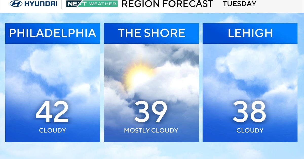
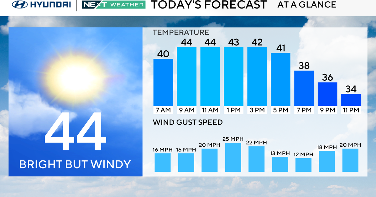
After several beautiful days in a row, clouds are rolling in now and we will enter an unsettled stretch this week. Low pressure in the Ohio Valley is evolving and migrating our way...this will be a slow evolution and migration. The final track of the low will pass just to our west and north on Wednesday. Most of the overrunning rain will stay to our north and west along a surface and midlevel warmfront but a few brief showers or sprinkles will be possible late tonight and tomorrow. With that said, most of the time while we won't be clear or sunny, we will be rain-free.
Wednesday and Thursday will end up being the most wet. Wednesday, early in the afternoon, a coldfront will work in from the west with showers and potential downpours and thunderstorms. The surface low will slow down and strengthen over the State of Maine as the upper level support cuts-off over Northern New England this will mean cold, raw conditions on Thursday as wrap around moisture makes it down from the north...highs that day will be in the mid 50s too.
Not only is this week going to be unsettled but so might the rest of the month. The NAO is in the process of going negative and persistent troughiness will be hanging over the Northeast and SE Canada...this means cooler than average temps and wetter than average conditions. With many already frustrated by our slow start to Spring...it's looking like May will only continue to disappoint.
