Wet then Warm...
An area of low pressure will swing up the Appalachians then into Canada...traveling to our west then north...keeping us on the warmer side of the storm assuring us of a warm rain and some very warm, briefly, air! Temps tonight will actually stay steady then rise late sa southerly winds begin to pick up with a warmfrontal passage around dawn. This warmfront will have some good forcing with it and an unstable atmosphere will lead to some heavy rain and downpours which could include a rumble of thunder as the lifted index gets down to around zero and elevated and a little surface based CAPE pools out ahead of the surface front and underneath a potent vort max / shortwave. The lift will wane after noon and behind the front when gusty SW winds bring in drier air that will provide some intervals of sunshine. The air will still be temporarily warm and highs should reach the mid 60s! A secondary front will slip through on Thursday and temps will be tumbling thereafter from 50s to lower 40s on Friday. Of note is a fast moving shortwave late Thursday night and Friday morning that will try to induce a small surface low to our south...the current path would take it to far south of us to worry about but any jaunt to the north may lead to some snow showers around the area early Friday morning.
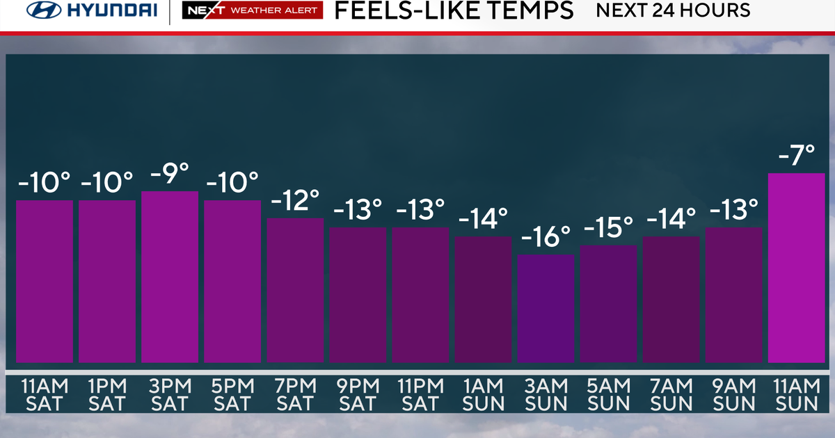
Temps will moderate a little on Saturday as a surface low travels north of us it will succeed in getting a dry coldfront through here later on Saturday leading to the coldest air of the season on Sunday. Despite the cold, it will be a relatively quiet weekend with...both days will be storm free.


