Wet Start to Weekend...With A Dry Finish
Now with no longer any talk of earthquakes we can finally focus on the weather again. Clear and cool conditions again Thursday morning with clear skies, light winds and low humidity. High pressure is parked off the coast today providing abundant sunshine, sparkling blue skies and a very pleasant fall feel. Light winds from the SE will keep it slightly cooler at the coast this afternoon as most areas will climb to 60-65. A beautiful seasonal airmass for this time of year.
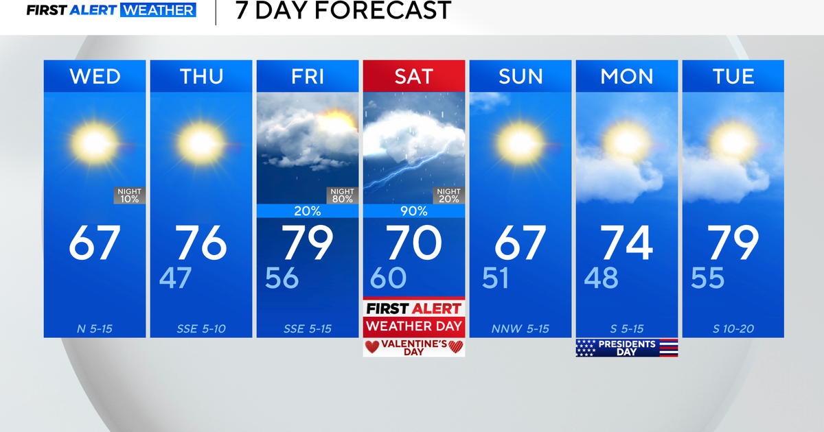
Low clouds begin to back into SNE this evening, especially overnight. Light SSE winds will keep temps in the lwr 50's. Showers will begin to spread toward the south coast and near the CT valley by dawn tomorrow along with an approaching warm front.. A large slow moving cutoff low back towards the Great Lakes will be shifting a cold front to New England Friday. Showers will be overspreading the region Friday morning. Rain will become heavy at times by the afternoon into the early evening with brief scattered downpours and the possibility of some embedded thunder in any elevated convection. Hard to say if any strong winds will be able to mix all the way to the ground with this rain, but it will be a breezy SSE wind in place ahead of this front. Rainfall will range from .50-1.5" of rain through Saturday morning. There could be some heavier amounts in western New England closing in close to 2", with lighter amounts right at the coast.
The front will be stalled right off the coast Saturday morning. Lingering showers will ride up along this front during the morning hours keeping eastern MA wet during for the first half of the day. By afternoon, the front should be able to kick far enough off the coast, as the upper low starts to lift away with mild SW winds following in behind the front. Temps will feel balmy and humid by afternoon across the south with the chance of some late breaking sun. Highs will be in the upper 60's and lwr 70's.
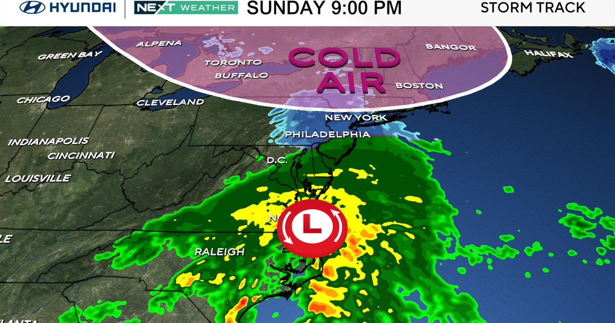
By Sunday morning, the upper low will be just over the Canadian border with much cooler air moving in aloft which will help to keep the atmosphere a bit unstable. Dry cooler breezy NW will be in place. Sunday will be the brighter and the cooler of the two weekend days. Morning sunshine will fade behind increasing diurnal cloudiness with the risk of a spot shower or two across the north. Generally, a breezy mix of clouds and sunshine by the afternoon with highs around 60-62.
Breezy NW winds remain into Monday with a more typical fall airmass in place with building high pressure from the west. Plenty of sunshine to start off the work week with highs in the Lwr mid 60's. Cooler air aloft will remain on Monday with a trough still over New England so I would expect partly sunny skies by afternoon.
An upper level ridge builds in for the start of the work week, with warming temps. In fact, the Climate Prediction Center has the next 6-10 days averaging above normal along the east coast. But we will have to watch a backdoor cold front Tuesday and Wednesday. It is hard to tell this far out if it will move through as a cold front bringing cooler air for the midweek, or a warm front bringing more warmth for the midweek. There will be a low risk of showers with the passage of this front. So despite milder weather next week across the east, cooler air begins to invade the nation as a whole for the last week of October. I expect colder air to be the rule across the northern states by Halloween and heading into November.
