Welcome Relief Will Come With A Cost
I admit it...I love summer weather. I love everything about the season. While the past heat wave was a bit too hot at times, it was the kind of pattern you want for summer enjoyment at the lakes, beaches and pools. Activities you cannot do any other time of the year. A ridge off the east coast, with a Bermuda high supplying warm west winds. In a typical summer, this kind of pattern can remain in place for several weeks, supplying sunshine for days and warm to hot temps. But this summer is not your typical summer. It has been a struggle to find consistent good weather everyone can agree on. June was very hit or miss with rain off and on through the month giving us one of the wettest June's on record. Since the end of June now into much of July, we have had our share of heat with 12 days at or above 90 in Boston. But through it all, the ridge off the east coast has not yet been able to really establish itself and anchor. And so we find ourselves once again in transition.
Welcome relief for all of us today, as the 7-day heat wave is gone. The high heat and humidity have taken a break. A cold front remains stalled off the south coast where clouds and periodic shower, downpours and T'storms have been tracking from coastal RI to Buzzards Bay to the Cape & Island during the morning. I expected a better afternoon. The rest of the region has been great with sunshine and high to mid level clouds streaming in from west to east. Weak high pressure building in from Canada is helping to steer in a light NNE wind in behind the front which is making for temp in the 70's at the coast and Lwr-mid 80's further inland. Quite a change in the air mass compared to what we have been through!
This front will remain stalled off the coast tonight through Monday, helping to keep a few more clouds along the south coast. Light onshore winds will remain in place Monday to keep it cooler 70's at the coast with lwr 80's inland with partly sunny skies. Weak high pressure sitting across the north country will begin to pull away, and from here our weather will become more unsettled.
While a broad trough that is pushing into the Northeast is helping to break down the heat ridge and bring an end to the heat wave, this same trough will begin to dig deeper into the eastern states of the US and become an important player in the over all weather pattern for the next week at least. SW flow aloft up the coast will steer in a humid flow up the east coast. A boundary will develop between the cooler air in place over the Great Lakes from the warmer humid air streaming up the coast. This will create quite a persistent cloudy unsettled pattern for the week ahead which could last into next week and beyond as it appears the trough will not be leaving the Northeast any time soon, until maybe August for a time.
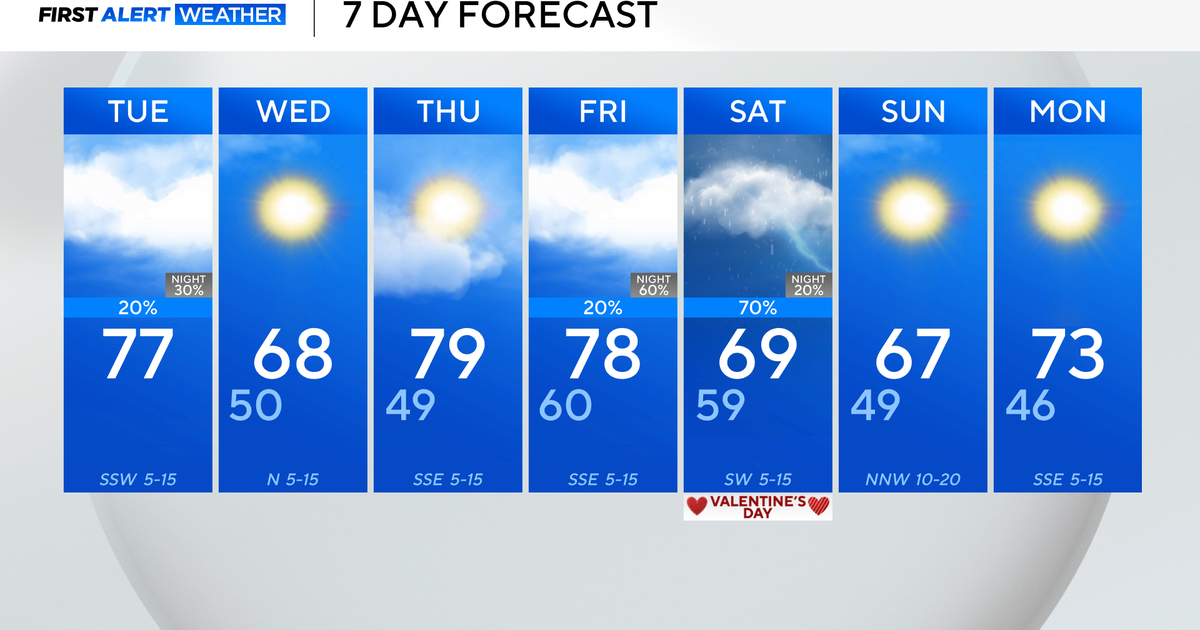
A warm front will approach Tuesday with clouds and eventual showers or a few storms by afternoon. Temps will remain cooler with onshore winds on the cooler side of the warm front. The cold front will start to push though on Wednesday where it will stall off the coast thanks to the SW flow aloft.
A wave of low pressure will develop on the stalled front and ride up into New England for periodic showers and storms for the middle to end of the week. Temps will be cooler 70's to near 80 with clouds and onshore winds, so t'storms not as likely, but tropical moisture with any breaks of sun will be enough to fire off some convection. Some weak ridging may try to build in for the weekend, which would allow for better warmer weather, but it will only be part of the trough re-asserting itself to return stronger with a bigger upper low moving into the next week with a few more showers.
So moral of the story, be careful what you wish for. The trough is back! It is bringing the kind of pattern that was in place during June. So far, no signs of any tropical systems in play, but it will only be a matter of time before we get some tropical rains steered into thanks to this trough in the northeast.
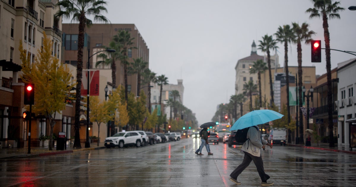
Cloudy, cooler unsettled weather ahead for at least the next week or two. We have seen the hottest this summer has to offer. Now it is time to catch some much needed raindrops, cool off and hope we can find a few more "normal" pleasant summer days before they are all gone!
