Wednesday Storm Could 'Pack A Pretty Good Punch'
BOSTON (CBS) – Another storm will be making a run at New England Wednesday, according to WBZ-TV meteorologist Joe Joyce.
Check: Current Conditions | Weather Maps | Interactive Radar
This developing coastal nor'easter is going to mean a widespread rain and wind event for the region, with even some heavy snow to be found in the mountains of Vermont.
"This storm won't be nearly as menacing or damaging as Sandy, but it may pack a pretty good punch," he wrote in his blog Saturday.
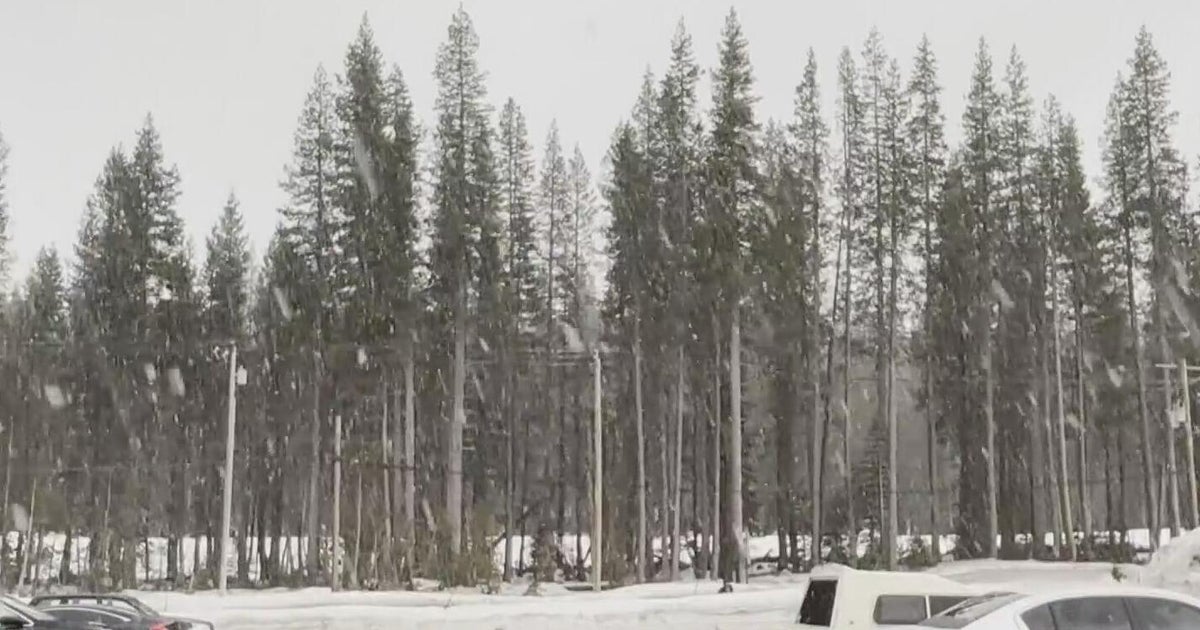
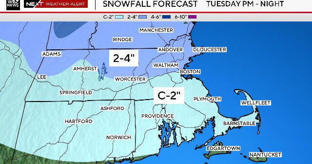
"Now, how cold we get Tuesday night and the timing of the precipitation onset Wednesday, in association with the favorable location of a high pressure center to our north may yield a snowy start to the storm for northern and western New England. In fact, some computer models generate several inches of snow!"
The main story for southern New England will certainly be the rain and wind.
Joyce says one-to-two plus inches of rain will be possible with gusty coastal winds above 40 miles per hour.
"With many of our beaches just recovering from Sandy, flooding and beach erosion may be a concern. Of course, this is still several days out, and a path along the benchmark that is currently advertised by our computer models could easily become a path several hundred miles out to sea."
You can follow Joe on Twitter at @JoeJoyceWBZ.
