Weather Gone Wild!
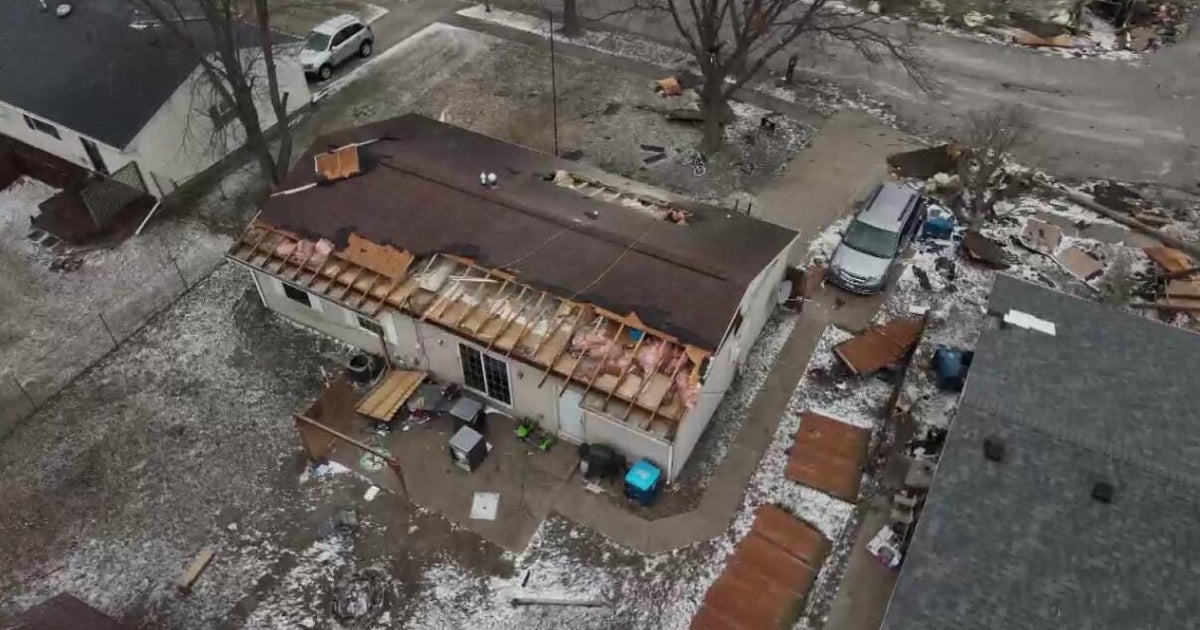
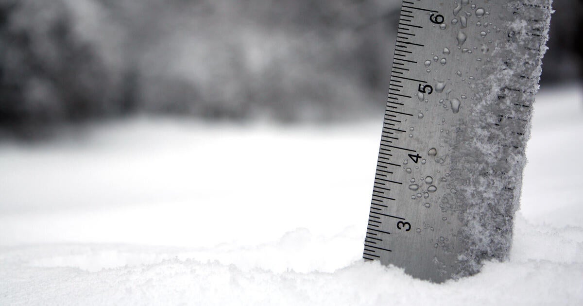
There are not many times when you get a blizzard, a Wedge tornado, and a Tropical storm all on the same weather map but that is what is happening tonight. Thanks to a large upper low sitting over the Northern plains, and Midwest, Severe Thunderstorms have given way to a small tornado outbreak in NE Nebraska today which have extended inot Iowa. Reports of 16 tornado touchdowns so far across the state with a well documented large Wedge tornado over a half mile wide. Numerous structures have been damages or destroyed from this tornado. Warm humid air surging into the Midwest is only part of the equation. For storms to form, you also need the cold air to lift the warm humid air. The cold air is shifting in on the backside of this upper low and creating blizzard conditions across South Dakota, Wyoming and parts of NW Nebraska. Some areas have seen 2-3 feet of snow and counting! Then, we have tropical storm Karen churning in the Gulf. This storm will struggle to get stronger with estimated winds to remain between 50-60 mph as it makes landfall later Saturday and Sunday along the Gulf States from Louisiana to the Panhandle of Florida. As Karen weakens inland, some of the rain will be drawn up the east coast and push through New England. Pretty cool stuff!
We have our own boundary and airmass issues over us this weekend. It is a steady stream of clouds shifting through New England tonight. Light cool NE winds will supply the cool dry air at the surface. Meanwhile, a stalled front remains south of New England. This is a boundary separating the cool air over us, from much warmer south of the Northeast. Clouds will remain in place on Saturday, but I expect clouds to break for some partial sunshine during the afternoon. Light NE winds will help to keep temps in the 60's, but any significant sun could spike temps back into the Lwr 70's. Saturday will likely be the best day of the weekend. Sunshine should be a bit brighter across the north country closer to some drier air away from the stalled front.
The front slowly pushes into New England Sunday with more clouds and the risk for scattered showers.. Cool east winds should keep temps in the lwr-mid 60's with the clouds. By Monday, the warm front will have pushed through. Breezy Southerly winds will direct a warmer more humid airmass into New England, low clouds will break fro some sun and temps back into the mid 70's with an upper level ridge in place across the eastern seaboard.
As a powerful upper low barrels across the Midwest and eventually into the Great Lakes, more severe weather is likely this weekend out ahead of it as it tracks east. The remnants of TS Karen will be dawn up the east coast and merge with a cold front which will push through on Tuesday with some beneficial rainfall. No flooding expected as the pattern will remain progressive enough. Cooler drier air to follow for the end of the week. A big upper level ridge will develop with a much better outlook for next weekend with sunshine and moderating temps.
