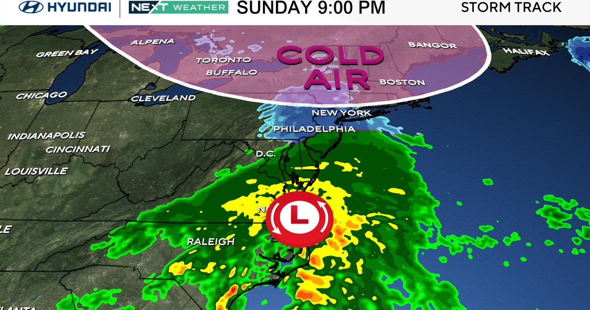
Forecast maps show when heavy rain will fall in Massachusetts Thursday
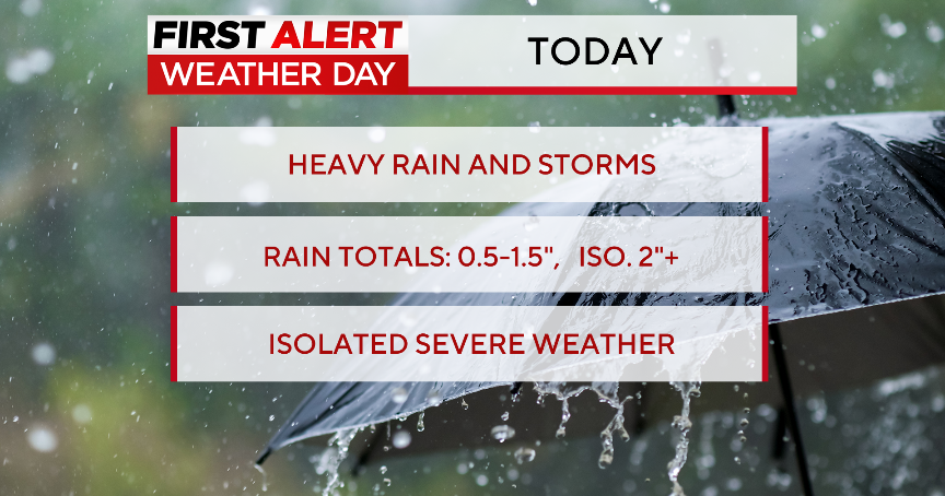
BOSTON - The WBZ Weather Team has issued a NEXT Weather Alert for some periods of heavy rainfall coming to Massachusetts on Thursday.
While the Cape and Islands got a deluge over the weekend, most inland areas did not receive nearly as much rainfall. Given the remarkable dry stretch we experienced from late August through most of this month, Thursday's rain can be classified as largely beneficial.
Thursday rain timeline in Massachusetts
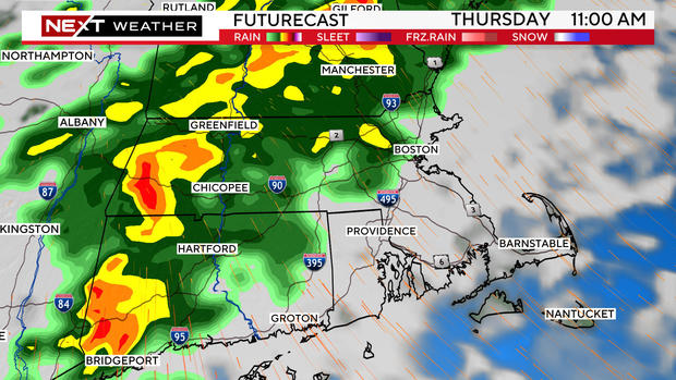
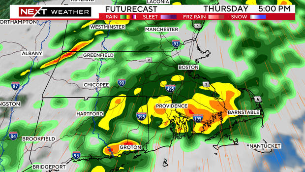
The first round of heavier rain is set to arrive around midday and continue through the afternoon.
Expect a very wet evening commute in the Boston area with areas of heavy rainfall and some street flooding.
There may even be a few rumbles of thunder.
Underneath some of the heavier storm cells, there could be some gusty winds as well.
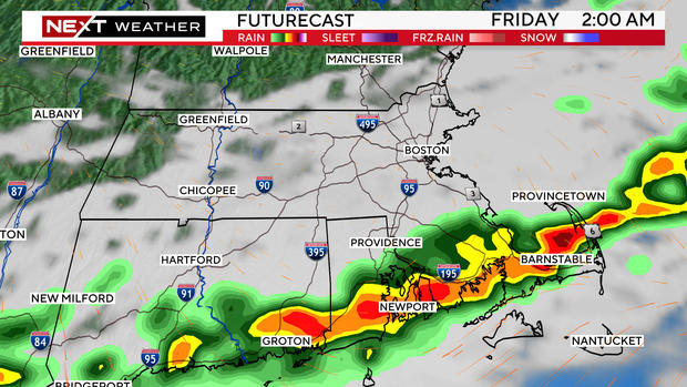
There will be one final line of downpours passing from north to south through the area Thursday night.
It is projected to be along the South Coast around or just after midnight with clearing for the region thereafter.
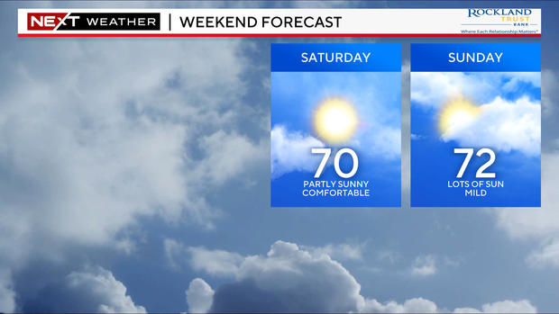
Weekend forecast looks brighter in Boston
Friday looks like a much nicer, drier day.
Rainfall totals will vary from place to place depending upon where the heaviest downpours occur. Highest amounts could reach between 1-2".
Great news for the upcoming weekend: Another area of high pressure will set up shop over the northeast, blocking any rainfall or storms from penetrating the region, including the remnants of Helene.
It looks like a great weekend for all fall things. Fall foliage is now approaching peak in many of the highest elevations in northern New England.
