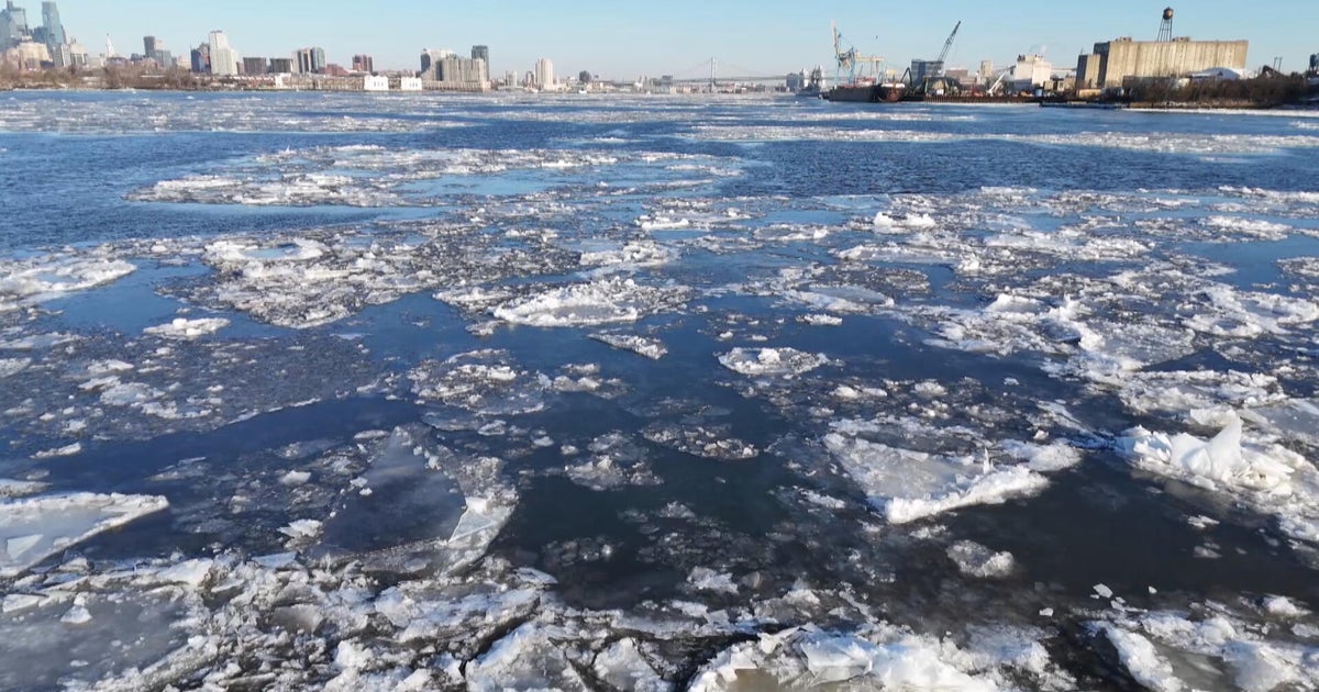
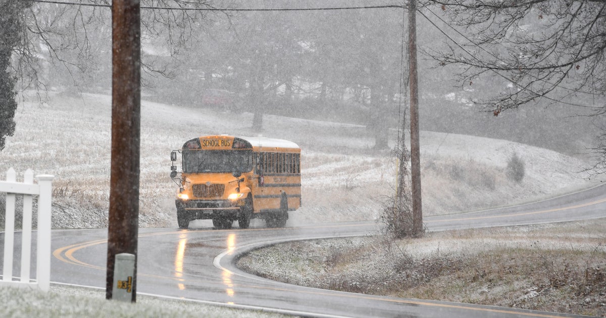
Weather Experts Predict Lots Of Snow This Winter
BOSTON (CBS) - WBZ recently spoke with Accuweather Meteorologist Joe Bastardi and Meteorologist Joe D'Aleo about their thoughts on the upcoming winter. Clearly, a lot of this winter will be driven by the current strong La Nina that is forecasted to strengthen even more as we approach December.
'MONSTER LA NINA'
Bastardi is calling this a "Monster La Nina." This will have a major influence on our winter nationwide.
This La Nina has developed quick enough that its impacts should already be in place by December.
Joe Bastardi says he thinks this winter will get off to a fast start. "This may be a great winter for New England ski areas and northeast ski areas of the United States."
WHEN THE WORST COLD WILL BE HERE
Both Bastardi & D'Aleo see December into early January having the worst of the cold. "La Ninas are characterized by a northern storm track with cold weather in the west and northern states and warmer weather in the south," explained Bastardi.
"We do anticipate that we will have above normal snow from Boston north, especially northern New England," added D'Aleo.
Even though winter will come on strong, it won't be cold the whole time.
JANUARY THAW
A January thaw is likely, and this thaw could continue into February. Warm temperatures in the southeastern states may sometimes be directed northeast. How this warmth interacts with the cold could lead to storm development and more mixed or ice events.
In the end, the warmth and the cool will likely balance each other out for slightly above temperatures south of Boston, and slightly below north of the city.
WATER WILL PLAY ROLE IN WINTER CONDITIONS
Sea surface temperatures and ocean currents will dictate how far north the southern ridge can build and what the eventual storm track will look like.
Sea Surface temperatures in the North Atlantic and North Pacific play a critical role as well.
Colder water in the North Atlantic promotes pressures rising over Greenland. This can become a blocking high, which causes the jetstream to buckle, directs cold air into the US, and supplies the cold into storms which may come up the coast.
When this occurs, it is called a negative North Atlantic Oscillation.
When the North Atlantic is in its negative mode, that is when we tend to see our worst cold and snowy patterns. This state should last through December, but any change in this pattern could have drastic impacts, meaning less snow and more warmth as the winter moves on.
HOW MUCH SNOW CAN WE EXPECT?
The winter of 2007-08 had a similar set up to what we have now, and that provided an all-time record snowfall to northern New England: 100 inches in Concord, NH; 103 inches in Burlington, VT; 129 inches in Penacook, NH; 69 inches in Worcester and 51 inches in Boston.
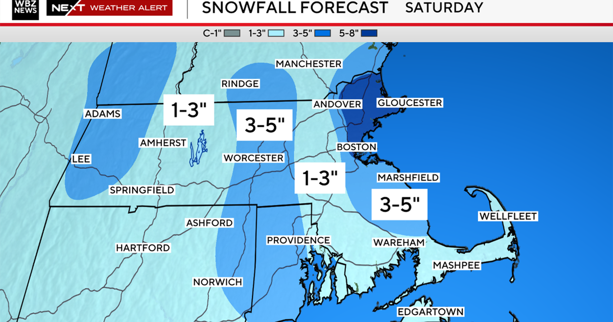
If we use this year as a guideline, and the winter goes as the experts believe, there could be above normal snowfall over 60-80 inches inland, with amounts dropping off to 40-50 toward the coast and 20 inches or less near the Cape.
The heaviest Snowfall is likely in northern New England with many ski areas seeing over 200 inches of snow – a typical New England winter.
