Drier to start the week after a weekend of wild weather
BOSTON - The talk going into today was about the possibility of flash flooding and the low risk for a tornado. Mother Nature delivered on both fronts.
First, let's talk rain.
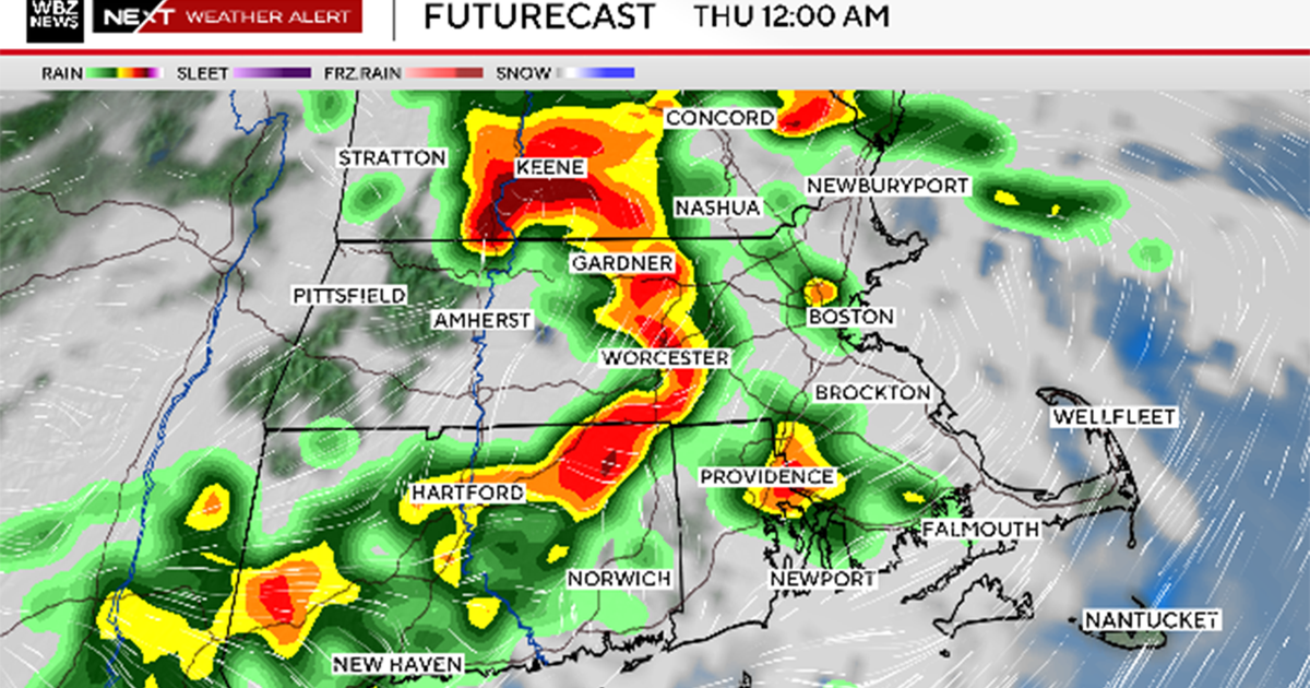
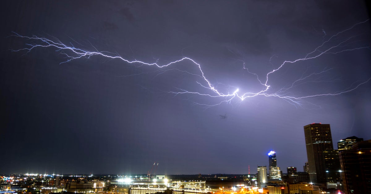
I don't need to reiterate how wet it's been over the last few weeks. The ground has been so wet that even a garden-variety shower could be enough to cause flooding. Add in deep-convective, training thunderstorms, and it's a recipe for a disaster.
Most areas in Worcester and Middlesex County picked up between 1-3", which at a fast enough rain rate, was enough to flood roads and strand cars. Multiple roads in Fitchburg, for instance, were left in shambles after rushing water buckled the asphalt.
For a list of rainfall totals across Massachusetts, click here.
July 2023 is now the 4th wettest July in Worcester history, picking up an unofficial 1.42" today.
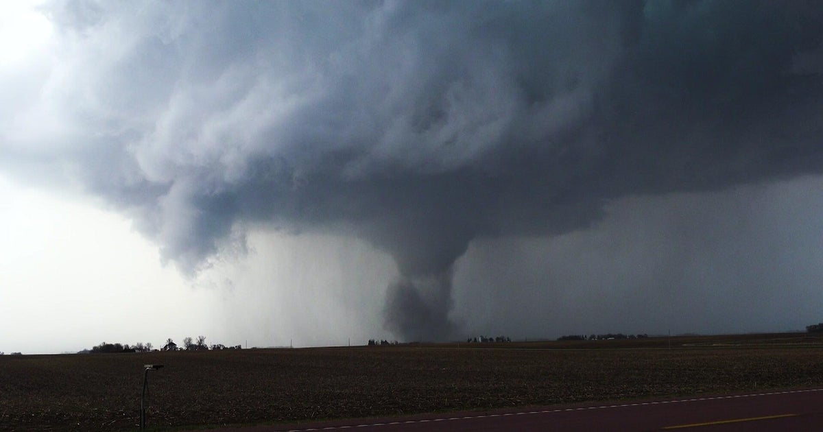
Massachusetts also picked up its first tornado in 682 days, when an EF-0 tornado touched down in North Brookfield just before 11am. According to the National Weather Service office out of Norton, the tornado was on the ground for a non-continuous 2 miles path, had a width of about 250 yards, and maximum wind speed of about 80 mph.
The tornado knocked down a few trees and powerlines, causing some to lose power.
The last time Massachusetts was hit by a tornado was September 2, 2021, courtesy of the remnants of Hurricane Ida. That tornado hit Dennis, and was an EF-0 twister.
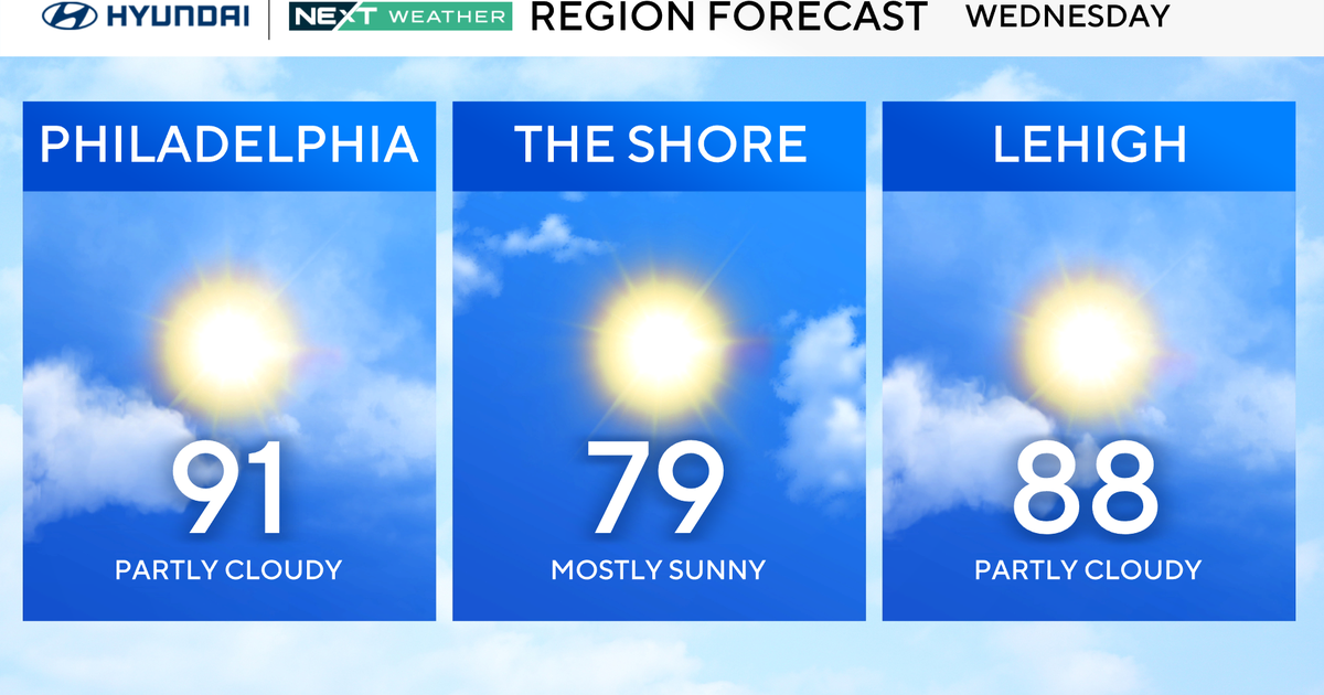
Fortunately, looking ahead, there is drier weather in store as we start the work week. Sunshine and near 90 for areas inland will certainly help any clean-up efforts.


