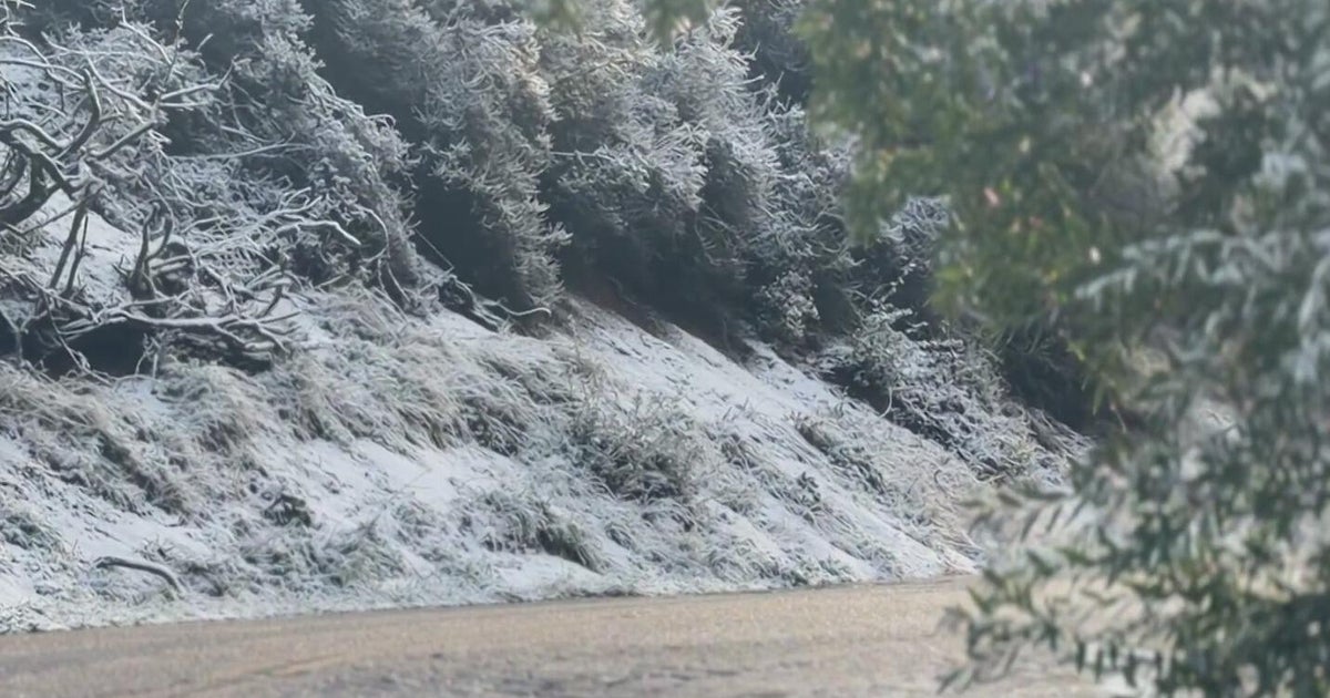
Watching Snow Potential Tuesday-Wednesday....Questions Remain.
I think we are clear enough on the weekend that we can start to look forward a bit. We know it is going to get colder, with breezy winds and sunshine. Of course I will have plenty of updates during the weekend on our weather. But right now, I would like to focus a bit more on this enigma of weather heading our way for Tuesday & Wednesday.
The models are gradually starting to get a better handle on the pattern, but there is still a long way to go and the forecast will continue to evolve in the coming days. Most models are showing a wave of low pressure coming out of the southern Gulf states and tracking south of New England now. This is one area where the forecast will be highly dependent upon how close to the coast will this track. Most of the models are now taking this low off the mid-Atlantic coast line, where it will strengthen and track well south of the bench mark. This is a definite trend in the models towards the Euro, which has had the flattest and weakest flow of the bunch. In essence, the Euro is showing a non-event, which would make this blog a whole lot of talk about nothing. That would be unfortunate :)
Meanwhile, The 12 Z GFS had a more robust low tracking along our south coast Tuesday night. Now the latest run, the less trustworthy 18 Z, has a weaker wave, but still the potential for several inches of snow in SNE into Wednesday. The US GFS still has a few loyal allies like the UKMET, Canadian, Japanese with similar looks and potential with accumulating snow potential in central and southern New England with more of a wet mix right at the coast...especially in SE MA. It is way to early for any sort of accumulation projection, as changes will continue to come. Who knows, we may end up with the flat non event of the Euro model.
At this point, it is hard deny the energy which will be pouring into the trough and riding along this air mass boundary through the mid-Atlantic and south of New England. Cold air will be in advance of the low and in place during the low's passage thanks to high pressure to our north. The 850 Zero line will not able to push very far north. This should help to increase our snow chances if this low passes close enough to us. If it all comes together, there is the potential for accumulating snowfall, especially away from the coast where there will likely be more of a wet mix keeping accumulations down. But again...this can all change so easily.
What to take away from this? Temperatures are cooling this weekend. We will be on the cooler side of a low which will likely track south of us. We will likely be clipped by it's northern fringe. Heaviest precip will likely fall in SNE if it comes together. As this low pulls away, gusty NW winds will usher in the coldest air so far with highs in the mid 30's to end the week. A definite wintry spell of weather this week, and a sign of what to come in the very near future!
