Warming Up!
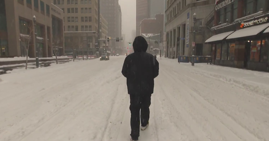
We just received a foot and a half of snow and already significant melting has occurred on the sunny side of streets and a little on the shady ones too. Temps will run significantly above average these next few days and will even stay above freezing at night which may lead to serious melting of the snowpack out there. To be honest, if it weren't for the snow on the ground we could actually see 60+ but we won't be able to mix the air down from thousands of feet up as a low level inversion will keep the atmosphere very stable over the next few days.
First night will end up quiet and mild...incredible when compared to past First Nights...Just last year we were dealing with a couple of inches of snow, the year before that subzero winchill and the year before that rain and mixed precip. This go of it will be a cake walk.
The warmth won't be around for that long, in fact Saturday night into Sunday a slow moving coldfront will work thru the Northeast producing rain showers...nothing that heavy. Models are still hinting at the possibility of a wave developing along the front to our south and scraping SE Mass Sunday night with a little precip that could actually fall as mixed precip if it materializes but right now the upper level flow does not appear too favorable for that wave to sneak up here...the shortwave shears out so for now no issues are anticipated.
Happy New Year, have fun and be safe!


