Warm & Wet...
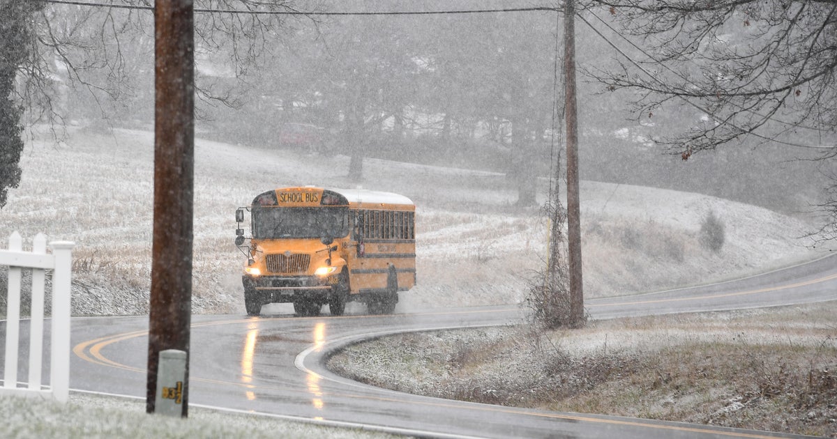
The pattern is turning more active and at first will be mild but over the weekend the cold will win out. With temps climbing to around 50 degrees for the next 36 hours there is no concern for ice or snow. There isn't much forcing for ample moisture right now so we are looking at just some spotty showers and pockets of drizzle through later tonight. However, tomorrow a cold front will slide into the area and rain intensity will pick up. The front will clear the coast tomorrow evening and temps will begin to fall. The heaviest of the rain will be tomorrow evening as well...a weak wave of low pressure will work up from the south and rain amounts will top a half inch. As the system is pulling away the cold air will catch up and change rain to snow early Saturday morning. With a mild ground a the wet start there won't be much accumulation...just coatings...but the hills NW of Boston may pick up an inch or two. Skies will clear out for the rest of the weekend and the cold will further establish itself through Sunday.
Of bigger concern is Sunday night and Monday...cold air will get locked in the lower levels as a storm approaches from the south. Snow will break out in almost all locals Sunday night but will transition to sleet and freezing rain then all rain for the coast Monday morning. The change from frozen to liquid will take longest inland and icing will be a big problem. Details will be ironed out as we get closer but the Monday morning commute is looking real bad right now.


