Uphill Swing
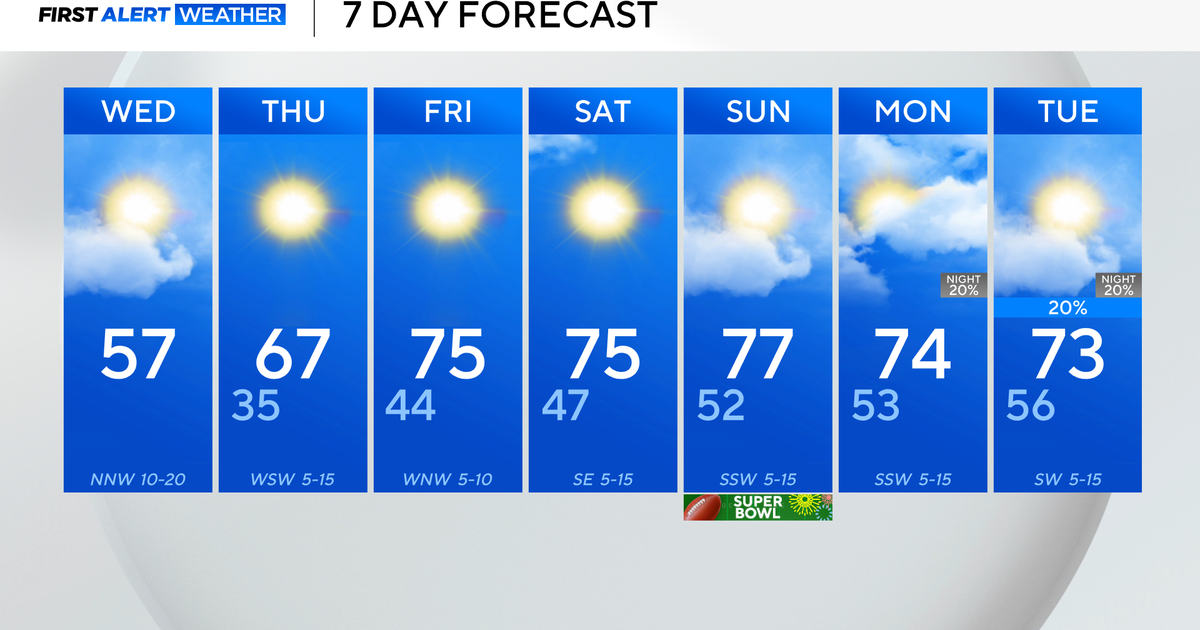
It's a chilly start to our Wednesday morning, but today is going to be the beginning of a 'February Thaw'. It seems that Mother Nature decided to postpone the January thaw. :) Highs today will range from the upper 30s to the lower 40s. Expect filtered sunshine due to high and mid-level clouds from a awarm front passing to our north.
High pressure will continue to support dry weather through Thursday. We will be on the back side (aka 'return flow') of high pressure which will induce a warmer southwest breeze. Consquently, we can expect high temps to reach the upper 40s/near 50 on Thursday.
Then, there's FRIDAY! It's going to be the crescendo of the thaw with highs in the lower to middle 50s. Depending on the amout of sunshine, it's possible we reach the upper 50s/near 60 in spots when you also factor in the current sun angle and longer daylight hours. The partly sunny skies on Friday may be accompanied by a few showers during the early morning hours due to a warm front lifting northward. There will also be a slim chance of a renegade shower affecting the region late-day Friday as a cold front travels to our east (best chance will be north and west of our viewing area).
Check out this 850mb temperature map depicting warm air advection on Friday...

This weekend: Temperatures will drop back into the 30s, and winds will be gusty. There will be plenty of sunshine though. Sounds like good skiing weather!
Melissa :)

