Two Rounds in Three Days...
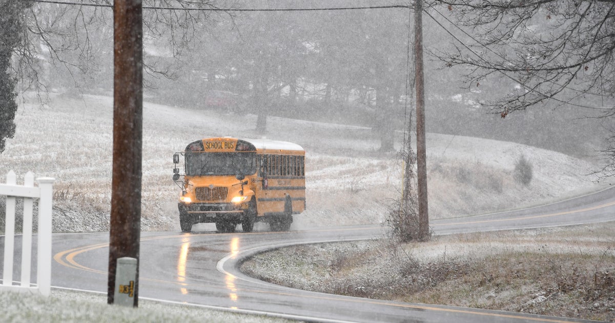
So here we go, heading into the snowiest stretch of our Winter...that's not saying much...but plows will be needed for both. The first system will race through tonight. This is a fast-moving front with a wave trying to develop along it. There is a lot of surface convergence going on too so even though the moisture will be limited, the lift will compensate. This will focus snow over Southern New England for a few hours later tonight and leave behind 1-3". The snow will be light and fluffy, easy to handle and tapering off overnight so that nothing is left for the morning commute. Tomorrow will turn sunny and that sun will be blinding reflecting off of all the fresh snow.
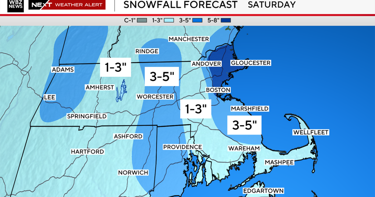
Saturday still looks a little beefier. There isn't much mid level support, there is a nice jet streak to provide some lift but in general we will be relying mostly on the warm air advection to manufacture this snow. That along with the west to east track of the surface low south of the islands will create a sharp cutoff to the snow on the northern flank. Therefore, precise location of the track is critical here and the snow is highly dependent on it. Slight shifts in the model tracks have been leading to swings in the forecast over the last 24 hours. Our hope is that tomorrow we can nail it down but right now it is still in flux. So with that said right now we like 3-6' Boston-points south and 1-3 to the north. Again, we will fine tune tomorrow but what we can take away is that this will be another plowable snow.
Despite plowable snow, both storms will be low impact meaning very little wind, no coastal concerns and a fluffy snow type...they should be pretty easy even in this snowless Winter.
