Two More Chances...
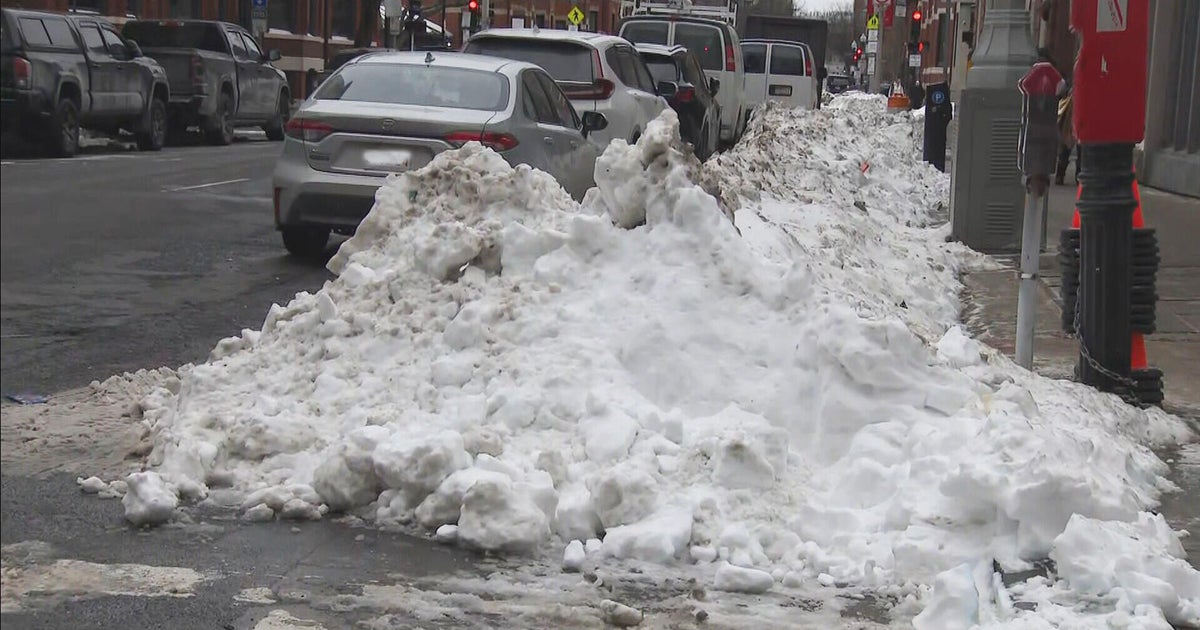
Boston just saw its biggest snowstorm of the season...1.4"...amazing how lame this Winter has been. Well this week looks to be somewhat interesting with two more chances of snow and normal January cold for a change.
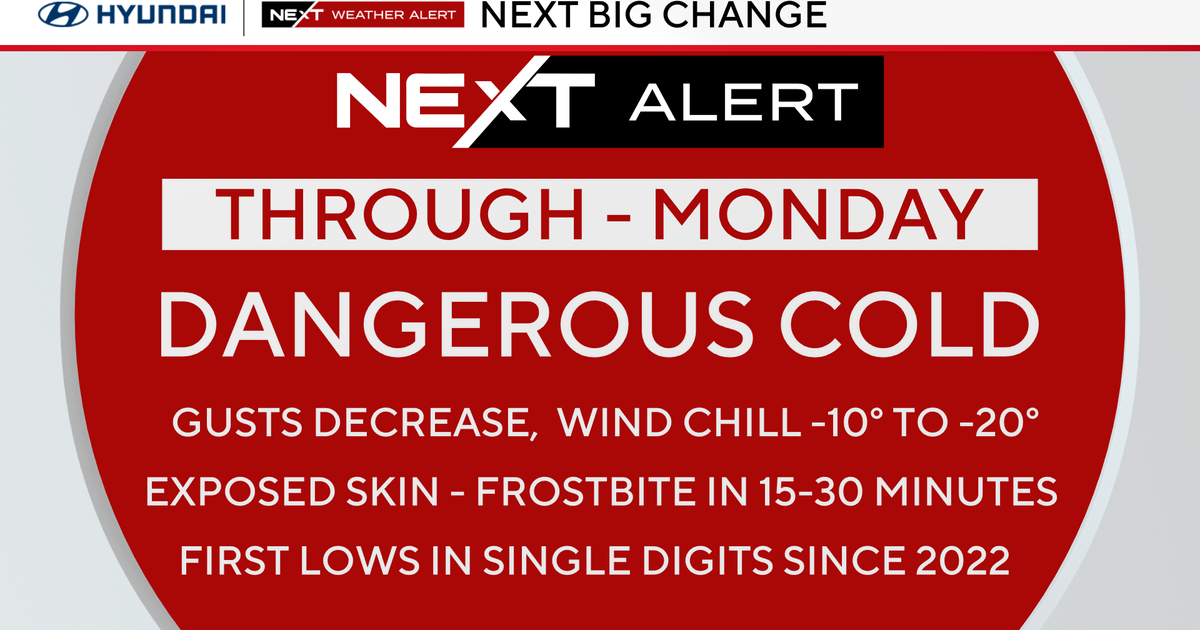
Tonight's warm up is only temporary, a strong coldfront will whip through later tonight with gusty winds creating falling temps tomorrow. The high will be set in the morning and by evening temps will be slipping into the 20s. There may be some black ice issues north and west of Boston late tonight as the temp begins to fall. There is a Wind Advisory for tomorrow, gusts to 50 mph will be possible.
Watch Todd's forecast
Clouds will increase on Thursday out ahead of our next snowmaker...a fast moving clipper like system will spread a swath of snow through almost all of New England Thursday night gone by the Friday morning drive but it will leave behind a general 1-3". Thursday night's snow will be totally different from this mornings...much lighter and fluffier...move it around with a broom type snow.
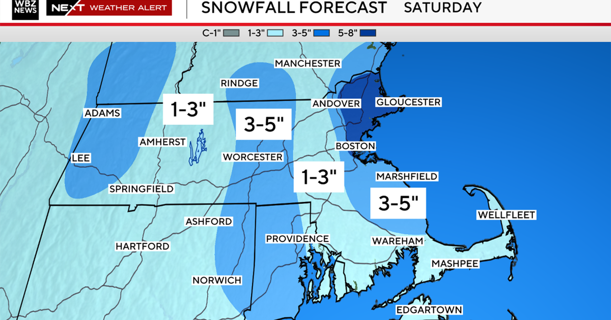
Our final chance will be Saturday, this has the biggest snow potential of the week. Southern energy, capable of tapping moisture from the Gulf of Mexico will race northeast. The upper level is fairly strong but don't go negative so the system will be progressive. Thus, if the storm tracks far enough north and right now it looks like it will, a moderate snow event is very possible.


