Turning Down The Heat...For The Next Few Weeks
Interesting afternoon across Eastern MA. Heavy downpours dumped 1.1" of rain in 30 minutes in Lynn. Reading had flooded roads which became impassable as torrential thunderstorms trained one after the other moving NW to SE from Northern Worcester, through Middlesex counties, though Boston and South Shore communities. Some of these storms contained hail. For the Second day in a row, Barnstable county was issued the only Severe thunderstorm warning in eastern MA for a vicious line of storms which brought hail, vivid lighting and gusty winds. A dangerous time to be out on the boat.
Unlike yesterday, where the storms could not survive because of weak upper level winds...today was more favorable for thunderstorm development. stronger NW winds aloft help to provide shear and tilt to the storms to allow the warm air to continue to rise into the storms in the form of updrafts. A cool pool of air at the same time was moving in thanks to an energized upper low digging in over our heads. This combination, along with the heat supplied by the sun made for a more volatile after noon. These diurnal storms were driven by energy of the sun. As the sun sets...so will these storms with a gradual clearing overnight.
We reached 92 at Logan airport today. This makes it the 3rd day in a row where temps were 90 or warmer making it an official heat wave. Warm breezy WNW winds have been riding runway and baking the thermometer at the airport. Other areas have been very warm..just not as Hot as Logan the past few days.
So as the title says...we are going to be taking a major break from the heat...not just in the next 7 days..but likely through the middle part of the month. After this weekend a broad trough will develop over the northeast which should be in place through the 18th! This will help to keep the heat ridge to the west and our air will be coming from Canada providing cooler temps and lower humidity. How does that sound? Though so.
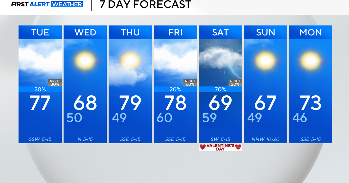
The next few days will be uneventful. A wave of low pressure stays south of us tomorrow. Mix of sun and clouds with winds turning onshore for a sea breeze. The next few days will feature seasonal temps inland in the lwr 80's with sea breezes at the coast keeping temps in the 70's at our beaches. We will remain dry for the first half of the weekend with winds shifting back to the SW ahead of a wave of low pressure which will approach for Saturday Night and Sunday. This could become a weekend spoiler. Today, Saturday looks like the better of the two weekend days. Morning rains on Sunday will taper by afternoon with plenty of clouds and cooler temps in the 70's. We will see increasing sun and seasonal temps moving into next week
TS Emily showing some enhanced convection tonight still with 50 mph winds. This will be a rainmaker for Hispanola over the Dominican and Haiti with 4-8" of rain and the potential for mudslides. 600,000 people still live in tents in Haiti because of the tragic earthquake...hopefully this storm does not provide any more grief for them. The WNW track will take Emily through the Bahamas where she could begin to strengthen more into stronger tropical storm. Emily is expected to remain off the US coastline and stay out to sea.
