Tuesday Transition Before Wednesday Afternoon/Evening Rain
With a front stalled south of New England this morning, mid-level stratus clouds have quickly overspread the region with a blanket of overcast skies for the morning hours. There is even a chance for a stray sprinkle...but the air is too dry for much if any of the drops to reach the ground. The clouds will begin to thin this afternoon for some partial sun to emerge. A breeze from the SW will allow temps to rebound back into the mid-upper 60's with any breaks of PM sun. The Warmest spot will be SE MA and locations towards the coast.
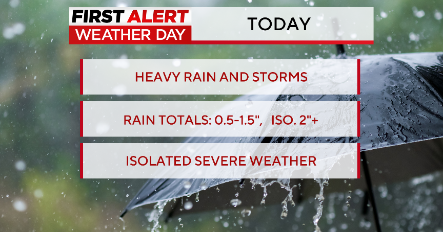
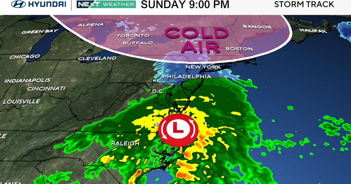
As we have been talking about for the past few days, we are tracking two Lows...a low from the mid west will dig into the Ohio valley, with a second low tracking up the east coast.. With a deepening trough on the eastern seaboard tropical rains will be directed up the east coast. Clouds will thicken again tonight through tomorrow morning as the stalled front turns to a warm front and is pushed towards the south coast. The timing of the rain has slowed down a bit so it appears the heaviest of the rain will likely hold off until afternoon. The morning commute will be dry with showers arriving at the south coast. The rain will begin to advance northward from mid-late morning in the morning...still mostly south of the Pike. This means the heaviest of the rain will likely be Wednesday afternoon through Wednesday night. The heaviest rain will likely fall from RI to Eastern MA where a widespread 1-2" rain fall is likely with pockets of 3+" are possible if any slow moving downpours develop. This will be a fast moving rainstorm so no big flooding problems are anticipated, but the heavy tropical downpours could lead to localized urban street flooding. There is still some uncertainty where the heaviest rain will eventually set up..though eastern sections of New England remain the most likely.
Temperatures Wednesday will depend upon where the placement of the warm front sets up. It will not go very far inland. In the NW burbs of Boston, in the lwr-mid 50's, South of town..50's near 60, with some Lwr 60's for the Cape and Islands. Cool ENE will keep the cool air in place and prevent the warm front from getting much of a push north. Stronger SE winds will develop with the approaching rain where winds will gust to 30-40 mph at the south coast.
The tropical low weaken as it crosses through SNE Wednesday night. Heavy rain will be tapering to showers with a dry slot of air following behind and occluded front between these two lows. A few lingering showers are possible early Thursday, but the trend will be for drier weather with increasing afternoon sunshine and strong winds out of the south following these departing lows. Winds could gust 40-45 mph at the south facing beaches. Windy and mild with temps nearing 70. It should turn into a pretty nice day for weather enthusiasts.
High pressure will be building in for the weekend with some increasing sunshine and seasonably cool temps. Cool air aloft with still an upper level trough in place will allow for plenty of diurnal cumulus to develop for mix of sun and clouds and temps in the upper 50's and lwr 60's.
