Tuesday Snowfall: Who Has The Most?
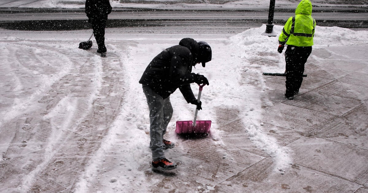
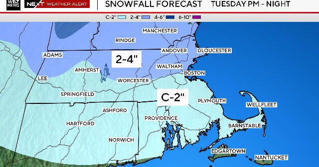
BOSTON (CBS) --- Tuesday's snow storm is expected to be a quick mover but pack a bit of a punch.
Here are the latest snowfall totals from the National Weather Service in Boston and Rob Macedo, the SKYWARN Coordinator for the National Weather Service in Taunton, for Tuesday, February 18 as of 8:15 p.m.
| Town | Amount |
|---|---|
| Milford, NH | 10.0" |
| Tyngsboro | 9.0" |
| Westford | 9.0" |
| North Chelmsford | 8.8" |
| Littleton | 8.2" |
| Carlisle | 7.7" |
| Georgetown | 7.0" |
| Stow | 7.0" |
| Millis | 6.2" |
| Ashburnham | 6.1" |
| Groton | 6.0" |
| Andover | 6.0" |
| Lunenburg | 6.0" |
| Bradford | 6.0" |
| Lowell | 5.5" |
| Ashland | 5.5" |
| Holliston | 5.5" |
| Leicester | 5.5" |
| Walpole | 5.5" |
| North Attleboro | 5.0" |
| West Peabody | 5.0" |
| Warwick, R.I. | 5.0" |
| Newton | 4.8" |
| Foxboro | 4.8" |
| Tewksbury | 4.5" |
| Wrentham | 4.0" |
| Mendon | 3.8" |
| Chelsea | 3.8" |
| Dover | 3.5" |
| Ayer | 3.3" |
| Duxbury | 3.0" |
| Plymouth | 2.8" |
| Sharon | 2.6" |
| Boston (Logan Airport) | 2.5" |
| Acushnet | 2.5" |
| New Bedford | 2.5" |
| Fall River | 2.0" |
| Chicopee | 2.0" |
