Tropical Storm Jose Isn't Going Anywhere Fast
BOSTON (CBS) - Going nowhere fast…Jose has been nearly stationary all day Thursday, sitting about 150 miles southeast of Nantucket. It seems that Jose has gotten comfy down there as it is showing no signs of any significant movement.
In fact, most weather models show Jose wobbling around in circles through the upcoming weekend! Thankfully a steady degradation is already in process. With each advisory that comes out from the National Hurricane Center, Jose's central pressure is rising (a sure sign that the storm is weakening) and the maximum sustained winds are decreasing.
So while conditions will gradually improve, it will take a while.
WIND AND COASTAL IMPACTS
The winds are still blowing hard over the South Shore, Cape Cod and the Islands. North-northeast gusts between 25-50mph will persist through a good deal of Friday.
The wind direction will remain from the north-northeast through the Weekend, but decreasing a bit each day from here on out.
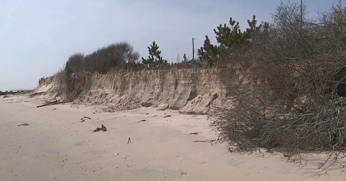
The coastal/beach erosion will continue day after day and some minor coastal flooding and splashover will also come with each passing high tide.
RAIN
Bands of rain will also continue to rotate onshore through Saturday morning. Mostly affecting southeastern MA, but some light showers may push farther north and west on Friday. Either way, most of the area will be stuck in the clouds and cool temperatures (60s) on Friday.
WEEKEND OUTLOOK
With Jose in close proximity this weekend, eastern Mass. will have to deal with some stubborn clouds, especially on Saturday.
Sunday turns brighter across the board and warmer too. Many will soar well into the 80s with record warmth anticipated across parts of northern and central New England.
HURRICANE MARIA
Meanwhile, we're keeping a very close eye on Hurricane Maria, which is once again a major, Category 3 hurricane.
Maria has started the trip northward…it will pass east of the Bahamas over the next few days, likely weakening to a category one hurricane by early next week, well off the coast of North Carolina.
The latest guidance suggests that Maria will stay out in the Atlantic, passing well southeast of New England during the middle to latter part of next week. This would likely bring more rough seas and dangerous rip currents to our shoreline, but would spare us from any dangerous winds and rain.
With Maria still nearly a week away, a closer track to the East Coast and New England still cannot be ruled out. Obviously if this were to occur, our impacts would change dramatically.
As always, we urge you stay tuned to WBZ-TV, WBZ NewsRadio 1030 and CBSBoston.com for the very latest.


