Tropical Storm Debby's path shifts, less rain coming to Massachusetts
UPDATE 8/8: Tropical Storm Debby's path has now shifted west of Massachusetts. Click here for the latest forecast and timeline.
BOSTON - Tropical Storm Debby made a second landfall in South Carolina early Thursday morning with more heavy rain and high wind gusts as it moved up the East Coast.
Debby path
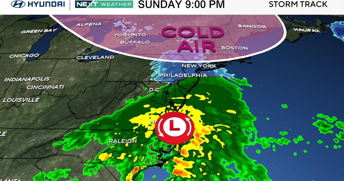
Debby will stay inland, over land, and start to increase its forward speed as it heads northward through Pennsylvania and New York state.
At the same time, Debby will rapidly deteriorate, losing its tropical characteristics. By the time it reaches the Northeast, it will be a regular area of low pressure, albeit with some very heavy rain along and west of its track.
Hurricane Debby tracker
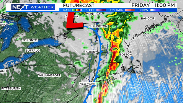
The center of Debby's remnants will pass several hundred miles west of the Boston area bringing the heaviest rain west of New England.
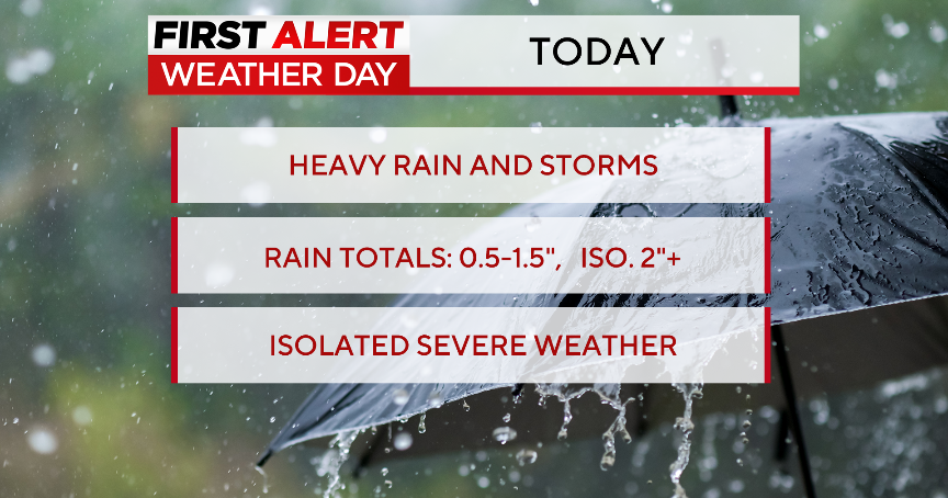
There will be 3-to-6 inches of rain in parts of Pennsylvania and New York state. Farther to the east, into New England, we only expect a half inch to an inch or two of rain at most.
If you have plans for the weekend in Massachusetts, there's great news! Debby's remnants are going to fly through here at rapid speed.
It's likely that the highest impacts for New England will come late Friday night and be long gone by Saturday.
Models are showing something similar to a squall line Friday night with the potential of a brief period of heavy downpours and a risk of a few severe thunderstorms.
Weekend forecast
Other than a few leftover clouds and a very early shower, Saturday should feature plenty of sunshine and comfortable, dry air!
The outlook is equally as nice for Sunday and the beginning of next week. We should have several days of sunshine and without the heat and humidity we have been experiencing as of late.

