Three in a Week...
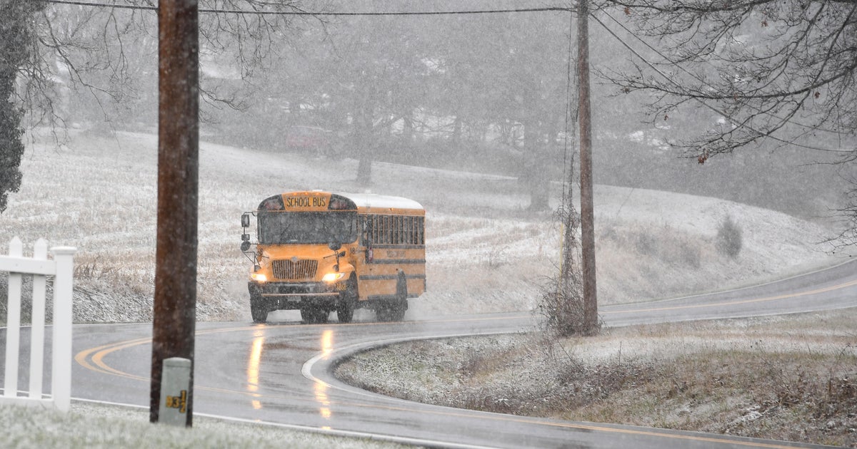
Not since last Winter have we talked about three potential snowmakers in one week...but here we are half way through the Winter and we are finally getting some snow. We've already had one 1-3 inch snow earlier this week and another one is on the way. A thin band of snow entering the Lakes along a coldfront will travel into the Northeast tomorrow night. Upper level energy will try to spin up a weak area of low pressure along the front bolstering the thin line of snow into a burst of fluffy snow. In the end, the snow will start late in the evening and be gone by the morning commute on Friday morning and most should see 1-3". I don't see the roads being as bad as they were the other night...the snow will not be that wet and therefore won't create the icy glaze.
We will see a brief break on Friday with clearing and brisk conditions before the next system arrives Saturday morning. This one will have more of a southern connection and therefore much more moisture to work with. Because of that southern connection, warmth will also surge up with it but that warmth will likely get cut off before it gets deep into New England by the cold high to the north and northerly flow. This should keep a good portion of the storm all snow with the exception being SE Mass where sleet and rain will work in. With the current upper air configuration this looks to be a quick mover in mid-morning Saturday and gone by the evening...a daytime storm. If the track holds steady we are looking at a 3-6" snow zone for most and less in SE Mass. Nothing huge but easily the biggest of the season (excluding the October Nor'easter).
The storm will be long gone for game day Sunday...intervals of clouds and sun, light wind out of the NE and temps in the lower 30s.


