The Start of Another Minor Snow Event...
We've had several reports of flurries and a little light snow this evening but nothing is sticking yet as surface temps are still above freezing and the snow is pretty much negligible anyways. The airmass is still very dry as dew points are in the teens and lower 20s so lots of virga around. With dew points that low surface temps will have the opportunity to fall into the 20s late tonight and any snow that does fall will start coating surfaces including any untreated and less traveled roadways. The question remains how deep will that coating get???
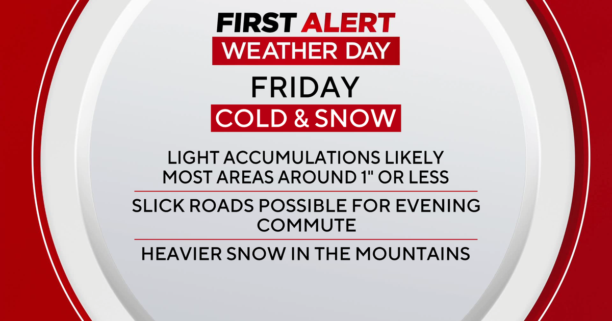
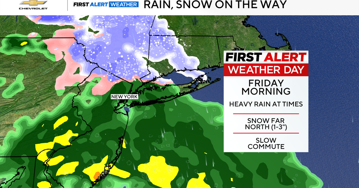
The GFS remains the most robust but on it's latest 18Z run it has backed off a bit on it's QPF and I like the trend based on analysis of the column. It looks like the bulk of the overrunning precip will arrive late tonight as the storm slides by to our south but the deeper moisture will remain south of Boston and really south of New England. I have noted the convective precip in PA and the northern edge of those storms will probably clip the South Coast and Islands enhancing snow amounts down there. In the end we are looking at a dusting to an inch in the Boston and area and points north with 1-3" south of the city.
Upper level energy will provide some lift for occasional flurries or snow showers tomorrow afternoon and again on Friday and with downstream blocking forcing cold air into the Northeast temps will struggle to get to 40 degrees through the weekend!
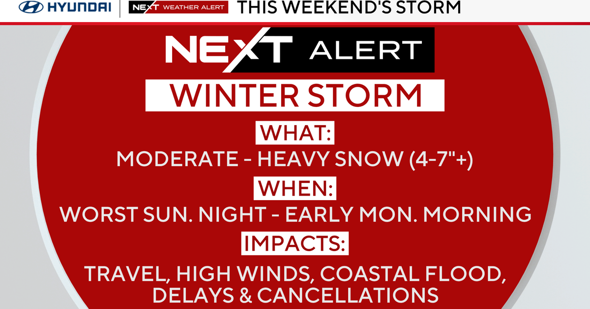
We are also monitoring another storm system for Sunday that looks to slide to our south it could be a close call but right now the upper level cut-off expected to be to our north should be able to keep the system far enough offshore..
