Rain-Snow Line Challenge In Weekend Storm
It's a definite that today will be a pleasant winter day with sunshine, lighter winds, and highs flirting with 40.
However, it wouldn't be a nor'easter without some challenges for our WBZ Weather Team and fellow meteorologists!
Ask: Your Questions Answered By WBZ-TV Weather Team
Cloud cover will continue to thicken early on Saturday before a rain-snow mix sets in during the evening, mainly after 4 p.m.
Check: Interactive Radar | Current Conditions | Weather Blogs
Winter storm watches will take effect on Saturday afternoon and continue into Sunday afternoon. Then, the 'core' of the storm will be felt from about 1 a.m. Sunday until 1 p.m. Sunday.
This is when the heaviest precipitation will be falling as well as the gustiest winds blowing. The latest models are showing the rain-snow line climbing as far north as the Mass Pike, Boston and the North Shore, excluding the higher elevations of Worcester County.
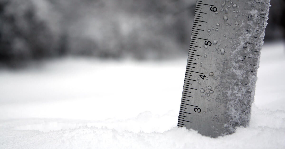
All areas north of this line will have the potential of seeing 6-to-12 inches of heavy, wet, 'glue-like' snow.
Otherwise, Boston, the North Shore to northern Plymouth and Bristol Counties will have the potential of seeing 4-to-6 inches of heavy, wet snow.
The latest thinking leads me to believe that the southern halves of Plymouth/Bristol Counties and near the Cape Cod Canal will see about 2-to-4 inches.
The Outer Cape and Islands are looking like more rain, so I am guesstimating a coating to 2 inches from the wrap-around snow showers toward the tail end of the storm.
This heavy, wet snow may create issues with downed power lines, trees, and limbs.
Coastal concerns are focused around the 10 a.m. high tide on Sunday when winds will be persistent from the east-northeast and gusting up to 50 mph. Minor to moderate coastal flooding and beach erosion will be possible.
The weather will be calm as we kick-off next week.
Happy FRRRiday!
~Melissa :)


