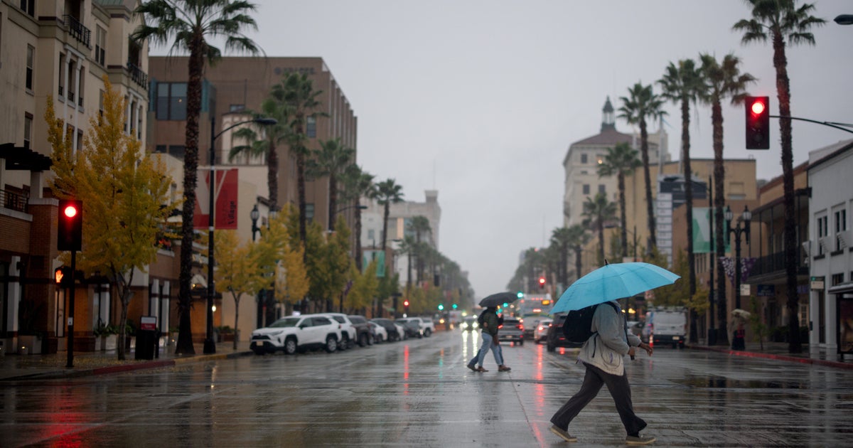
The Lousy Side of Spring...
This is so typical of Spring in New England and while I'm not a fan of this, for me, I just think back about 45 days ago when the snowbanks were up to our ears and a smile appears on my face...I'd take this any day of the week over that!
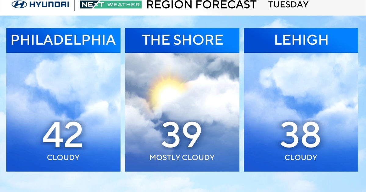
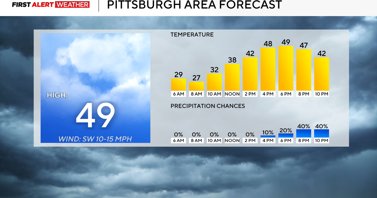
Well we have more of "this" for another 24+ hours...cloudy, rainy and raw. There is a slight chance for a warmfront to get through the area but I'm not seeing that as a logical solution. Instead, temps will stay in the 40s through tomorrow and clouds, rain and drizzle will be locked in. The exception will be in SE Mass where some brightening or even a few sunny breaks will occur tomorrow afternoon and therefore highs will reach the low to mid 50s. A coldfront will be sweeping in later in the evening this will provide us with a final chance at showers or thunderstorms but I suspect that any convection will be dying off as it encounters the cooler maritime air in Central and Eastern Mass.
The front have the cleared the coast Wednesday night and a new wind direction will take over...it will be from the NW...a dry direction so plenty of sunshine but it will be blustery and therefore the high of 56 will feel more like 46. Friday should be a beauty...sunny and light wind with the high passing overhead...highs in the mid to upper 50s.
As the high departs it will set up another warm air advection situation but just like with this system while the warm air will come in aloft it will have a tough time getting to the surface and therefore another front will get hung up in the area...this means cool temps and occasional rain for Easter Weekend.
