The Battle of the Warm & the Cold
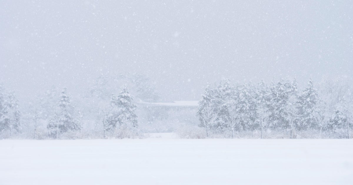
The cold air will win out for higher elevations of Central Massachusetts as well as Southern NH where some areas will receive 3-6+" of heavy, wet snow. Ski country is going to be all smiles from today's storm! Winter Storm Warnings and Winter Weather Advisories are in place north and west of 495 through Thursday morning. The mild air near Coastal Massachusetts as well as all of Southeastern Masscahusetts will support rain the entire day. Rainfall amounts will add up to 1-1.5" for most neighborhoods. Winds will also be gusting up to 25+mph from the east. A Coastal Flood Advisory will be in effect from east-facing beaches from 11am to 2pm. Minor coastal flooding and splashover will occur around this midday high tide.
The precipitation will come to a halt early tonight. Then, mostly cloudy conditions will prevail. Overnight lower will hover in the middle 30s.
Thursday, the last day of February, will be mainly cloudy with a few rain showers. High temperatures will be in the middle 40s.
We will kick-off the month of March with mostly cloudy skies, slightly below normal temps, and a few snow showers. Highs will be in the upper 30s.
This 1st weekend of March will be mainly dry with more clouds than sun. There will be a slight chance of a diurnal snow shower or two since we will be under the influence of a troughy pattern. Highs will be in the lower 40s on Saturday and upper 30s on Sunday.
Halfway there...
~Melissa
