Temperature Shock
Continental Polar air has taken the plunge into our backyards. Yes, it's a shock to your system as you walk outside this morning.
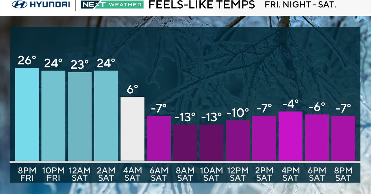
Then, we can factor in the gusty NW winds in order to have wind chill readings 0F to -5F.
Despite the all encompassing sunshine, highs will hover in between 20F and 27F. That's 15-20F degrees below the average for March 3.
Temperatures reach the 30s by Friday with increasing clouds as a warm front nears.
Watch Melissa's forecast:
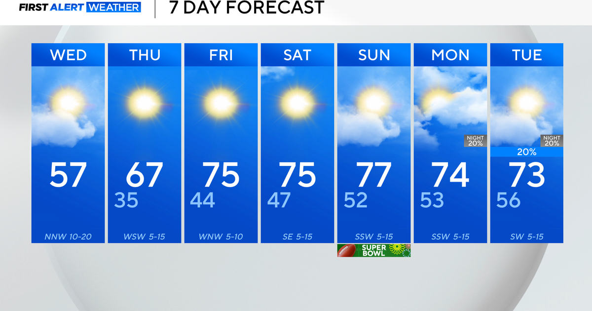
Friday night through Sunday: The majority of the 'lift' from the warm front will remain to our north and west Friday night, but it's possible a few rain/snow showers slip into our northern and western viewing area during that time period. Then, we will be in the warm sector for the weekend. The majority of the energy from a cold/stationary front will remain to our west through Saturday. An upper level ridge will be slowing down the cold front which becomes nearly stationary until the ridge breaks down. Debris cloud cover from the stationary front will create partly sunny skies Saturday. The best chance of rain begins Sunday afternoon and continues through Monday afternoon. During that time period, the heaviest precipitation will fall from Sunday night into Monday morning. At the moment, it appears the precipitation will fall in the form of rain. However, there's a chance that there will be a rain/snow mix for the tail-end of the system. In my opinion, the best part of the weekend is the warm air advection that will be taking place.
Melissa :)


