Taste of Autumn...
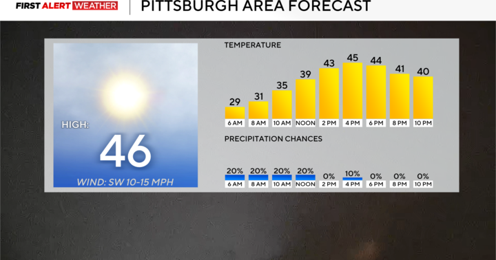
Another day with a high in the 80s...83 in fact before the potent front swept through with drenching thunderstorms. Now, a secondary front is crossing and along this one are a few more showers and some gusty WNW winds that are transporting in the coolest air in months. I actually went back and checked records and it turns out that the length of time since it was this cool isn't that impressive...early June. So in the end while this new airmass will have a bite to it and early mornings will be chilly, it's nothing crazy. In fact, the moderately strong September sun will offset any chill that exists by late morning.
This will end up being one amazing stretch...high pressure will be anchored near or over us for days and days...our next chance of rain won't come until late NEXT week...wow!
Interesting tidbit...tropical system Maria has become a hurricane the third of the season. It is flying to the NNE at about 40 miles per hour and right now the official track from the Hurricane Center sends it into Newfoundland with St. John's, the capital of that province, in Maria's path!


