Taking A Dive
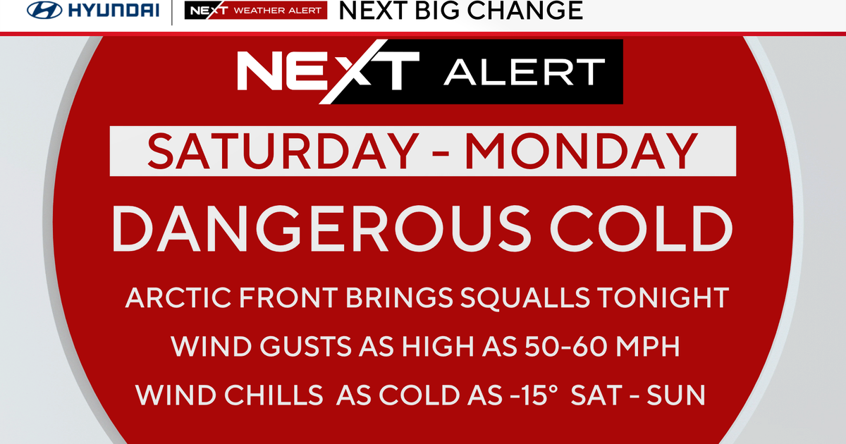
Get ready for temperatures to tumble! It's going to be a windy and rainy morning as a cold front sweeps across New England. In its wake, there will be a change of airmasses. The newer airmass will be considered Continental Polar, so cooler and drier. Some other signs of a colder outcome are the lake-enhanced snow showers around Lake Superior and Lake Michigan on radar this morning. Tis the season! We will have scattered rain that will lighten into a few showers by midday. There will be drier air working from wets to east this evening and tonight. There is one excepetion: showers and clouds will linger for most of the night across the Outer Cape and Nantucket. Highs temperatures will be met this morning near the 60F degree mark before the mercury takes a dive this afternoon into the 40s. Winds will be gusty as they switch from southwest to west-northwest during the day as well.
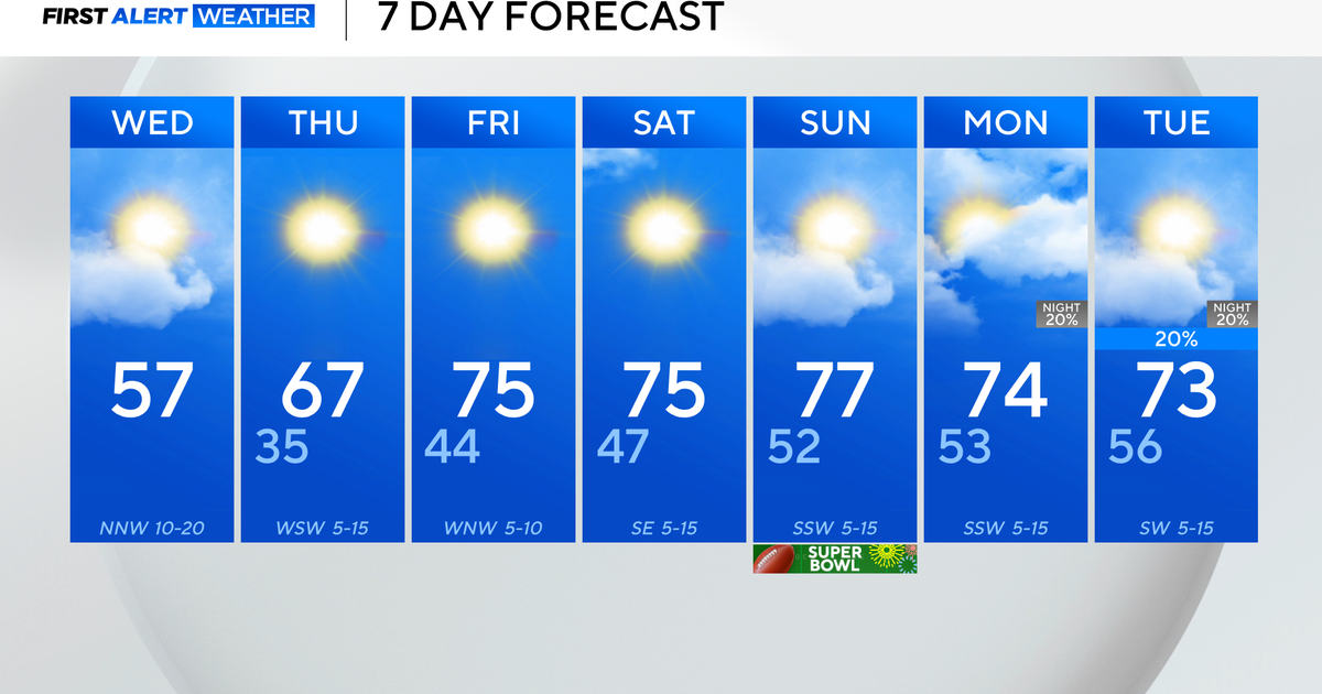
Wednesday will be mostly sunny for everyone except for the morning clouds near the Outer Cape. The breezy northwest wind will add a 'chill' to the air. Highs will be between 45-50F.
Thursday will also be a bright, yet chilly day with highs in the middle and upper 40s. There will be more clouds around the coast due to the effects of a backdoor cold front and winds originating from the north-northeast.
Friday will bright and cool once again. Highs will be in the middle and upper 40s. Sounds a lot like Thursday, eh?!
This weekend, the models have diverging solutions this weekend and early next week. Both the EURO and GFSx have us under dry conditions on Saturday. Then, the EURO has us dry until late Tuesday and Wednesday as a coastal low tracks up the coast. While the GFSx has a faster onset of rain with wet weather arriving on Sunday evening and continuing Monday and Tuesday. The EURO has been the best go-to model this far out, so I am sticking with a dry weekend and introducing rain on Tuesday evening. Highs will be near 50F on Saturday and Sunday.
~Melissa :)


