Sunny Stretch On The Way
Today will be the end of this unsettled weather pattern that began just a few days ago.
Check: Current Conditions | Weather Map Center | Interactive Radar
Clouds and showers will linger this morning while breaks of sunshine will be included in the forecast this afternoon, mainly between 2 p.m. - 6 p.m.
Then, another cold front from the Great Lakes will bring us a chance of thunderstorms after 6 p.m.
The best dynamis and upper level support for strong storms will stay north and west, including Vermont, NH, and Western Massachusetts.
This link will provide you with a depiction of today's convective outlook compliments of the Storm Prediction Center. With the few hours of sunshine, temperatures will climb into the lower and middle 70's for the majority of the area and 65-70 for the Cape/Islands.
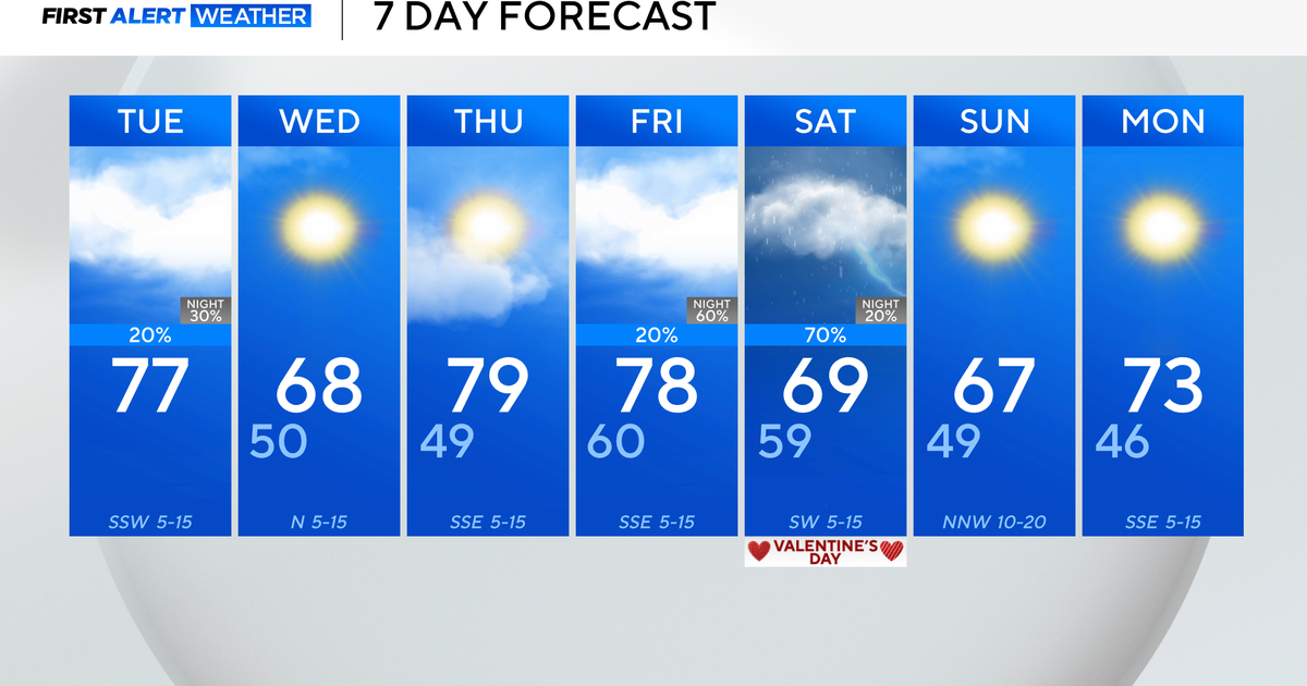
Thursday will be the beginning of a pleasant sunny stretch that will last through the weekend. Highs will be in the lower to middle 70s with a northwest breeze.
Friday will be another beauty with sunshine and highs in the middle 70s and the middle to upper 60s for the coast in response to a seabreeze.
This weekend will be a beauty!
Saturday will be 'crystal clear' with highs in the middle 70s, and Sunday will be mostly sunny with highs near 80 inland. The Cape/Islands will be cooler in the upper 60s to lower 70s.
Models start to diverge early next week with the depiction of an upper level ridge as well as an inverted trough.
The location, orientation, and weakening of the inverted trough remain to be seen though.
I am following the EURO model due to its accuracy as of late.
This means that the week will start off dry, but showers will return to the forecast on Monday night and Tuesday.
Halfway to the weekend!
~Melissa :)


