Sun, Snow, Rain...Then March!
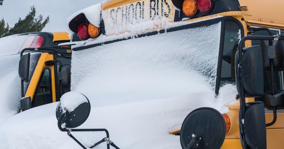
Aaaah. So good to be back talking about weather and away from babyland for a bit! What an awesome morning for skiers with a fresh 6-12" of snow for the mountains of VT, NH, and ME. The jackpot of snow moved through southern VT, SW and central NH and into SW ME. Places from Lewiston, to Laconia to Ludlow, VT all saw close to a foot of snowfall in the past 36 hours.
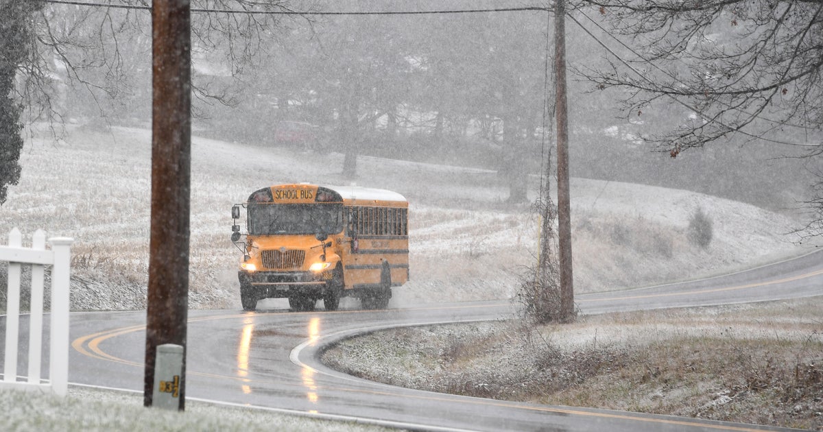
Most of us are waking to a fresh coating of snow this morning as we briefly changed over as the storm pulled away last night. With a layer of ice under the snow, it is a bit crunchy and icy on the cars and pavements. Winds have diminished as weak high pressure sits near us today and moving through the mid-Atlantic states. Sunshine this morning with increasing high to mid level clouds this afternoon ahead of our next disturbance. Highs will be cooler than normal in the lwr-mid 30's.
Shortwave energy in the form of a weak Clipper will move from the Plains and track south of New England tonight through tomorrow. Plenty of cold will be in place so the ptype will be mainly snow. The main timing of the snow is from midnight tonight through midday Sunday. This low will be weak and fighting some low level dry air at the onset so this will help to accumulations down. Still, a widespread 1-3" of snow is considerable snowfall for those who may not be paying attention to their daily weather forecast. The heaviest snow appears to track from southern VT, S. NH and N. MA where there could be a few pockets of 4". Plenty of low clouds linger into the afternoon with the chance of a few scattered lingering rain or snow showers.
The fast flat flow of the jetstream will shift to a trough in the northeast for the start of the week. Our next low will come from the SW US and pull a warmer, moisture loaded airmass towards the Northeast. This low will be tracking west of New England. Low level Cold air will be in place Sunday night, so once the column moistens enough by dawn to precipitate...expect a period of freezing rain and sleet Monday morning between the hours of 5 AM-9 AM.
Warm Strong SW winds in the low level jet will continue to override the cooler air at the ground producing considerable lift through the morning into the midday. Any icy mix will be shifting north of th MA border by late morning. 2 batches of rain will be likely. The first batch with the warm front moves through with rain tapering off in the afternoon. SW winds gusting to 40+ will bring us in the warm sector with highs climbing to near 50. The cold front approaches Monday night with another wave of low pressure riding along it. This will come with some heavy downpours and embedded thunder as cooler air clashes with the warm air in place along the east coast. Precipitable water values are up to 1-1.5"...so I am expecting another 1-2" rainfall which could make for more minor street flooding in the downpours.
Gusty winds will shift in on Tuesday behind the departing front. Mild air will remain in place through the midweek with temps in the mid 40's. Cooler dry weather will likely shift into the Northeast to end the week with building high pressure out of Canada. Nothing too cold. After some unsettled weather by next weekend, it looks like Artic air my try to press further south out of Canada for a colder trend of weather from March 8th through the 12th. Heading to a Skywarn spotter meeting at the National weather service today....have to go! Have a great weekend!
