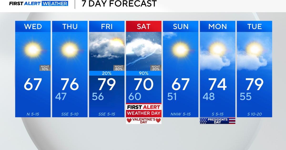
Struggling To Warm...But Still Above Normal
It's always good to have a little perspective. Our recent warm March was a serious tease as most of us were ready to break out the beach gear and move right into summer...and skip an entire season! Well, as we know...spring has returned. It is a typical April airmass. Normal high for this time of year is 53 and that is where we will be today. Dry breezy conditions still making for an elevated risk of brush fires. A red flag warning is in place for Worcester and Middlesex counties. A deck of mid level clouds is pushing through east MA this AM from Northern New England. Brighter skies will be found inland. These are clouds on the move...so sun will return before the AM through...but All of us will begin to turn cloudy this afternoon. Breezy NW winds will keep temps in the Lwr 50's. Winds turn onshore this afternoon at the coast which will keep temps in the 40's at the beaches...with clouds and a breeze...definitely chilly.
High pressure to our west is making for bright sunshine inland...but we have to watch a low off the coast of New England which will be pushing into Nova Scotia and then eventually into Canada...just north of New England. This low will continue to wrap in cooler air from the NW. The cool air aloft in a cyclonic pattern with a trough in the Northeast will keep thing unstable the the periodic spot shower or sprinkle...but also many dry. So the dry conditions will likely continue for the week ahead.
Clouds will thicken tonight with the potential for a spot shower or sprinkle at the coast with lows in the 30's. I think Easter Sunday will be a somewhat brighter and slightly milder day with more of a westerly wind direction. Temps will be in the 30's for morning services with highs climbing into the mid 50's by afternoon. Skies will start off sunny Sunday with building afternoon clouds.
Monday through Thursday will be a time of weather more controlled by this upper Low as it sits right over us. Cool aloft with abundant cloud cover developing during the afternoon hours with the heating of the day. A spot shower cour really occur at any point as we see spokes over energy wrapping around the low. Mostly cloudy skies with breaks of sun with highs nearing 60 Monday and Tuesday. As the upper low starts to pull away Wednesday and Thursday there will be a better chance of a few afternoon showers...but nothing to help ease the drought and brushfire danger.
By the weekend, an upper level ridge will finally kick out the upper low with building high pressure at the surface. This will mean increasing sunshine and warming temps into the 60's. A warm front will be approaching Saturday with the chance of afternoon showers. SW winds will keep it mild into Sunday & Monday...but we will have to continue to watch for the potential for showers with a lows tracking west of New England Sunday-Monday


