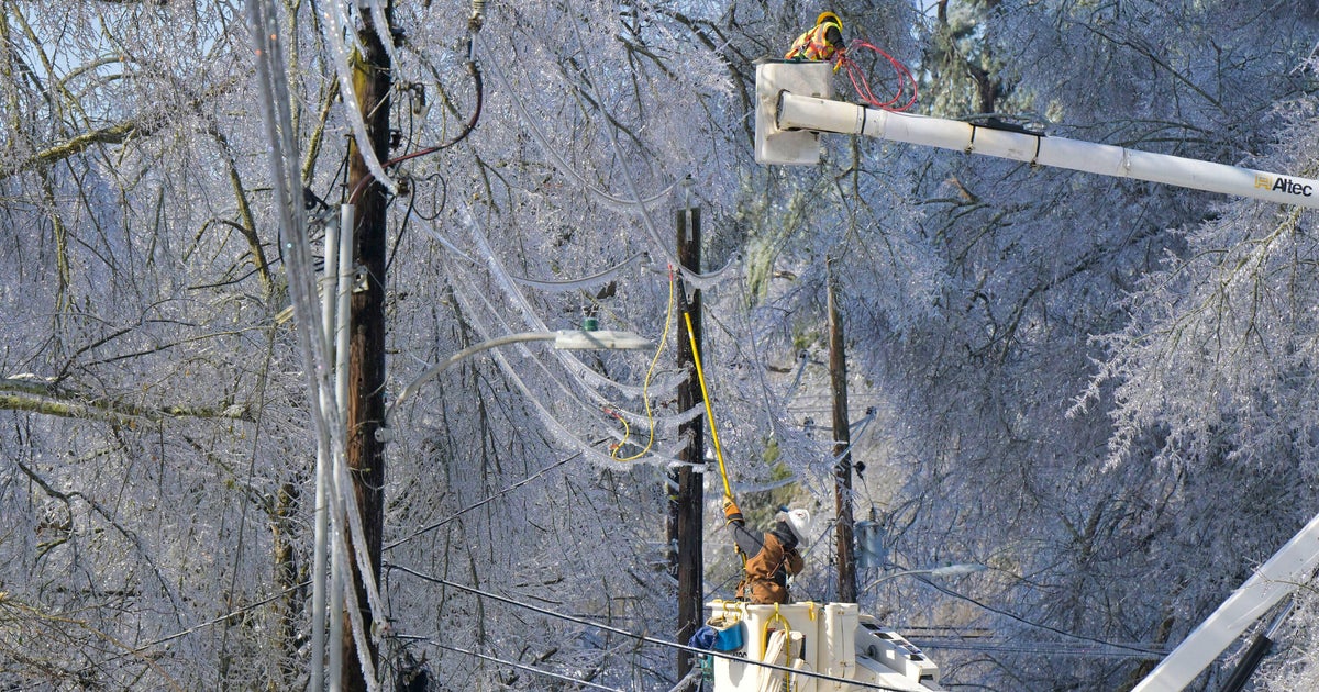
Storm Aftermath
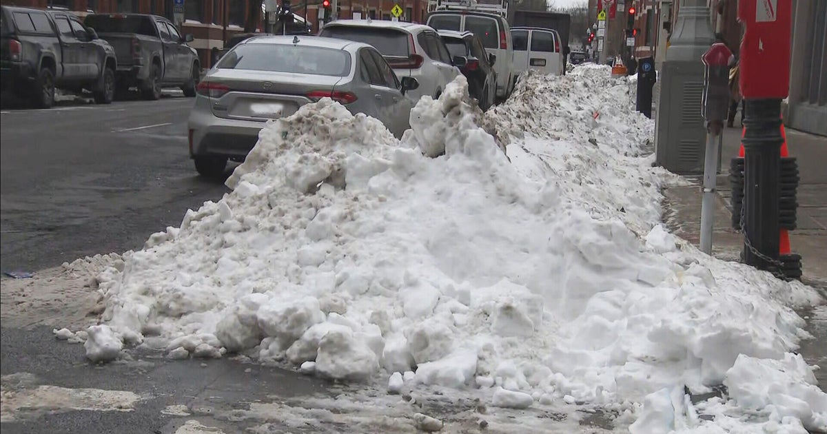
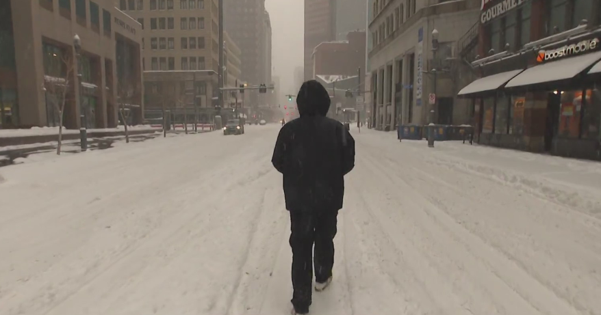
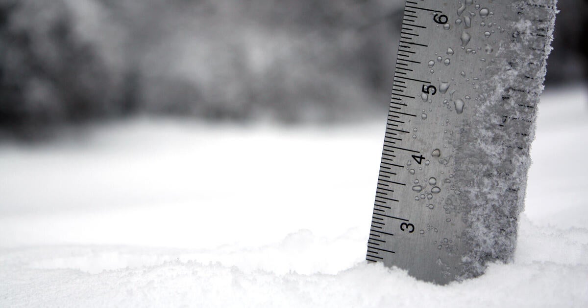
We did it! We made history! Boston recorded the 5th all-time snow event since records began (24.9"). In Worcester, the Blizzard of '13 is penciled in as the 3rd all-time snowiest event on record (28.5"). Now, let the clean-up begin!!!
Today is truly the 'calm after the storm'. The sun will be shining with cold high temperatures in the lower to middle 30s. The sunshine will be less effective due to the fresh snow pack and a phenomenon we call the 'albedo effect'. This allows for more of the sun's rays to be reflected as opposed to absorbed by earth's ground. Consequently, there will be less terrestrial radiation emitted when compared to a bare ground. Also, the solar rays will be 'used' to start melting the snow as well as a process referred to as sublimation, changing from a solid to a gas. With some melting continuing during the daylight hours, we must be mindul each morning as the snowmelt will re-freeze overnight with lows below freezing. Be safe!
Monday will be a milder day with rain showers. There could also be a wintry mix (sleet, freezing rain, rain), especially north and west of Boston, earlier in the day for the onset of the precipitation. This could definitely present an issue on the roadways mid-morning on Monday. Highs will reach the lower to middle 40s.
Tuesday and Wednesday will both be calm days with highs in the lower 40s on Tuesday and near 40F on Wednesday.
Models are showing slight difference on a track of a storm Wednesday night through early Tuesday. The EURO, which was the most dependable for the track of Hurricane Sandy last fall and also for the Blizzard of '13, is showing the storm staying south. That being said, I'm sticking to the EURO solution. A miss... The WBZ Weather Team will keep you updated.
Overall, we can expect a rather quiet week...
~Melissa :)

