Steady Snow Saturday Will Test Winter Driving Skills
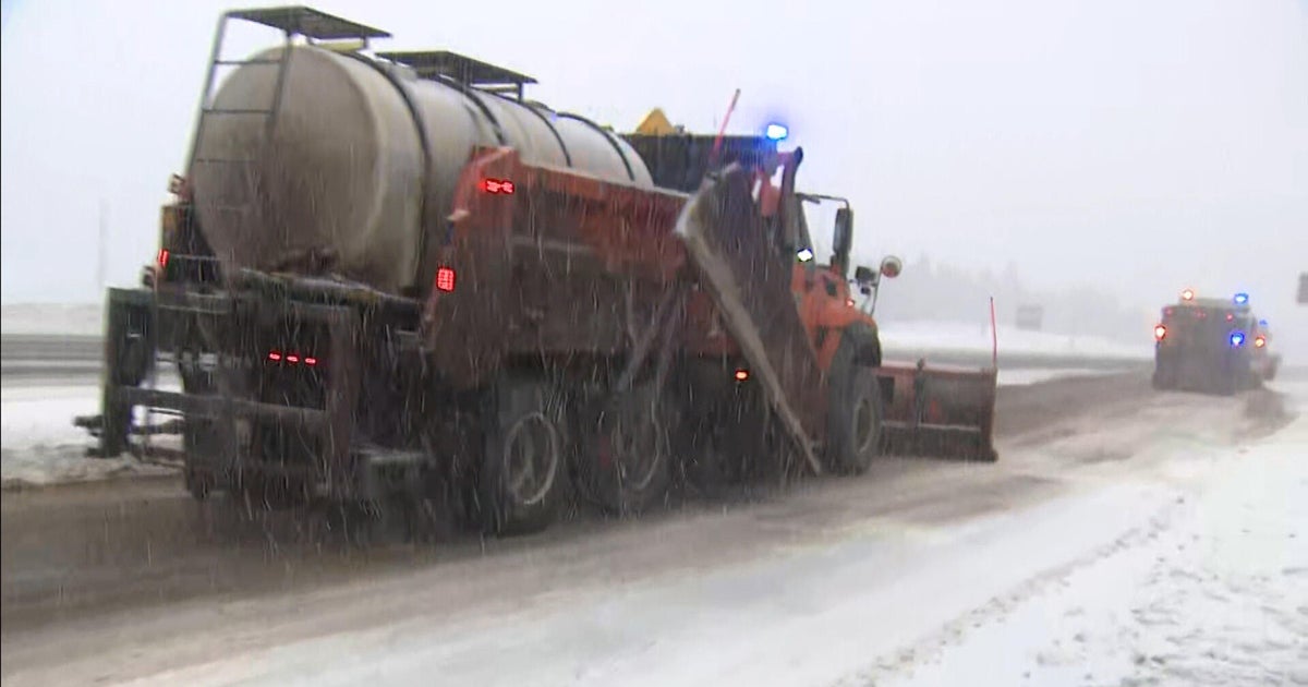
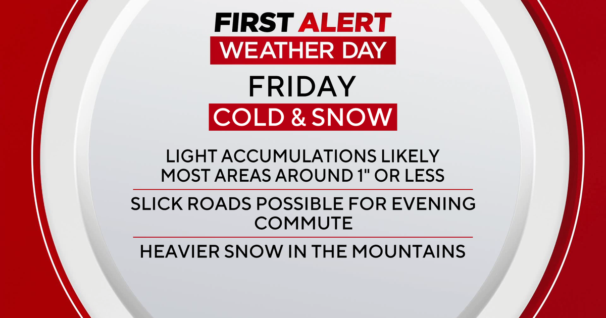
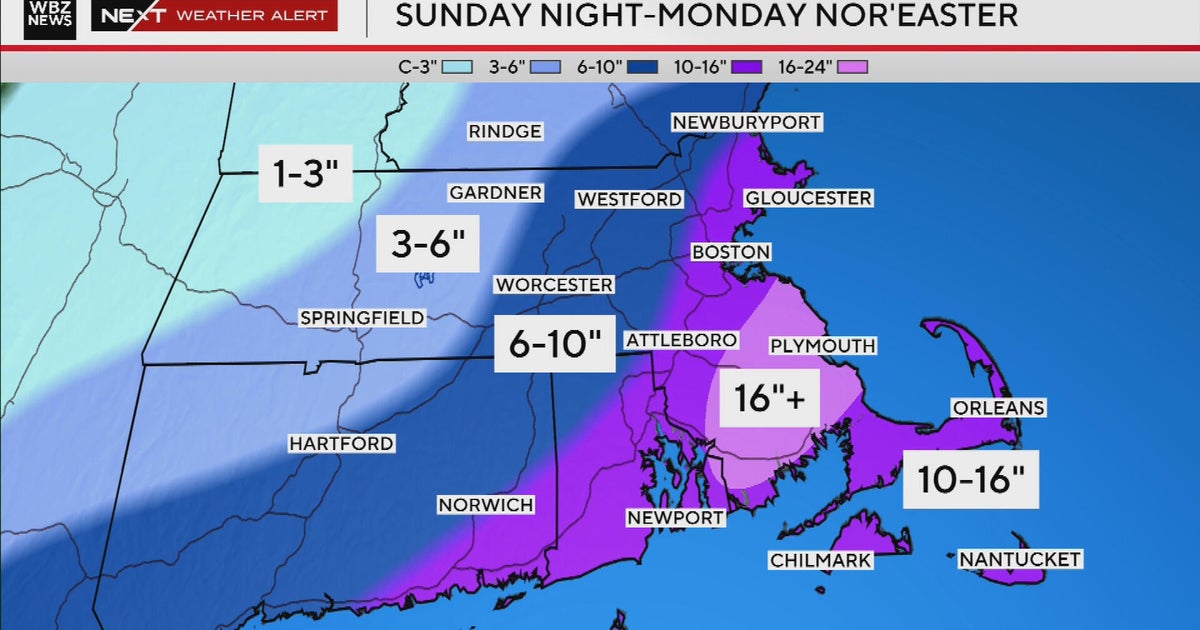
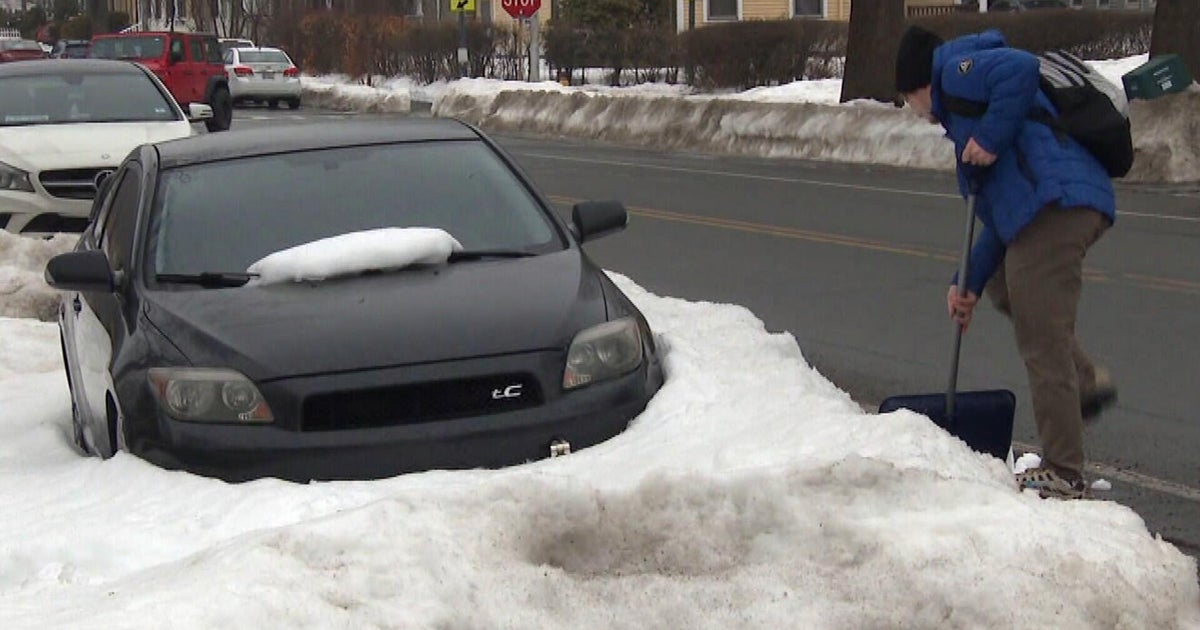
So far this winter most of our snow has been light or has occurred overnight, but this next round of snow will likely be our most substantial plowable snowfall we have seen since the October Nor'easter. Still, this will be no Nor'easter. Not even close. Still this will happen during the daylight hours with temperatures very cold in the teens and 20's. It will be a light fluffy snow for most, but the roads will quickly become snow covered and slippery. If you do not have to travel today...please don't.
Cold high pressure sits over us this morning supplying the cold. Our wave of low pressure sit over West Virginia and will track off the coast of the Delmarva peninsula and well south of Nantucket. This will ensure a mostly snow event for the region with the cold locked in place. We are dealing with very limited amounts of moisture with this system... .15-.2" of precip along the Mass Pike. Cold air will make for snow rations of 20-1...so even with this limited amount of moisture, snowfall will add up to 2-4 inches for Boston Metro. Amounts will fall off even more heading up through the Merrimack valley into SNH...with lower end totals...of 1-3". Heavier snow amounts are expected to move through CT, RI & SE MA...with available moisture .35-.65"...With slightly warmer air trying to push in during the afternoon. This will make for widespread 4-6" of snowfall totals with locally heavier amounts at the south coast in any bands. It will be a heavier wet snow along the south coast...so despite more moisture to work with...the environment for snow growth will not be as great.
As this low pushes off the coast, it will deepen a bit so there could be a bit of ocean effect enhancement with NE winds off the water which could help SE MA reach some higher totals toward 6" in places like Plymouth, Sandwich, Bourne, Duxbury, New Bedford. These ocean effect snow showers should last into the evening hours towards SE MA and the Cape....while the rest of us begin to clear out with building high pressure from the west. Temps will be falling below zero across the far north, single digits in NW valleys, teens in the suburbs and hold in the 20's right at the coast with a few more clouds and flurries.
Cold high pressure builds in over us Sunday with cool winds from the NE back to the east. Despite plenty of dry air in all levels of the atmosphere...I am afraid of low clouds backing in off the water with the onshore winds. Ocean effect flurries will likely continue at the coast. I think Sunday will start off with some sunshine...but clouds will be increasing from midday into the afternoon. Brighter skies will be found in Northern and Western New England, with more clouds in eastern MA.
Foxboro Forecast: Partly Cloudy, maybe a few flakes...light East winds. Kickoff near 30..falling into the upper 20's by the 4th quarter.
By Monday, High pressure is well off the coast wrapping in warmer SW winds. This will create overrunning cloud cover. Problem is plenty of cold air will remain at the ground. As clouds thicken, low level moisture may create some pockets of freezing drizzle early Monday AM before the warm air arrives late in the day. Our next low will be tracking up through the Great Lakes. This will wrap around a cold front and a lobe of rain which will track up the east coast and arrive later in the day with rain and warming temps into the 40's near 50.
Skies will be increasing with sunshine Tuesday & Wednesday with a gradual return to seasonal air for the middle to end of the week back into the 30's to end the week.
Please join us on Facebook at WBZ Weather. We would love to see some of your Photos and here from you about how much snow you have received. Be safe out there! A great snow day!
