Staying the Course...Waiting for the Curve
Whew! This storm has been a real nail biter considering the overall impact it is going to have. We know the story with last night's run of of the NAM which trended further west and continues to provide heavy amounts of precip in it's latest run. The lesson we have learned is how futile it is to try forecast snow accumulations and snow rain lines outside of 48 hours...and the importance of not jumping onto every model run. It will drive you nuts!
Unfortunately, the media beast demands to be fed...and that may cause us as TV meteorologists to stick our necks further out than we might otherwise like to do. Here we are within 24 hours and there are still questions on what is exactly going to happen...Granted, Some storms can have more consistency and model agreement which can allow for a fairly accurate estimate more than 48 hours our..but that is the exception. This time around it is just a matter of being patient, watching the block and upper level winds, and simply letting time run it's course with the approaching storm. Well, time is up...and we need to start nailing this down. There will be an element of play by play from here on out.
The thing that is catching my eye this morning, is the band of rain and snow south of Long Island this morning. Dry air in the low levels continues to eat away at this precipitation field as it approaches the south coast. A lot of this is Virga. It is hitting a wall of dry air with dewpoints in the teens. This will take much of the day, but by mid afternoon we could start to see a few light showers reaching the south coast with temps near 40.
Clouds are quickly filling in today with skies becoming cloudy. These clouds will thicken and lower into the evening hours. N0rthern New England is looking at a nice day with increasing afternoon cloudiness. Besides the western leaning NAM...most computer guidance including the 12Z GFS continue to take this storm far enough off the coast to just graze southeastern MA tonight into tomorrow..especially the Cape and the Islands.
The east coast trough will start to deepen as another short wave spills into to it today, helping to form an upper low south of New England. This will cause the low off our coast to rapidly start to deepen..but just too far away from us....keeping the heaviest precipitation and lift offshore. Still, it is the NW fringe of this storm which will clip Southeast MA tonight...possibly helped out with some ocean effect snow.
A few flurries have been flying at the coast already this morning. This morning I called for a dusting from Providence to Boston, D-1" ..Plymouth to Newport, and 1-4" for the Cape & Islands. The 4" is only if ocean effect banding sets up. It is important to note...The boundary layer will start out warm initially for showers on the Cape but will eventually transition to snow overnight once winds shift to the NNW. I feel OK about those numbers...but feel Plymouth county could see up to 2+" if any banding sets up between the cold and the warm boundary which could put heavier snow near the Bourne Bridge. But So far the QPF's have been heavier on the outer Cape. Once we change back to snow...accums should start to add up a bit more on the Cape by Monday. So I am Sticking with it...but if rain hold on a bit longer the numbers may be too high.
As the jetstream begins to turn negative, This low will then turn back towards Nova Scotia and start to wrap around warm air in from the Maritimes and form a convective band of snow showers which will back into Northern New England then shift south. The timing of this band has been a bit up in the air...but it appears Tuesday Afternoon into Wednesday we could see a period of light accumulating snow push through..with nothing more than and D-2" at the most. Once again..mainly just snow showers enough to accumulate on the grass but not affect travel.
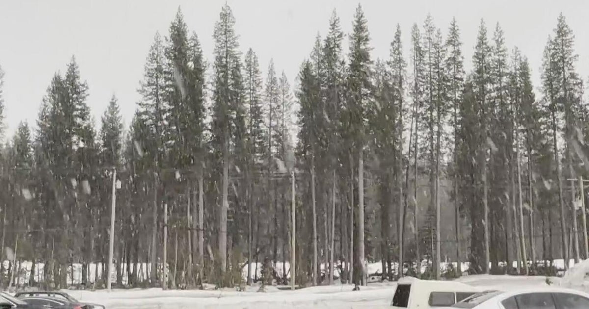
Cold dry air to follow for the end of the week. Will be eyeing a major storm which is currently slamming California with inches of rain and feet of snow in the Sierra Nevadas. This will take the entire week to move across the nation. This storm will deposit heavy snows on the northern side of it's track and create delays for midwestern airports in the days before Christmas.
This will be a major storm which will likely track south of New England Late on Christmas day into the day after with the potential for heavy snow and wind. Where have we heard that before? No, but really! We may have a shot with this one! ;) lol. So before the week is through...we just may have a white Christmas yet!
