Stalled...
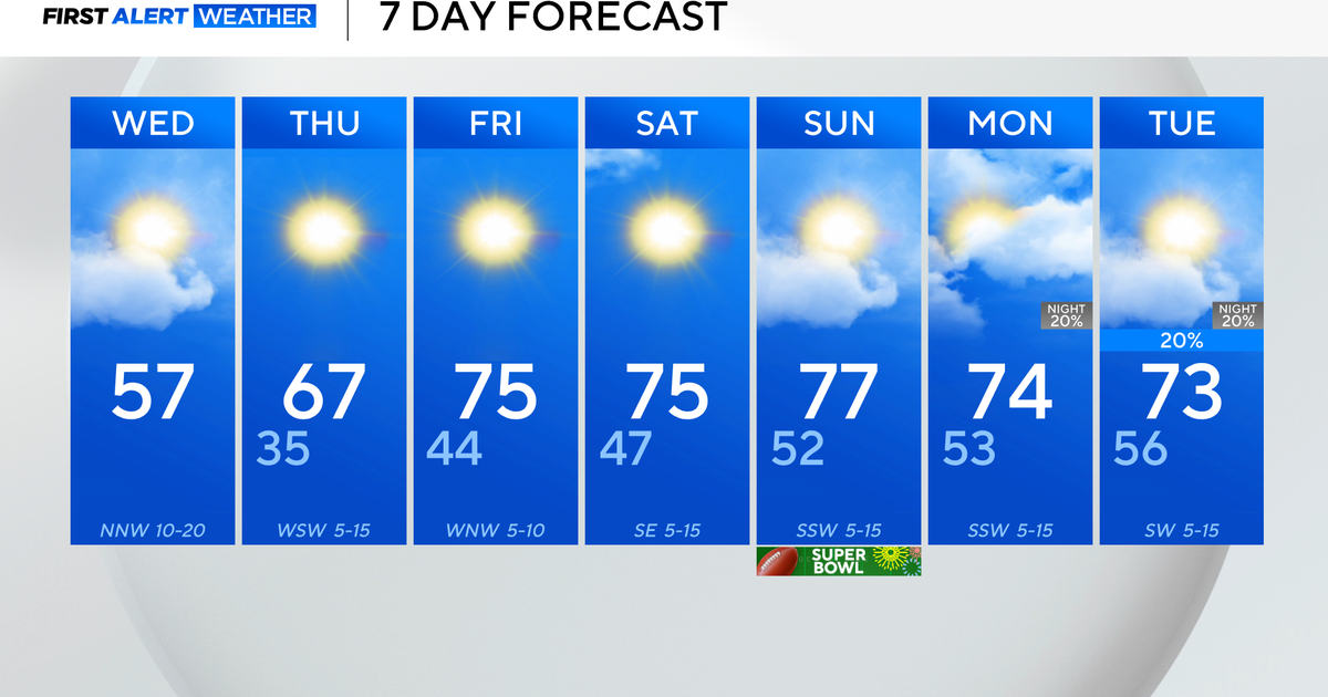
Not much to say here...we remain under the influence of a large storm near the mouth of the St. Lawrence River in Canada and its cyclonic flow. This keeps us somewhat unsettled some sun, more clouds and occasional showers. Tomorrow should be nearly identical to today with highs near 60 and gusty conditions. For Wednesday and Thursday, the low will migrate south through the Gulf of Maine this will weaken the gradient some and allow for seabreezes to develop during the afternoons. The mid-levels will still be very unstable so diurnal cumulus will grow and tower and numerous showers should develop with the daytime heating. Also, they may be slow movers with not much of a steering current so hopefully you see a quick soaking.
The storm will finally pull away on Friday and we will be out of its grips as the cyclonic flow shifts offshore leaving behind stellar conditions for the Sox home opener on Friday afternoon.
We will continue to see the pattern shift over the weekend with a ridge building, pumping warmth back into the Northeast for the first time in a while. Temps will climb from the 60s on Saturday through the 70s on Sunday and if an approaching coldfront slows down enough could continue to warm to near 80 on Marathon Monday.


