Spring Starts With Coastal Snow Storm
BOSTON (CBS) - Ahhhh…the first full day of spring…nice isn't it?
Perhaps back in the depths of winter you had circled today on the calendar and said to yourself: "I just gotta make it to Spring, it will all be better then."
Check: Interactive Radar | Current Conditions | Weather Blogs
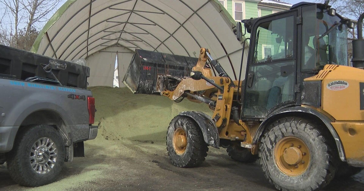
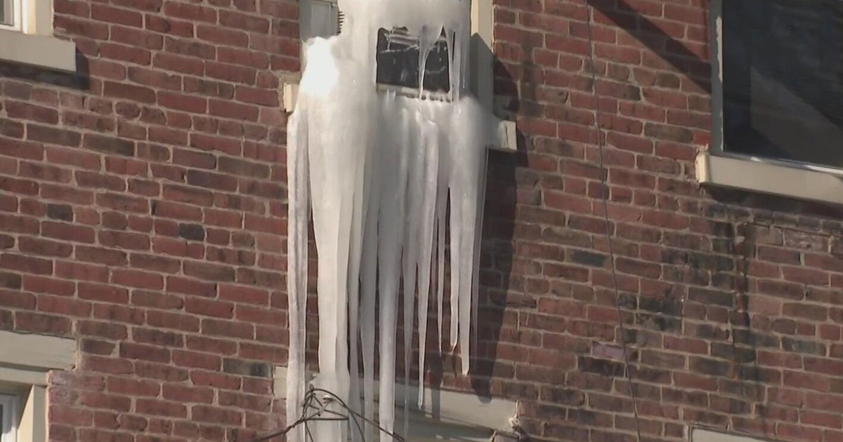
I am guessing what you encountered when you stepped outside this morning wasn't exactly what you had envisioned the first full day of spring would feel or look like. Piles of snow on the ground, perhaps even a few stray flakes in the air, temperatures in the teens and 20s, ice on the windshield and your friendly neighborhood weather forecaster predicting yet another round of snow for tonight.
Well there is some good news today. First of all we are missing out on a massive storm. It is snowing like crazy right now just a few hundred miles off our coastline. The fish are getting one heck of a winter storm today and I am sure you all agree, they can have it! 
This storm will stay well offshore and its core of wind, rain and snow will never come very close to New England, so what's the problem you ask? Well it seems this winter that no matter how hard we try, we just cannot avoid a snowstorm. I mean just a few weeks ago there was a storm that was nearly 600 miles off the coast, out near Sable Island, and somehow we managed to get pummeled with snow thanks to a bizarre set of circumstances and an "arm" of moisture arcing back toward New England. It seems that if there is any chance of snow, we are going to get it…if you see "watching" or "potential storm" on the 7day forecast, this year it is as good as gold, it's coming.
And today we have yet another example of what normally would be a blatant miss, a no brainer, out-to sea-, enjoy the Northern Atlantic storm…but this time, this year, snow is once again unavoidable.
This time it is likely to come from something we call a "Norlun Trough." If you have followed my blogs you may remember this term coming up before, even earlier this year, in fact.
A Norlun Trough, simply put is a narrow band of snow arcing out from the northwest portion of a storm system. It is very narrow in nature and extremely difficult to forecast. In fact, the one we forecasted earlier this year never really happened…it is sort of like forecasting a squall line of thunderstorms in the summer, you can never really be sure if it will form and where exactly is will set up, but it has the "potential" to drop a decent amount of precipitation in highly localized areas.
Looking back several years and even a few decades, we have had similar atmospheric setups that have resulted in these troughs dumping 10-20" of snow in narrow bands. Thankfully by no means am I forecasting anything like that this time and actually after looking at the most recent model data this morning, it appears that the support for any significant snowfall may not be there.
At any rate here is what to expect the rest of today and tonight…
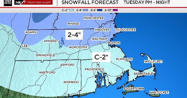
This band of snow will exist and sit over portions of Eastern Massachusetts for the next 24 hours or so. For the most part it will be very light, you may have seen a few stray snowflakes already today and that is pretty much all you will see for the next several hours, the air is so dry right now it needs time to saturate.
By tonight, after dark, the snow may finally pick up in intensity and have a better chance of sticking to the ground, but again this is a very localized phenomenon. There may be 1-3" in one town but only some flurries or a coating right next door.
Best guess as to where the "jackpot" may occur tonight would be in parts of Rhode Island and Southeast Massachusetts, anywhere from Fall River to Taunton and along the South Coast. But again, it appears that we would only be talking about a few inches at most. There could be a coating to an inch as far north as Boston and in some of the nearby 'burbs.
One word of caution - due to the unstable nature of these Norlun Troughs, there remains a potential for some localized higher amounts. I would not be totally shocked if a snow band set up shop somewhere and dumped as much as 3-6." It will be a night of watching the radar and "nowcasting," much like with summertime thunderstorms, so please stay tuned to WBZ tonight for any forecast updates.
Enjoy you first full day of spring…and just think, we are one day closer to summer…
You can follow Terry on Twitter at @TerryWBZ.