Spring Nor'easter...
We are going on day three with this Nor'easter and these Spring Nor'easters are only slightly better than their Winter cousins. Cold, raw, rainy and now snowy and sleetie (is that even a word :-)) this pattern needs to change and soon.
For now we are stuck under the influence of a slow moving storm and with nothing to kick it out of here it just keeps spinning and spinning, throwing waves of precip at us and pounding our coastline.
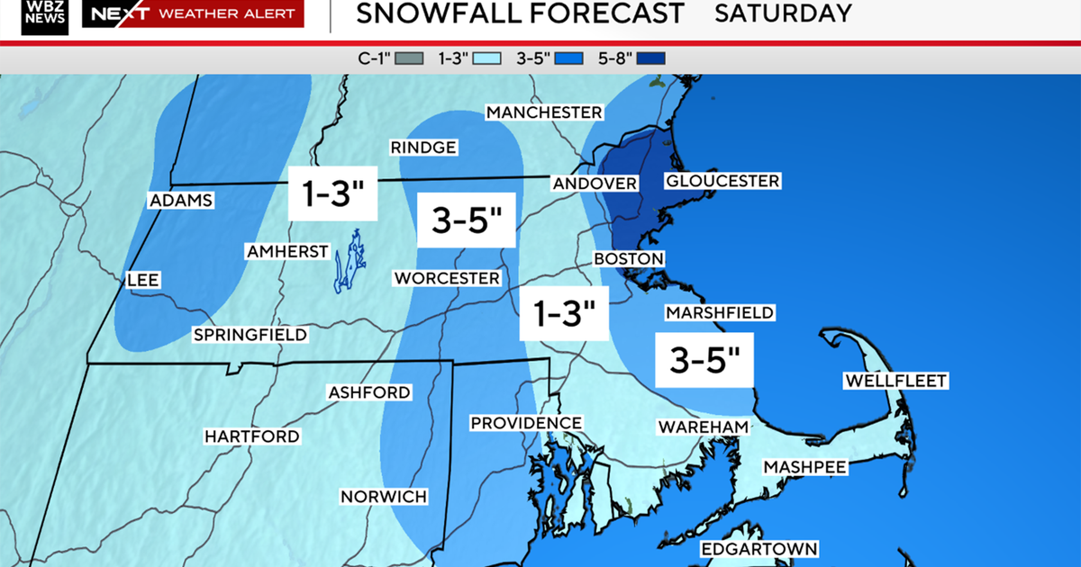
The latest round of precip is a narrow but intense band of rain, snow and sleet pivoting west to east across the State today. It has laid down coating of slush on the grass especially so don't be surprised if you see some thin accumulations.
Many of our Southern New England rivers are running very high and some are in flood stage as we speak...as of now all that are seeing problems are just seeing minor flooding.
The storm starts opening up a bit tomorrow finally shifting away just enough to let drier air and sunshine back into the forecast.
This time of year wind direction makes all the difference...anytime the wind is blowing in off the water that means trouble and a struggle for coastal communities to get out of the chill. I bring this up because onshore breezes will be a big part of the forecast for the rest of the week so if you are looking for the warmest temps head inland.
